


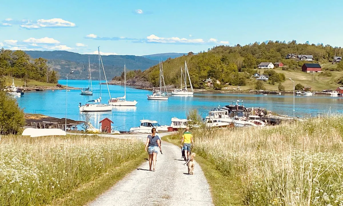
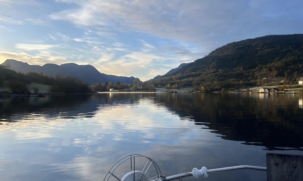
Kalvasundet
Natural harbour

Region: Norway (3464), Vestland (610), Hordaland (401), Hardangerfjorden (55), Kvinnherad (43), Rosendal (7) and Snilstveitøy (3)


Descriptions and reviews
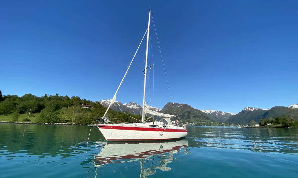
JV (SV Laughing Swordfish) says:
says:
area


maritime qualities
description
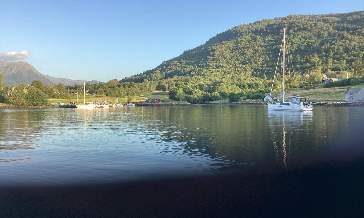
Shallow entrance, lookout recommended.
On chart there is marked path for old ferry route. I followed it in and out.
Anchor in 12m of water. Calm all night.
Good alternative for overnight vs Rosendal
Make sure to have your lights on

1 x helpful | written on 20. Oct 2025
Per Garen says:
area
maritime qualities
description
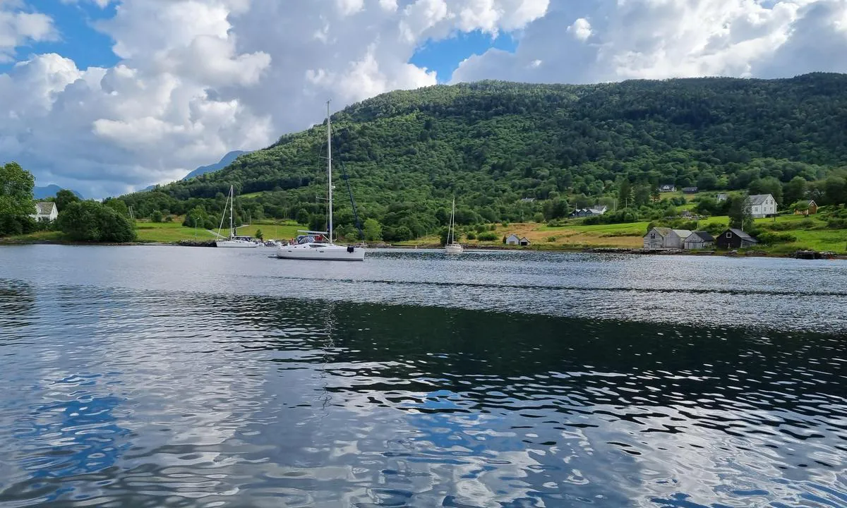
Lots of people and noise in Rosendal, so we moved here instead. Calm, relaxing, warmer water. Only a short dinghy ride to Rosendal.
[translated from Norwegian with AI]
1 x helpful | written on 13. Jul 2025
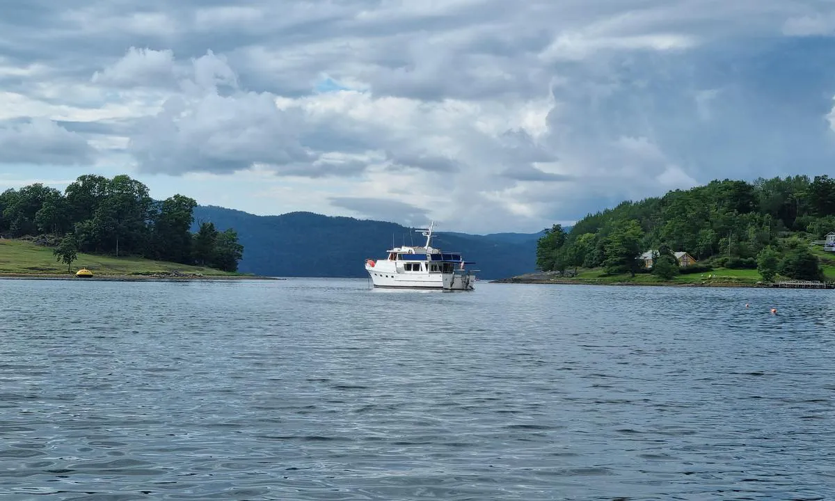
Southern Promise says:
says:
area
maritime qualities
description
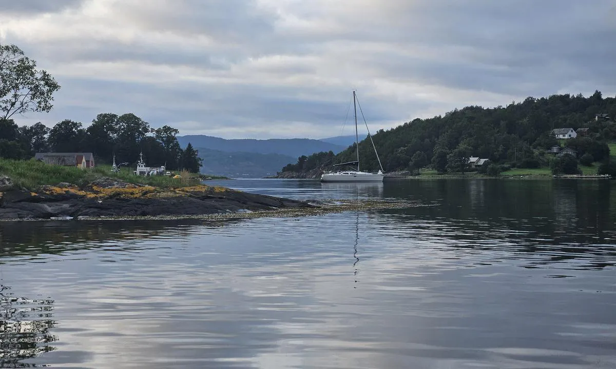
There is a shoal in both straits coming in here, having a lookout on the foredeck is an advantage. Anchored at approximately 15m
A nice dinghy ride into Rosendal
[translated from Norwegian with AI]
1 x helpful | written on 1. Aug 2023 | updated_on 1. Aug 2023
Do you know this harbour? It's a huge help to other sailors if you add a short description or review of the harbour.
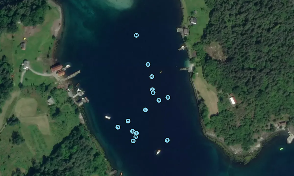
Map of Kalvasundet

Wind protection
Protection next night
78 points


Want to know how the wind score works? Then you should read this explanation.
The wind forecasts come from yr.no (Norwegian Meteorological Institute), and was last updated 1 hour and 26 minutes ago (Thursday 18 June 08:28 PM). The next night score shows you the worst hour between 22:00 and 08:00 the next night. We recommend that you check multiple sources for wind forecasts. windy.com is a good website to show larger wind systems.
The safe directions for this harbour was added at 15. Jul 2021. Click here to edit.
Last visits to Kalvasundet
Wed 07 Feb 2024 |
|
|
Sun 04 Feb 2024 |
|
|
Thu 01 Feb 2024 |
|
|
Mon 29 Jan 2024 |
|
|
Mon 20 Nov 2023 |
|
|
 MINIKALVEN [MMSI: 259026420]
The visits are retrieved from AIS data. You can click to see all visiting ships to Kalvasundet, as well as statistics about the ships that visits
Add this harbour to a journey
Choose a different date than today
Important: When you check in to a harbour, you add it to a journey on this website. You are not booking a place in the marina.
Contributors
Users that contributed to this page: JV (SV Laughing Swordfish), Geir Kallevik, Suse / SY Ronja, Southern Promise and Eirik Grant Urquhart Furre
harbourmaps.com is updated by the boating community. When you add information, a review or pictures to this page you are listed here with the other contributors (we list your user-name, which can be your real name or a pseudonym).
Closest harbours to Kalvasundet
Filter by
Order by
0 harbours
Show more harbours
