


Rauane
Natural harbour

Region: Norway (3477), Vestfold og Telemark (229), Telemark (68), Kragerø (39) and Skåtøy (17)


Descriptions and reviews
Cecilie Røsjø says:
description
Jeg har vokst opp her, og som barn pleide vi å lose folk trygt inn Ola-gapet. Det anbefales å sjekke vær og vindforhold, samt gå inn i dagslys, helst ved fjære (lav vann) da det er enklere å se skvalpe-skjærene som ikke er merket av på noe draft.
Det finnes flere solide ankringspunkt i fjellet, da seil skutene pleide å ligge her for å vente på los, inn til Kragerø.
Ankringsplassene mot hyttene er full av gammel tjære, og den blir bløt og flytende når sola får tak. Sitter som 2-komponent lim.
Dette var felles sted for alle på øya, for å vedlikeholde rusene sine.
På innsiden av Ytre Rauane, den største holmen med 1 hytte, er det en lang tarm av en grunne, som er helt perfekt for små barn som ikke kan svømme.
Vannet skiftes ut, hver dag, med flo og fjære.
Har du jolle, og kommer med seilbåt, er det like greit å ligge på svai. det gir flere muligheter for å finne den perfekte badeplassen, i le.
Kragerø Seilforening pleier å legge ut minst 1 bøye, de sjeldent bruker selv.
Innseilingen fra gamle Portør havn, langs Vestre Rauane, med ryggen til tuppen av Stabbestad landet, har flere gode, ankringsplasser, i le for det meste av vær, hvis du har båt under 40 ish fot, og ikke stikker så dypt. Her finnes det mulighet for å legge spring, EEØ (etter eget ønske).
Det er flere vernede hekkeplasser rett rundt Flaket, så vi ber innstendig om at dere er nøye med å plukke med dere søppel, og ta med evt plast dere ser.
I selve Olagapet (innseilingen) er det godt med fisk å få, når været har stått ordentlig på, og dønningene rumler inn. NB!!! Svært glatt!Bruk vest. Vi pleide å sette garn her, før uværet traff, så vet av erfaring, hvor sterk strømmen er. Rodd der mer enn jeg gidder å huske :-)).
På holmene der bølgene skvulper som best, rett ut i Skagerak, er det godt med fiske. NB! Krever jolle for å komme i land, og bruk vest. Her kommer ingen redningsskøyte etc nærme nok, pga skjær så langt øye kan se.
Skitt fiske! Og god tur! Gleder oss til å dele vårt lille paradis, Ytre Rauane.
https://youtu.be/Vjc1RtmXWuo?si=cn9jlnOqglIYm0fx

1 x helpful | written on 17. Sep 2025 | updated_on 17. Sep 2025
Olav Pekeberg
 says:
says:
description
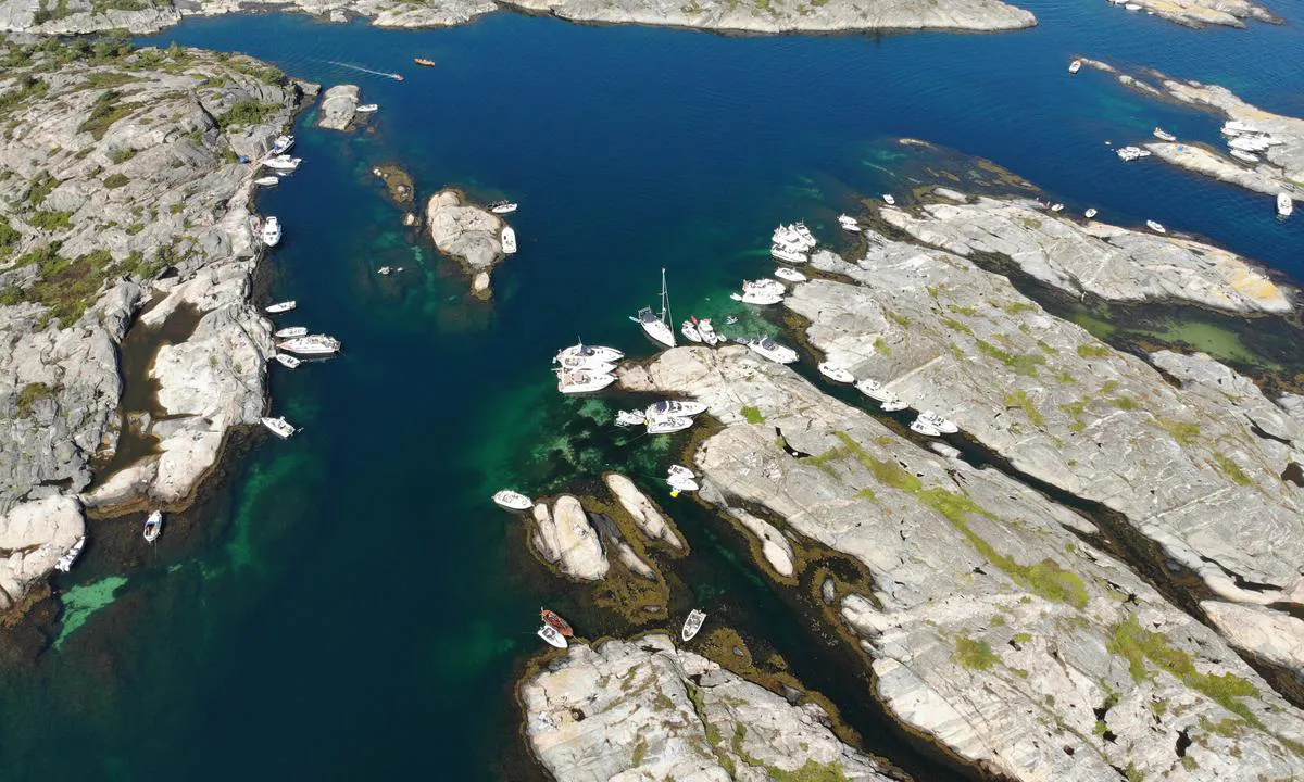
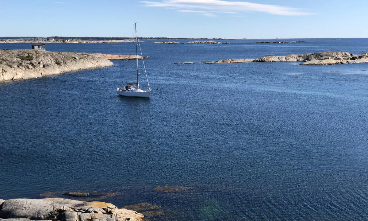
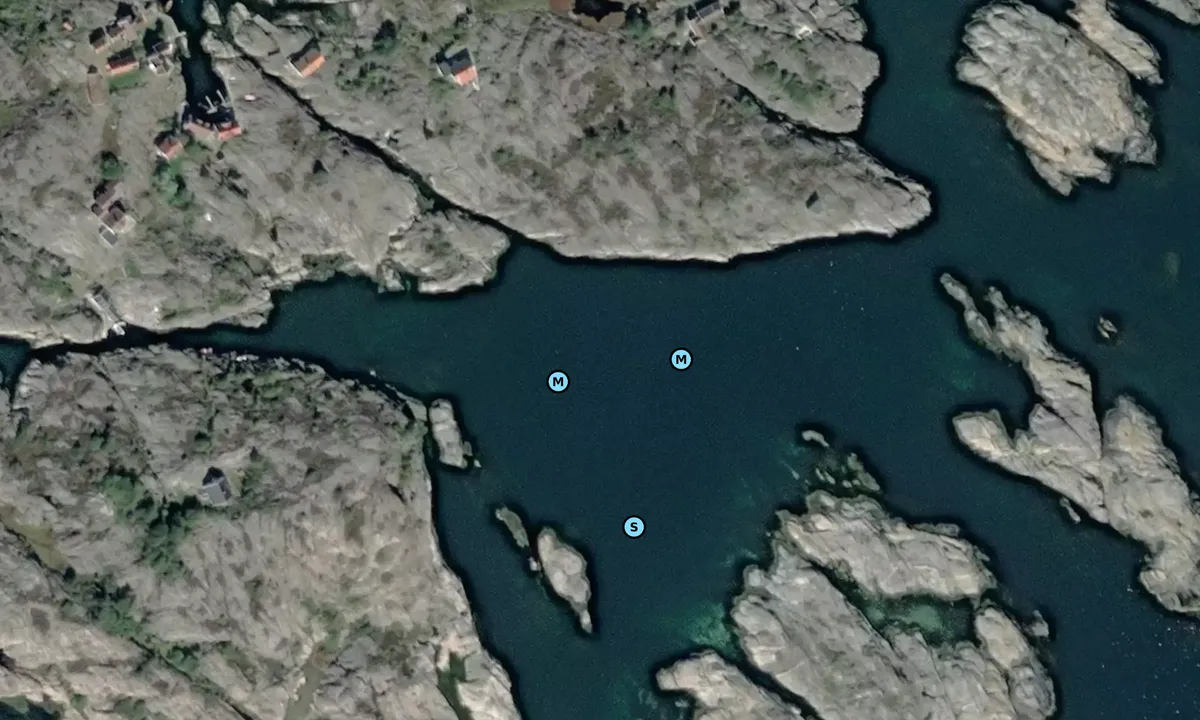
Approach and maritime conditions: Rauane is situated at the southernmost outlet from Kragerø, between Portør and Jomfruland. It is an excellent natural harbour on the way up or down the southern coast. The approach is rough and poorly marked, so you need to be cautious. It is possible to enter from the east, but the nautical charts recommend a marked approach from the south. If you enter from the east, you must navigate between two shoals with a depth of 1 meter. If you take the southern route, there is a submerged rock in the middle of the channel on the way in. Use GPS. There is a cable running through the anchoring area, so you need to anchor well to the south in the inner harbour. There is only enough room for one to two boats here, but more if moored against the shore.
Anchoring: Anchoring at about 10 meters depth. It's also possible to moor using a stern anchor towards the land, but be careful as the waters are very rough.
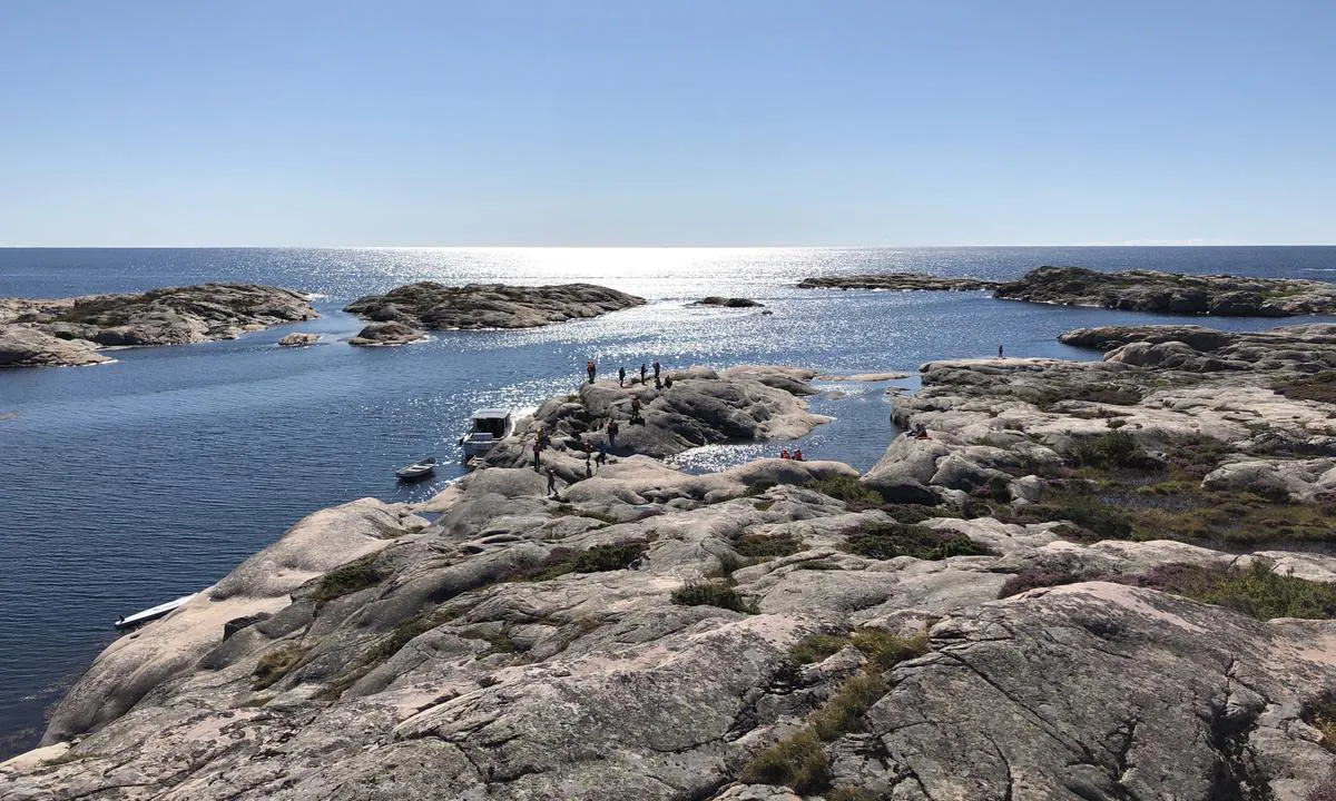
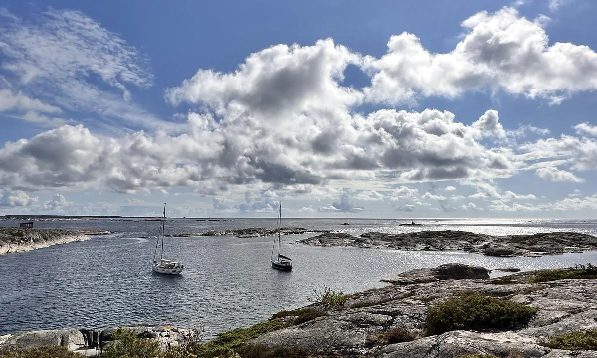
The area: Rauane consists of many smooth, bare islets and is a piece of coastal paradise. The islands on the northern side have old buildings that are now cabins, and the islands to the south are undeveloped. This is a perfect place for children to run around and play.
[translated from Norwegian with AI]
0 x helpful | written on 27. May 2021
Do you know this harbour? It's a huge help to other sailors if you add a short description or review of the harbour.
Map of Rauane

Wind protection
Protection next night
86 points


Want to know how the wind score works? Then you should read this explanation.
The wind forecasts come from yr.no (Norwegian Meteorological Institute), and was last updated 1 hour and 50 minutes ago (Saturday 04 July 12:29 AM). The next night score shows you the worst hour between 22:00 and 08:00 the next night. We recommend that you check multiple sources for wind forecasts. windy.com is a good website to show larger wind systems.
The safe directions for this harbour was added at 27. May 2021. Click here to edit.
Last visits to Rauane
Wed 09 Jul 2025 |
|
|
Thu 31 Aug 2023 |
|
|
Sun 13 Aug 2023 |
|
|
Wed 26 Jul 2023 |
|
|
Mon 24 Jul 2023 |
|
|
 RAMBLER [MMSI: 257074390]
 CARMEN [MMSI: 257116830]
 LONA [MMSI: 211342330]
The visits are retrieved from AIS data. You can click to see all visiting ships to Rauane, as well as statistics about the ships that visits
Add this harbour to a journey
Choose a different date than today
Important: When you check in to a harbour, you add it to a journey on this website. You are not booking a place in the marina.
Contributors
Users that contributed to this page: Olav Pekeberg, Kenneth Herfoss, Marianne Bakken and Cecilie Røsjø
harbourmaps.com is updated by the boating community. When you add information, a review or pictures to this page you are listed here with the other contributors (we list your user-name, which can be your real name or a pseudonym).
Closest harbours to Rauane
Filter by
Order by
0 harbours
Show more harbours
