










Sør i Ommane - Ølbergholmen
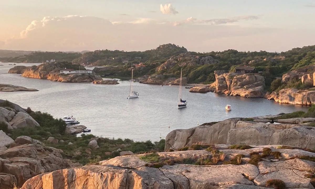
Natural harbour

Region: Norway (3538), Vestfold og Telemark (228), Vestfold (187), Larvik (36) and Tjodalyng (16)










Descriptions and reviews
Steffen Rikenberg says:
says:
area

maritime qualities

description
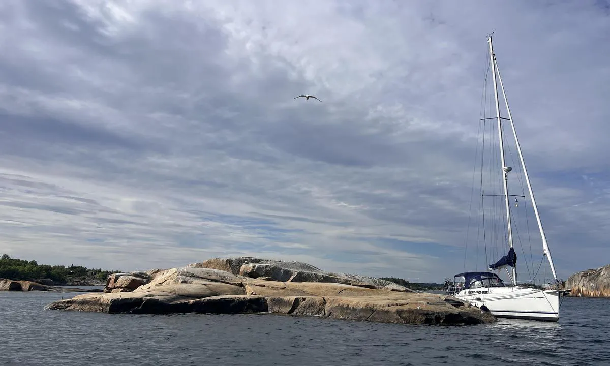
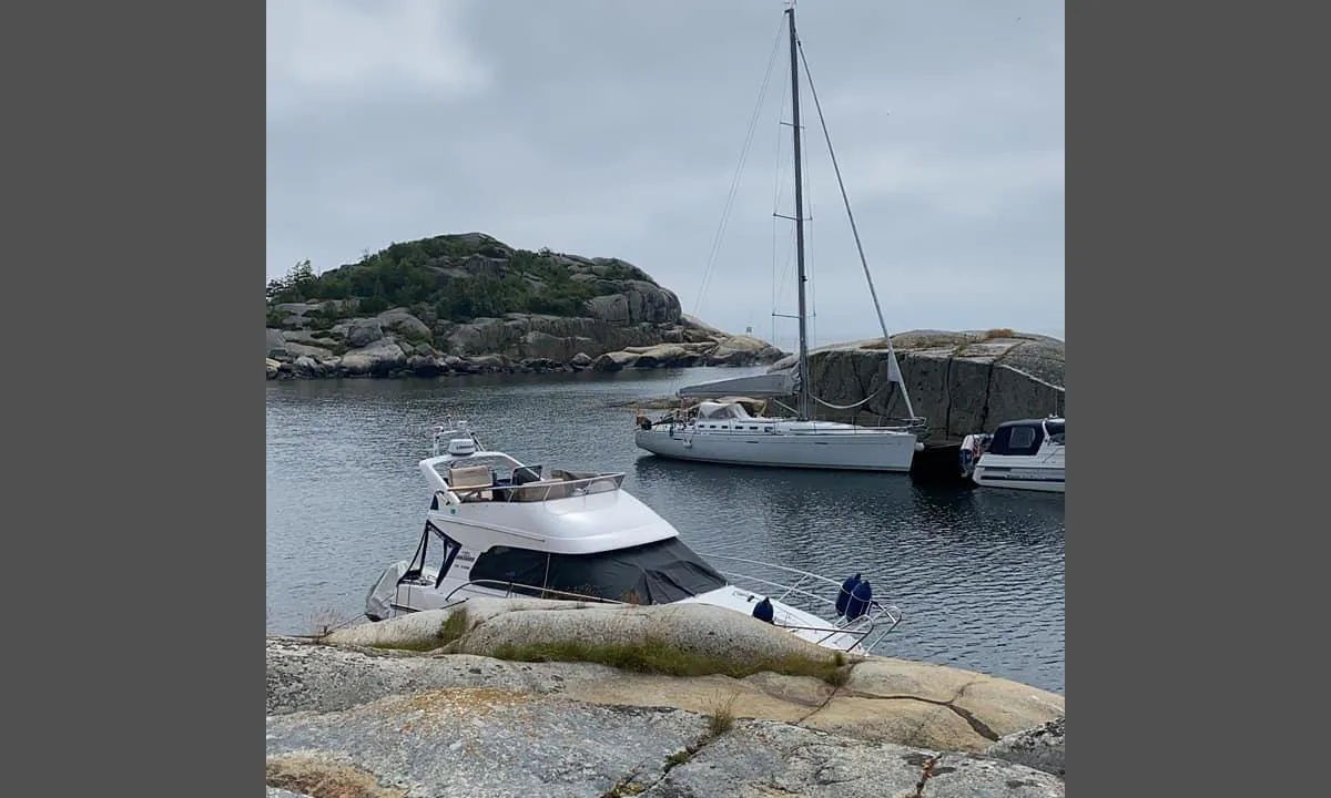
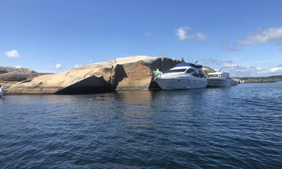
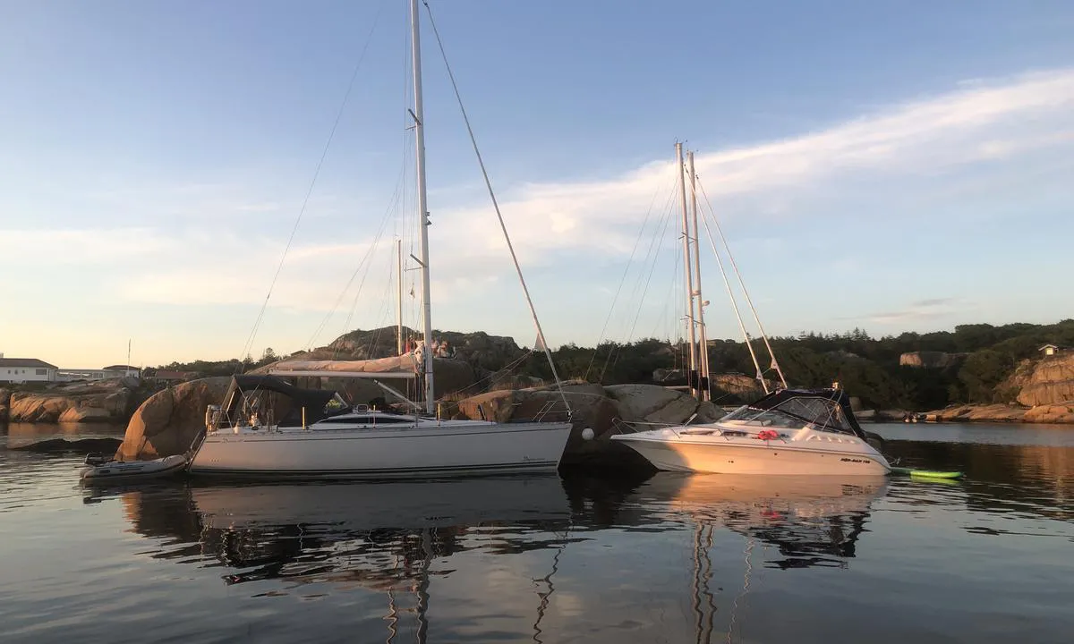
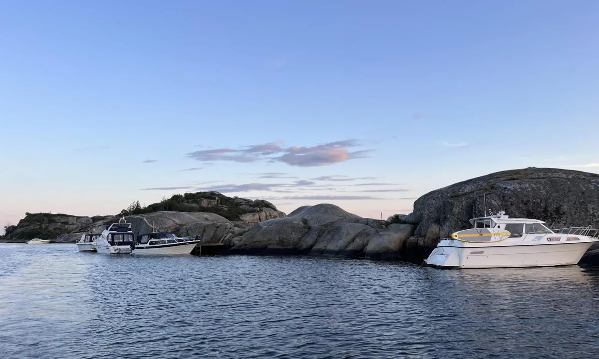
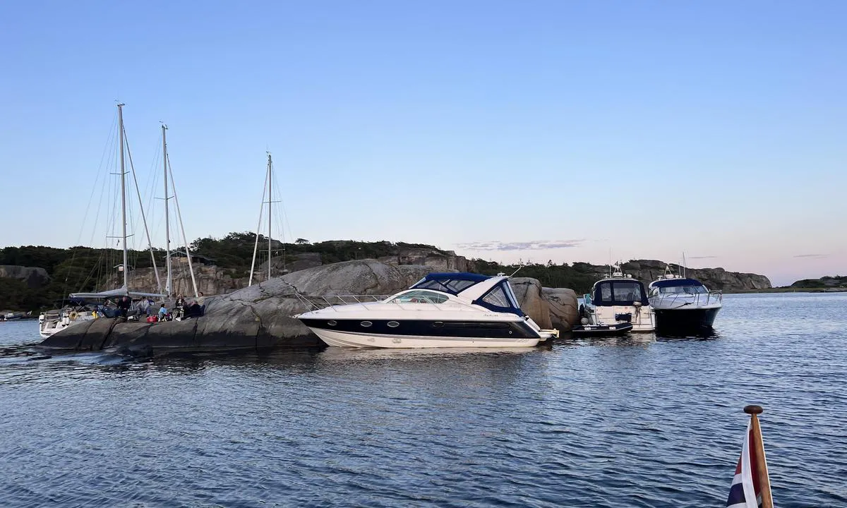
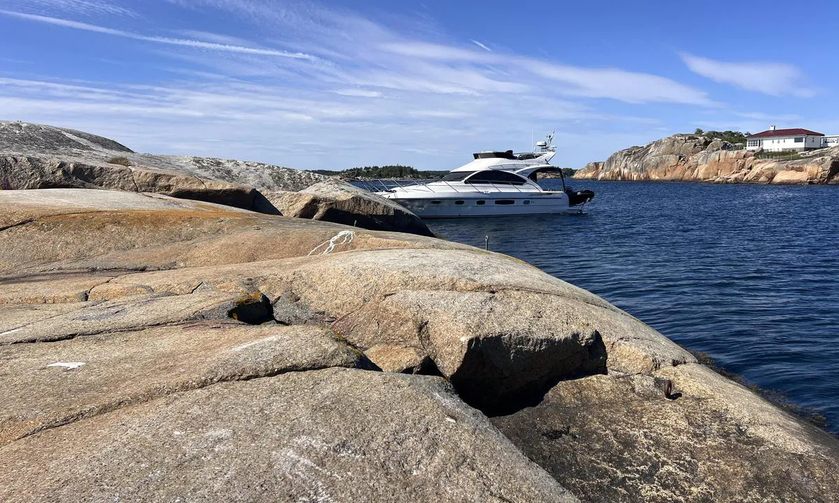
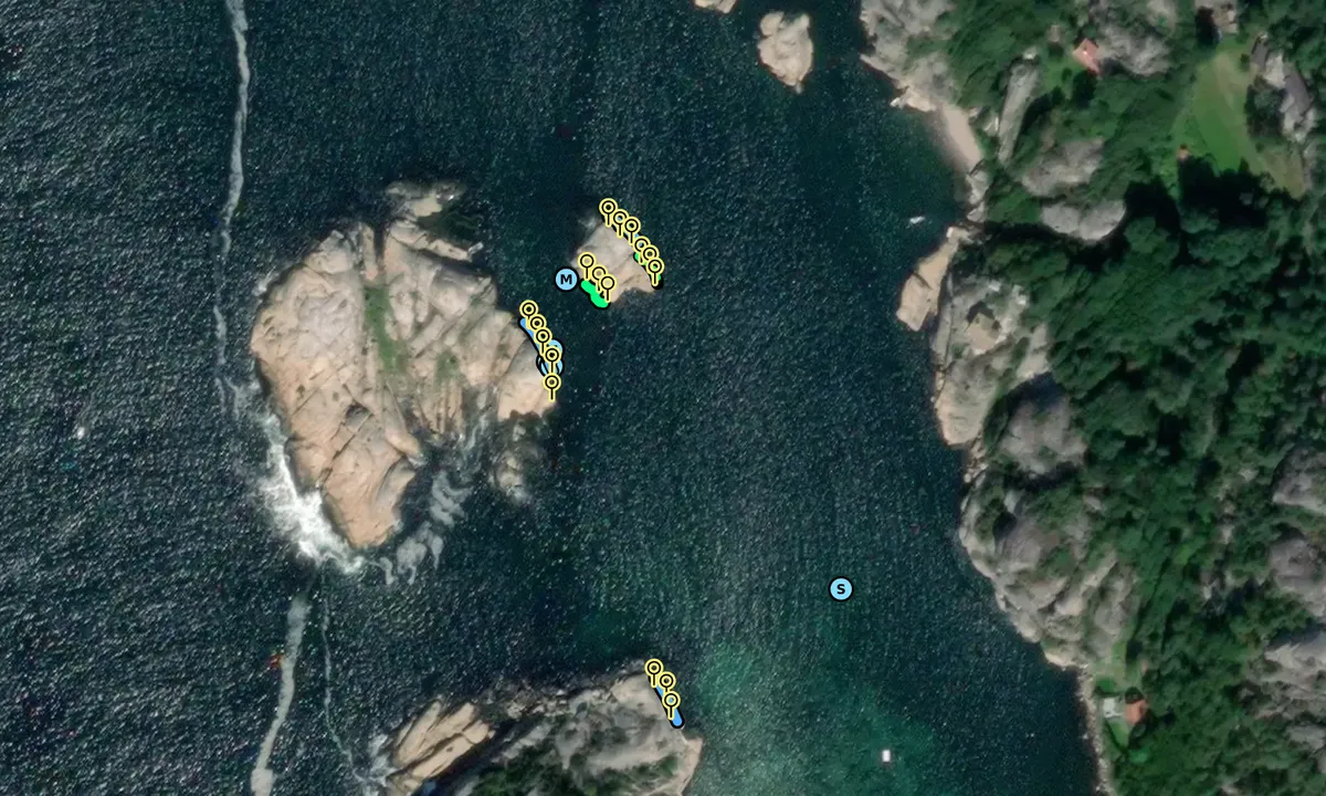
Moored on the small islet northeast in the harbor. Good with bolts but a pipe on the bottom complicates anchoring. The southwest wind came in a bit over the islet, so we sought shelter elsewhere.
[translated from Norwegian with AI]

1 x helpful | written on 25. Jul 2026
Martin F says:
area
maritime qualities
description
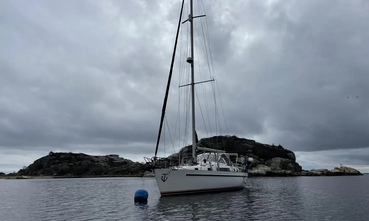
A great harbour. However, the blue buoy complicates anchoring at swing when the wind direction changes. It quickly becomes cramped.
[translated from Norwegian with AI]
1 x helpful | written on 29. Jul 2025
TESO says:
says:
area
maritime qualities
description
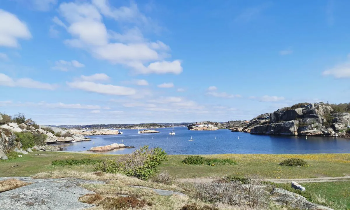
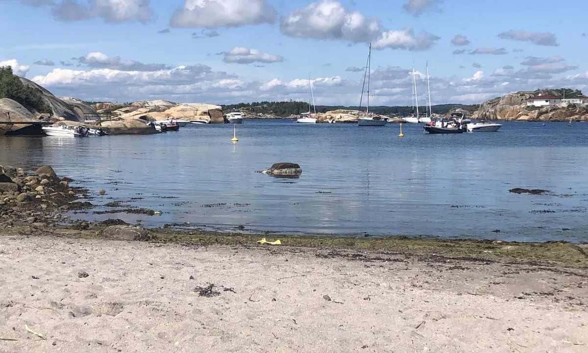
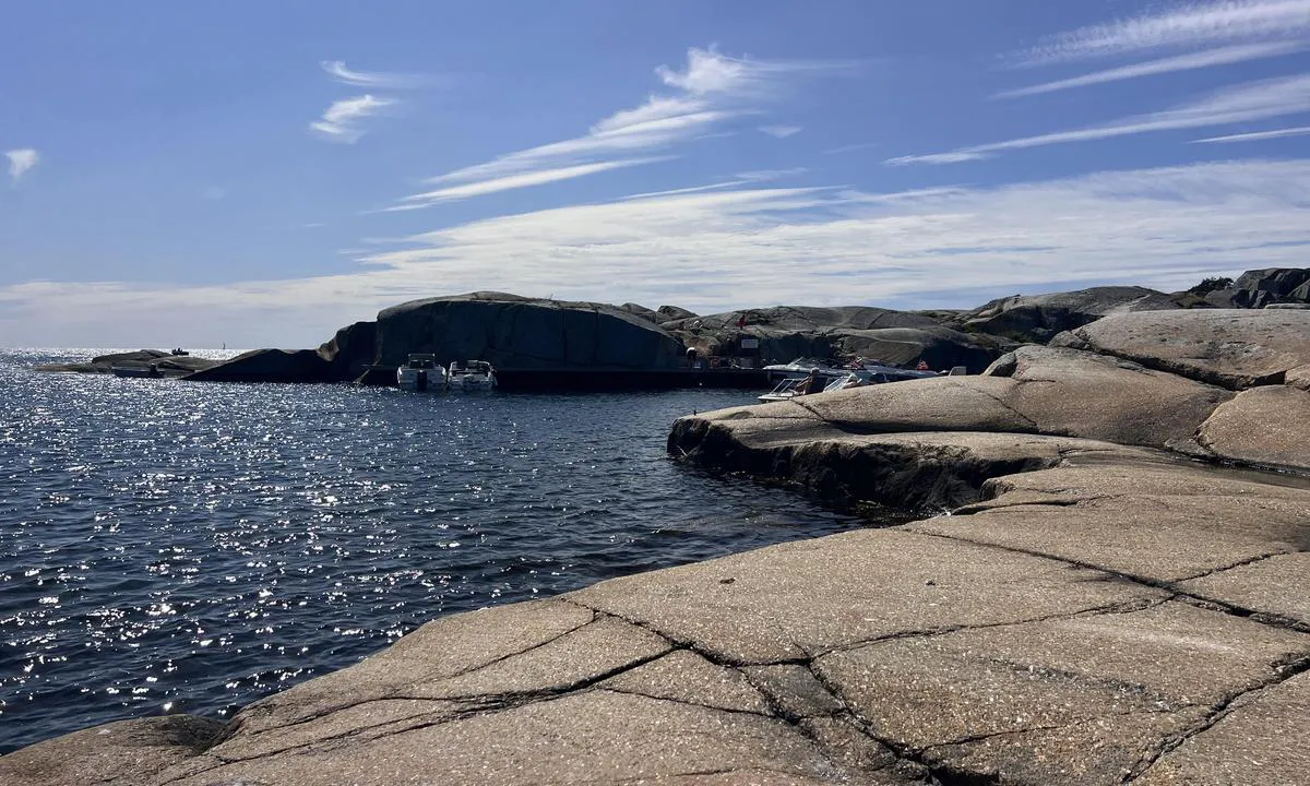
Flott naturhavn hvor svai, longside eller dregg mot land er mulig. Stor fin, langgrunn sandstrand. Ved vedvarende sterk sør/sørvestlig vind kan det være noe drag fra sjø i havnen.
God dybde på vest og østsiden. Grunnere mot sør, men motorbåt med baug inn går fint. Det vil derimot være utsatt for vind fra sør/sørvest.
Sandbunn, bolter i fjellet. Tilrettelagt med ilandstigningbrygger flere steder.
Lett adkomst fra havet, via Viksfjord er det mange grunner og skjær. Disse er merket i kartet, men ikke alt er merket i ‘terrenget’
1 x helpful | written on 28. Jul 2023 | updated_on 23. Jul 2026
TINGELING says:
description
Blue buoy in the bay by Ølbergholmen.
[translated from Norwegian with AI]
2 x helpful | written on 17. Jul 2022
Do you know this harbour? It's a huge help to other sailors if you add a short description or review of the harbour.
Map of Sør i Ommane - Ølbergholmen

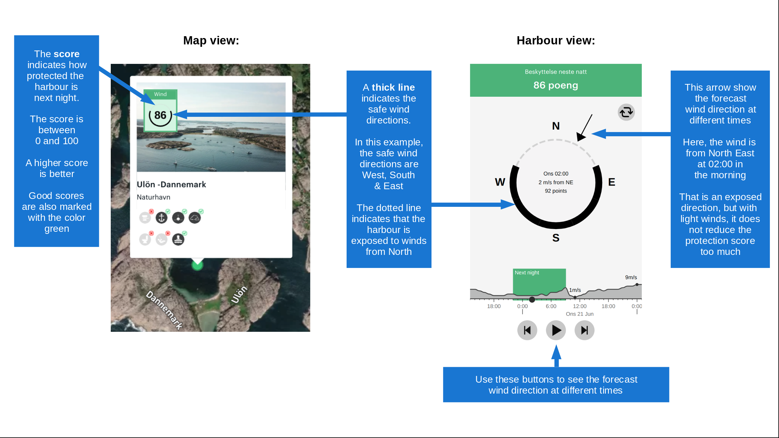
Wind protection
Protection next night
93 points



Want to know how the wind score works? Then you should read this explanation.
The wind forecasts come from yr.no (Norwegian Meteorological Institute), and was last updated 1 hour and 54 minutes ago (Tuesday 22 September 04:29 PM). The next night score shows you the worst hour between 22:00 and 08:00 the next night. We recommend that you check multiple sources for wind forecasts. windy.com is a good website to show larger wind systems.
The safe directions for this harbour was added at 23. Jul 2026. Click here to edit.
Last visits to Sør i Ommane - Ølbergholmen
Wed 15 Jul 2026 |
|
|
Sat 13 Jun 2026 |
|
|
Thu 28 May 2026 |
|
|
Sat 16 May 2026 |
|
|
Fri 01 May 2026 |
|
|
 RETT FRAM [MMSI: 258325620]
 SMAK AV HONNING [MMSI: 258155530]
The visits are retrieved from AIS data. You can click to see all visiting ships to Sør i Ommane - Ølbergholmen, as well as statistics about the ships that visits
Add this harbour to a journey
Choose a different date than today
Important: When you check in to a harbour, you add it to a journey on this website. You are not booking a place in the marina.
Contributors
Users that contributed to this page: Olav Pekeberg, Ragnhild Hanch-Hansen, TESO, Anita Fredriksen, Rolv Møll Nilsen, Flostrand and Tove Lunde
harbourmaps.com is updated by the boating community. When you add information, a review or pictures to this page you are listed here with the other contributors (we list your user-name, which can be your real name or a pseudonym).
Closest harbours to Sør i Ommane - Ølbergholmen
Filter by
Order by
0 harbours
Show more harbours