Uttoskavågen
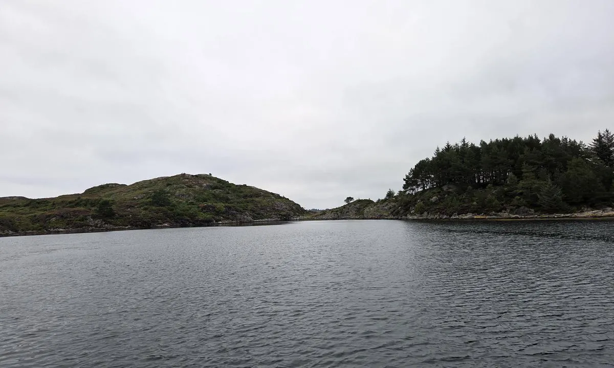
Natural harbour

Region: Norway (3434), Vestland (602), Hordaland (396), Alver (25), Manger (4) and Toska (2)

Descriptions and reviews
Ocean Star says:
description
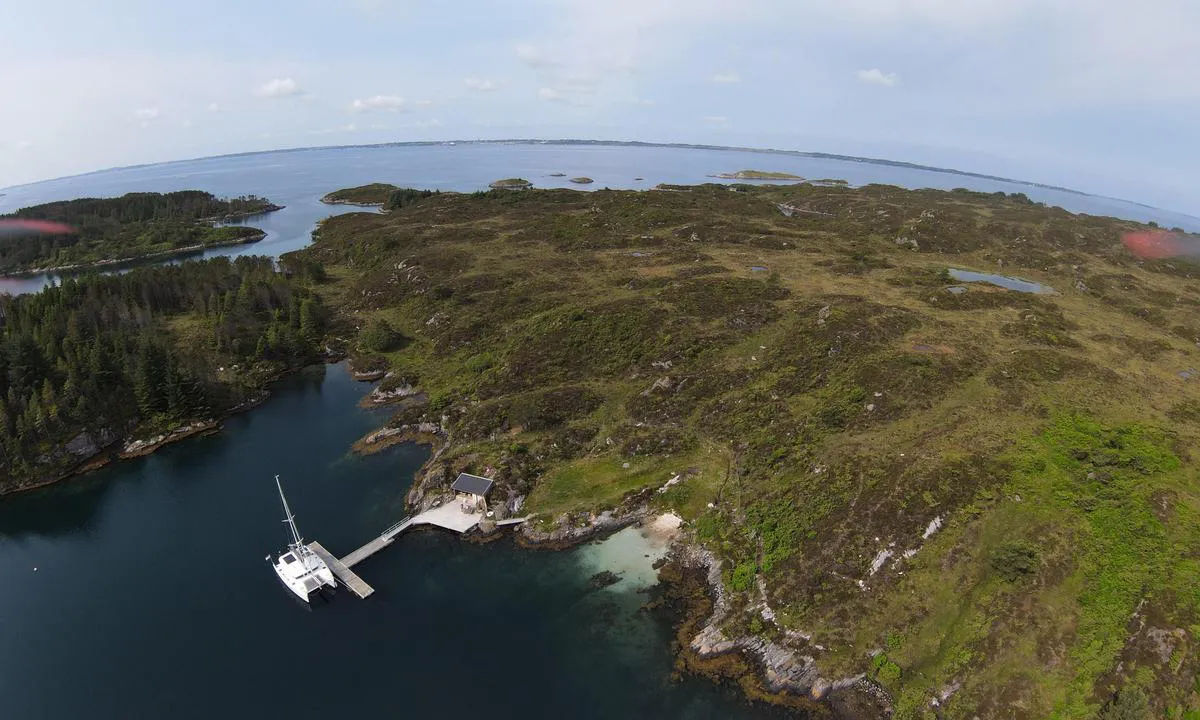
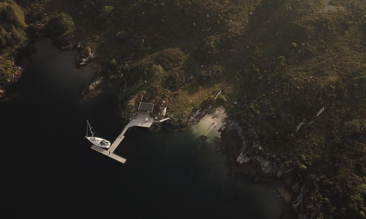
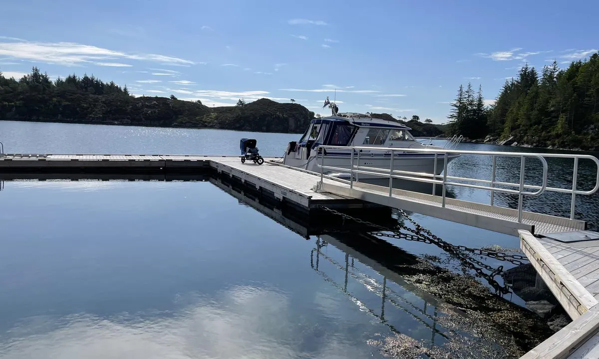
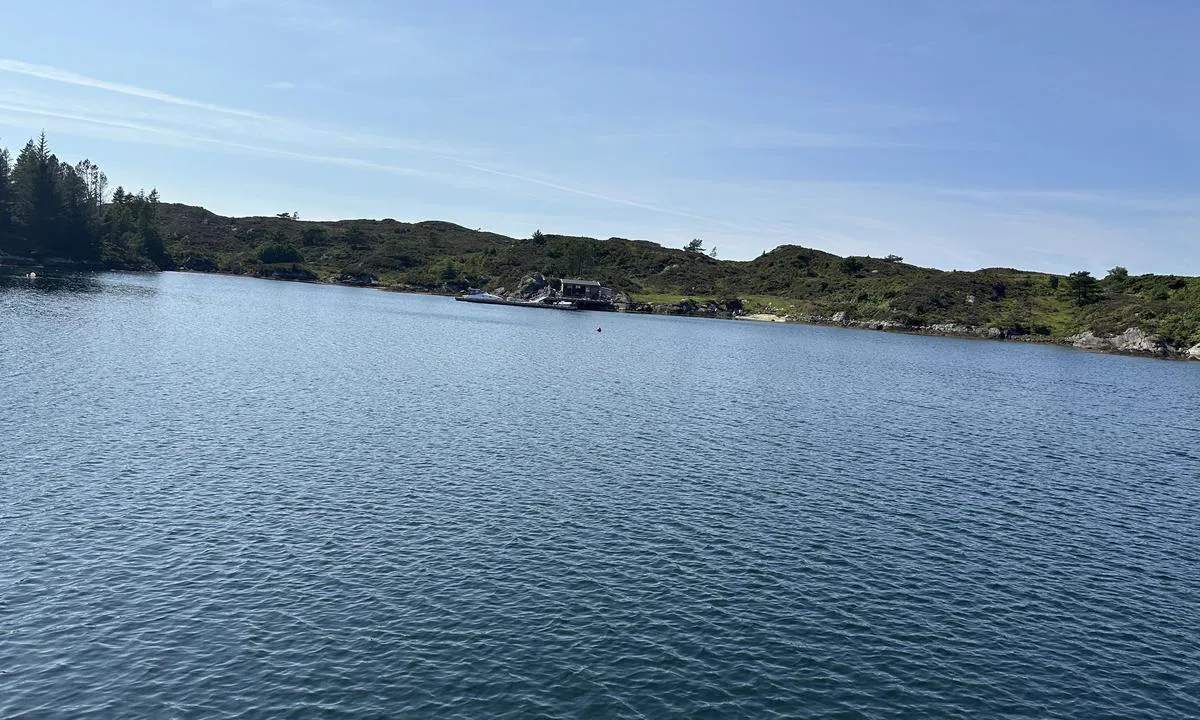
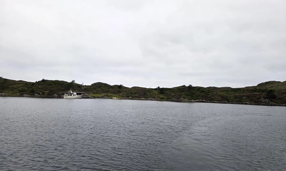
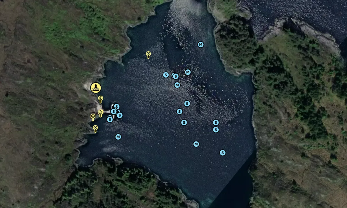
The two buoys mark the position of the anchor weights for the floating dock, to prevent boats from anchoring too close to them. The buoys cannot be used for mooring!
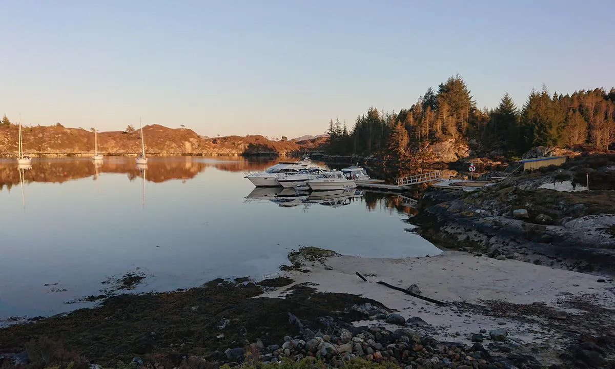
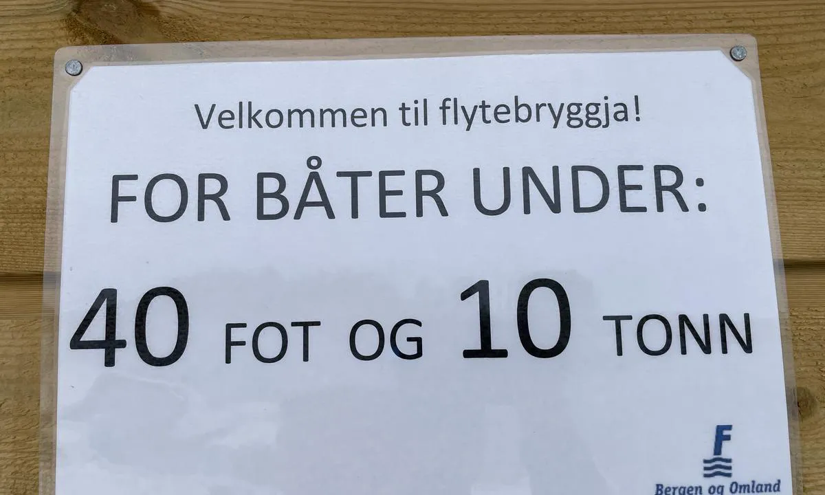
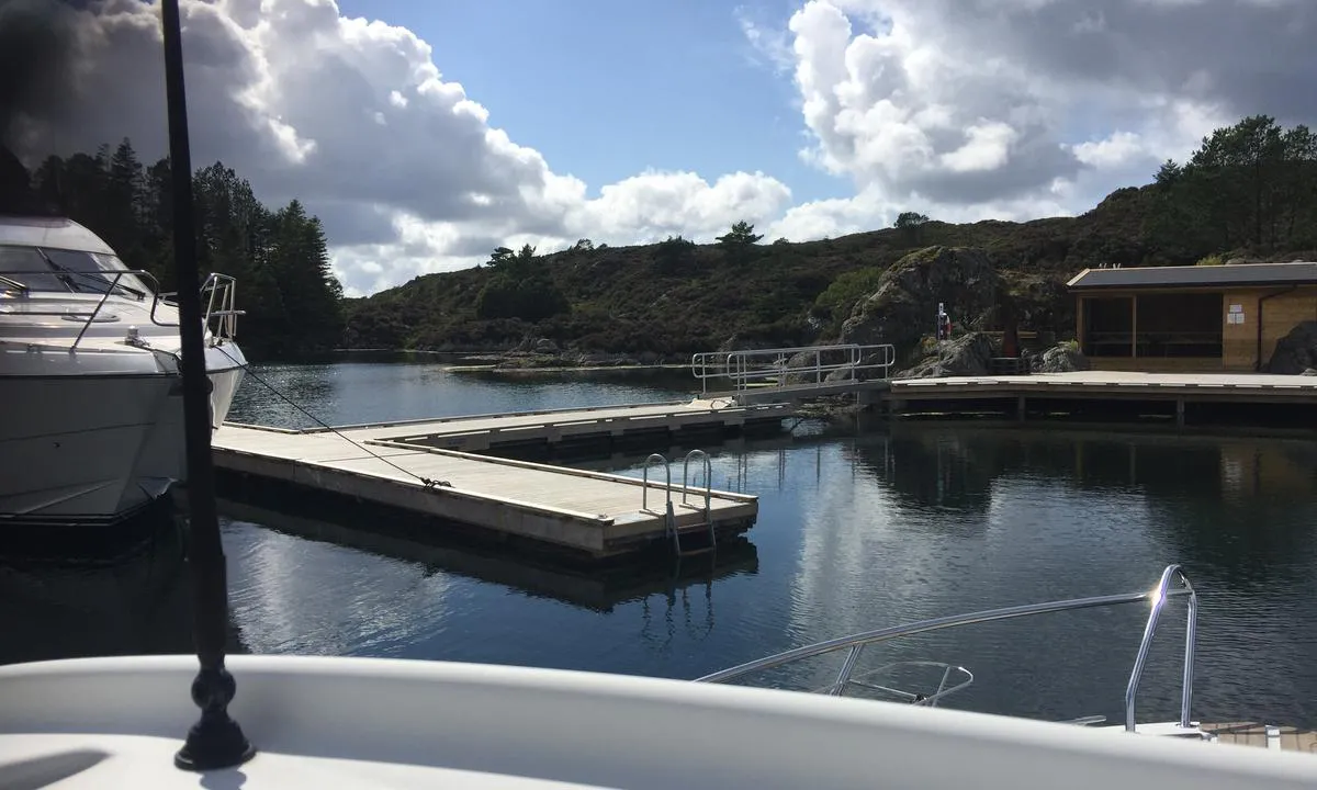
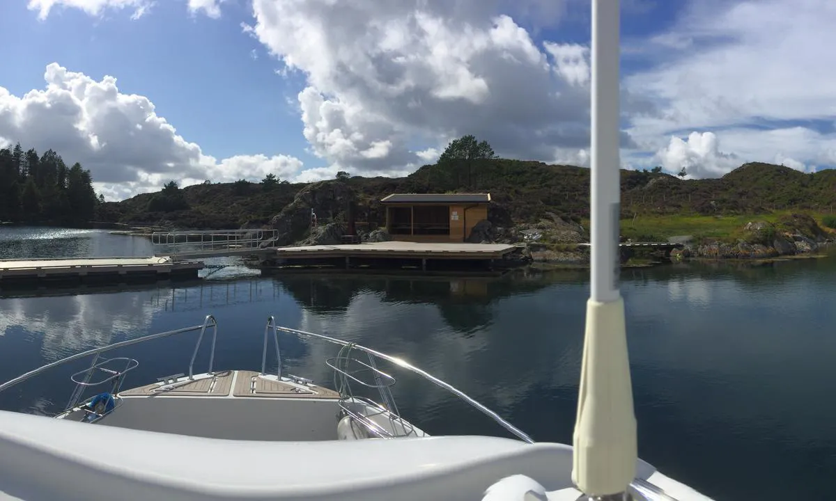
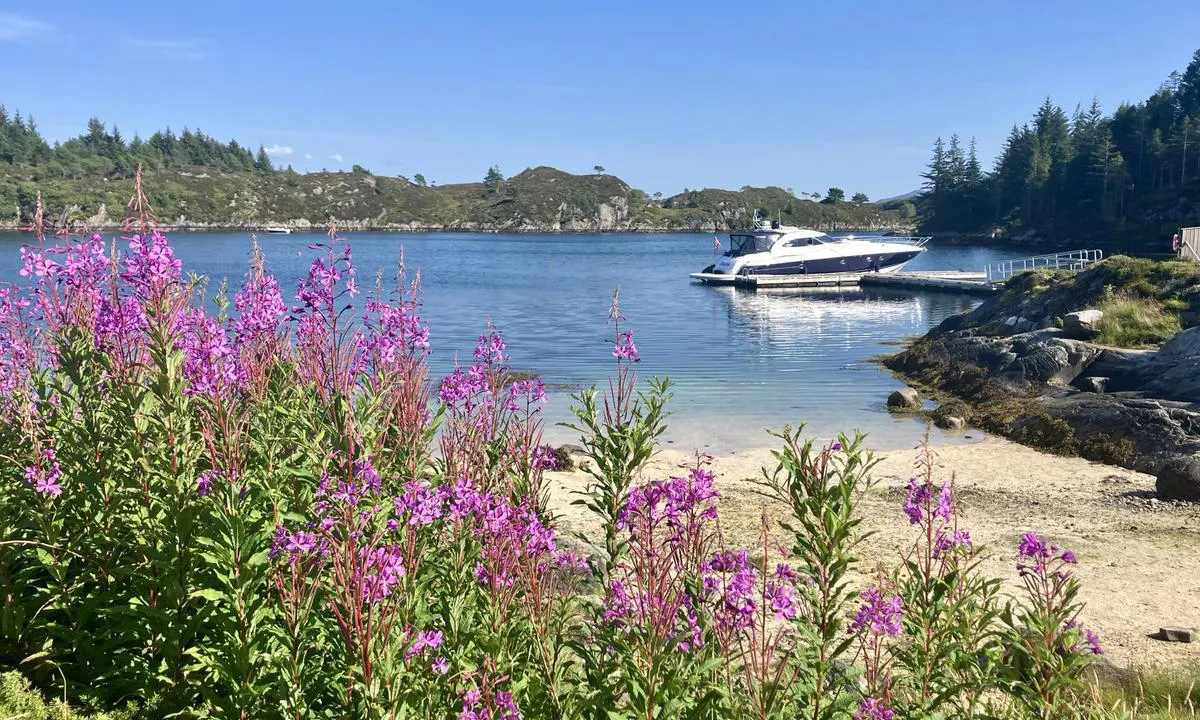
The floating dock is designed for boats up to a maximum of 39 feet / maximum 10 tons.
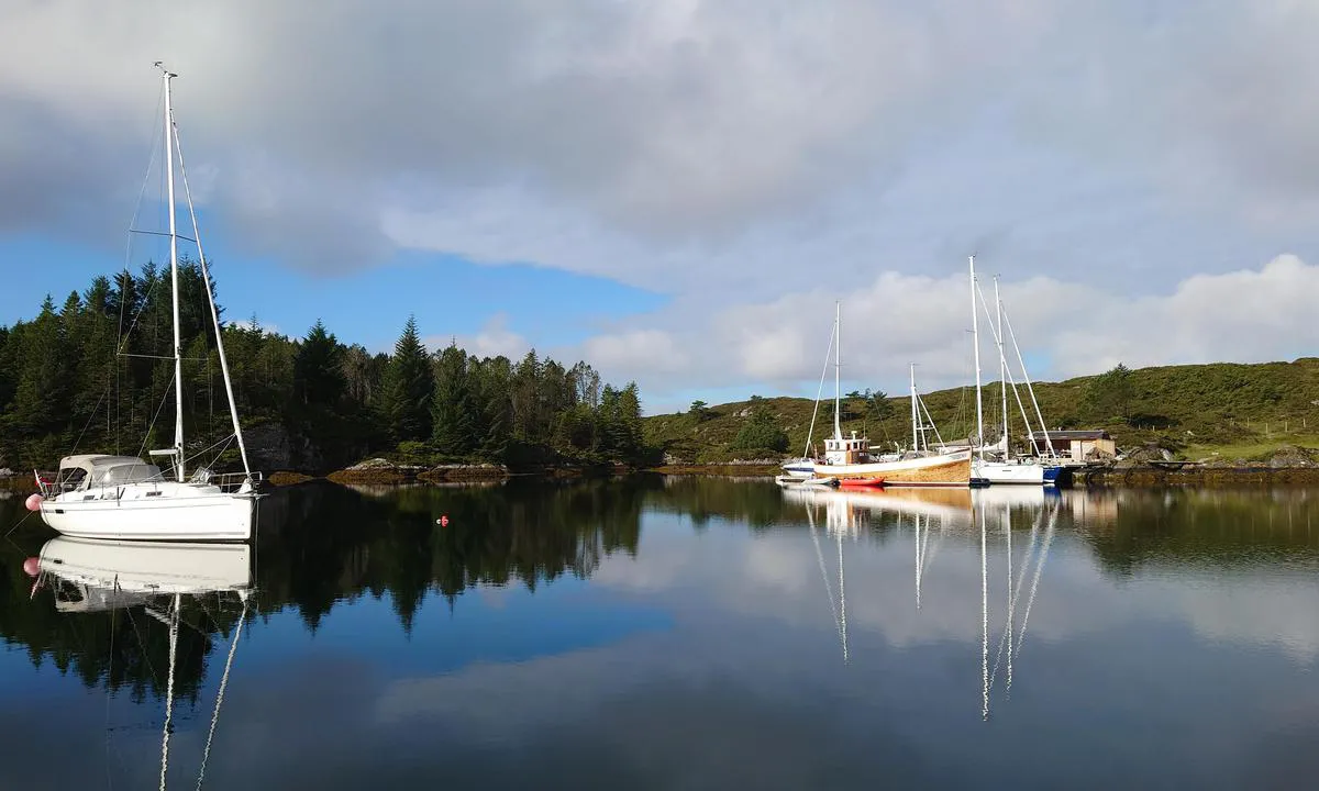
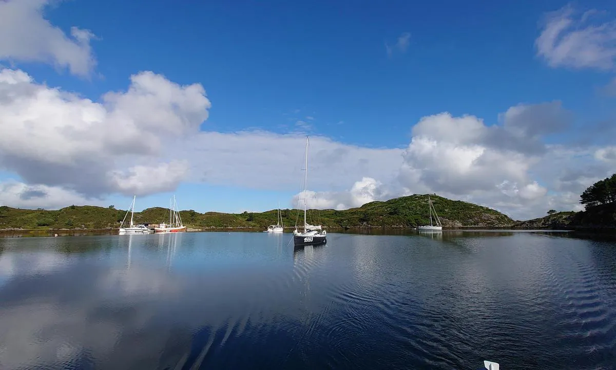
Good holding ground for anchoring throughout the bay.
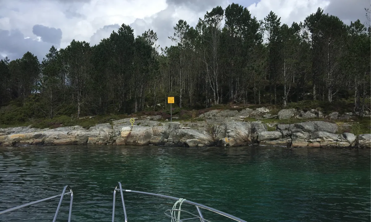
Several mooring bolts mounted on the rock faces (painted pink for visibility) in spring 2024.
[translated from Norwegian with AI]

1 x helpful | written on 4. Aug 2024 | updated_on 4. Aug 2024
Per Garen says:
says:
area


maritime qualities


description
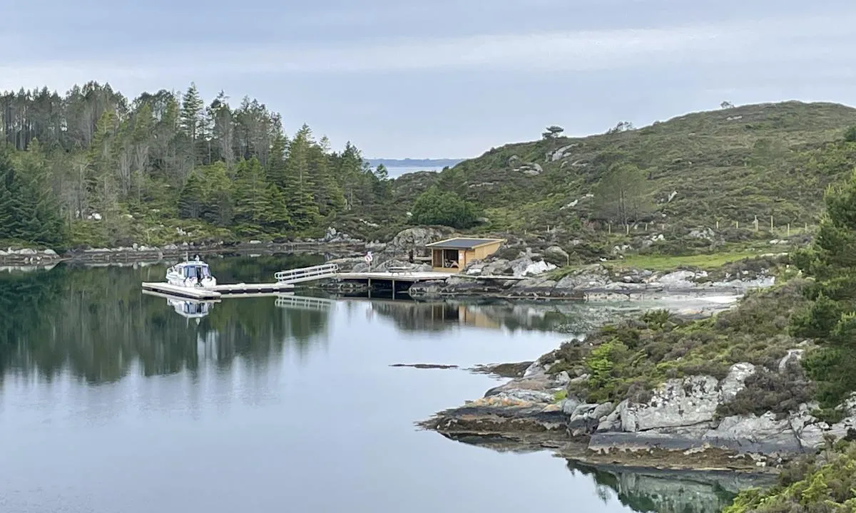
Great place, here you can dock at the quay or anchor. Sheltered and nice, as far from civilization as you can get. No shop, cars, etc., only sheep.
[translated from Norwegian with AI]

1 x helpful | written on 21. Jul 2024
Per Garen says:
says:
area


maritime qualities


description
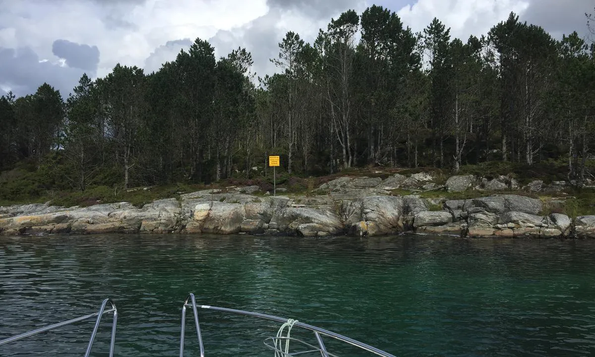
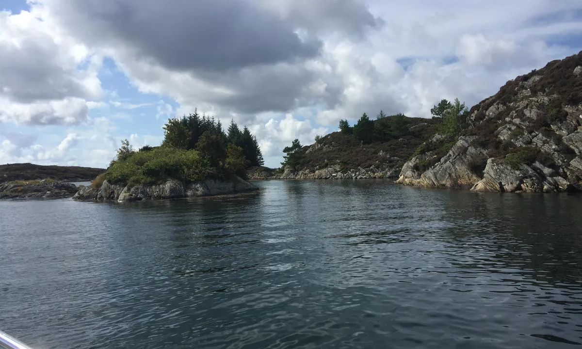
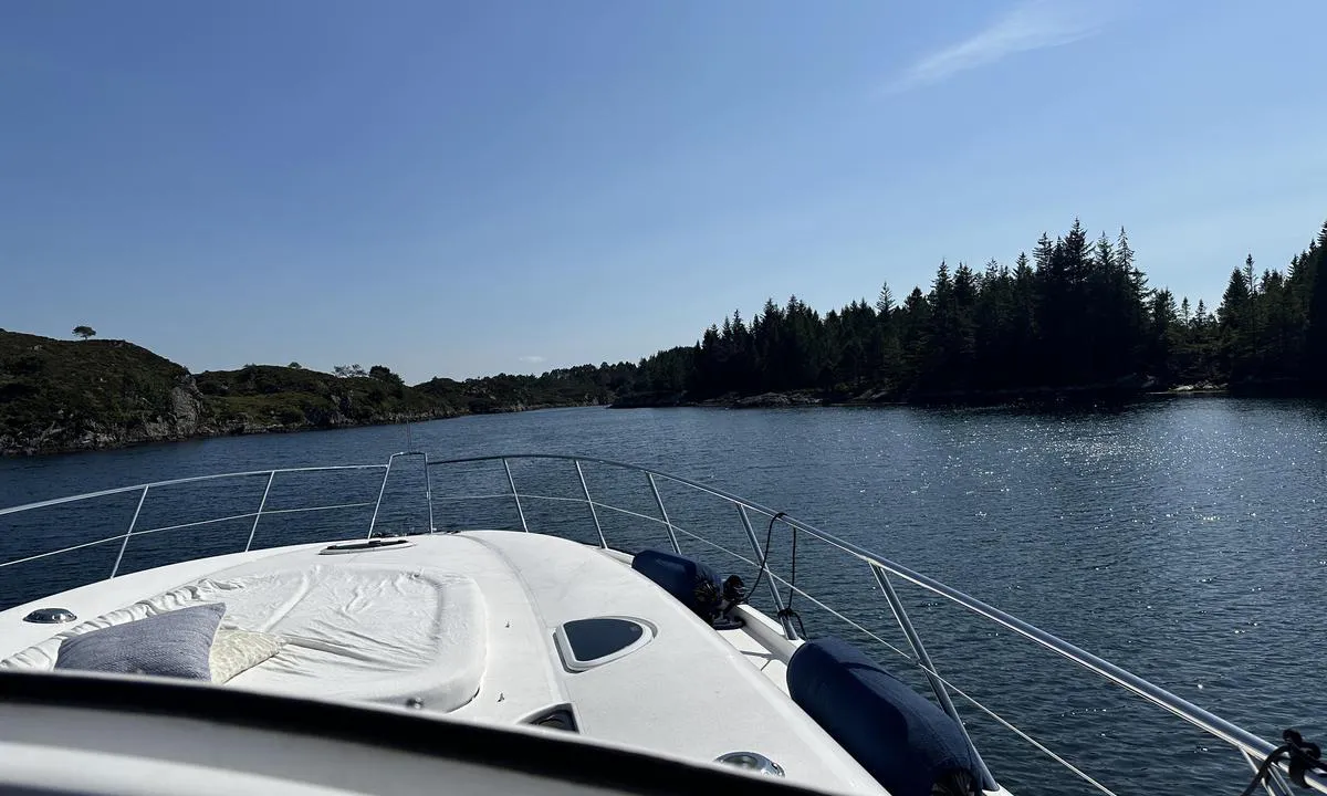
Great place, no cars or buildings of any kind. A few sheep, nothing more. Be careful to place the boat on the correct course when entering/leaving.
There are two buoys, whether they are for mooring is uncertain.
[translated from Norwegian with AI]

1 x helpful | written on 20. Jul 2024
MarLei
 says:
says:
area


maritime qualities


description
Mooring at quay: max 39 feet/10 tons.
[translated from Norwegian with AI]

3 x helpful | written on 29. Aug 2023 | updated_on 31. Mar 2024
Suse / SY Ronja
 says:
says:
description
NOTE: The mooring buoy from Bergen and Omland Outdoor Council has been removed.
[translated from Norwegian with AI]

2 x helpful | written on 25. Apr 2023
Anonymous sailor 1110 says:
says:
description
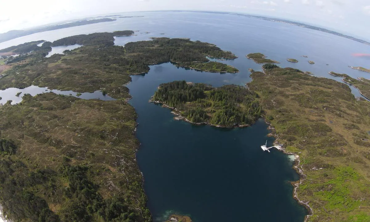
Approach and maritime conditions: The approach has a number of shallow areas and reefs, and one must be vigilant (but it's manageable). A fine and sheltered natural harbour developed by BOF.
Anchoring: Anchoring depth 10m. Floating dock at the innermost part of the bay (popular, often full), a BOF mooring buoy, and ample space to anchor with your own anchor.
[translated from Norwegian with AI]

1 x helpful | written on 13. Jun 2021
Do you know this harbour? It's a huge help to other sailors if you add a short description or review of the harbour.
Map of Uttoskavågen

Wind protection
Protection next night
84 points


Want to know how the wind score works? Then you should read this explanation.
The wind forecasts come from yr.no (Norwegian Meteorological Institute), and was last updated 1 hour and 30 minutes ago (Saturday 14 February 09:27 PM). The next night score shows you the worst hour between 22:00 and 08:00 the next night. We recommend that you check multiple sources for wind forecasts. windy.com is a good website to show larger wind systems.
The safe directions for this harbour was added at 26. Jul 2021. Click here to edit.
Last visits to Uttoskavågen
Sat 05 Apr 2025 |
|
|
Wed 04 Oct 2023 |
|
|
Mon 25 Sep 2023 |
|
|
Fri 22 Sep 2023 |
|
|
Thu 21 Sep 2023 |
|
|
The visits are retrieved from AIS data. You can click to see all visiting ships to Uttoskavågen, as well as statistics about the ships that visits
Add this harbour to a journey
Choose a different date than today
Important: When you check in to a harbour, you add it to a journey on this website. You are not booking a place in the marina.
Contributors
Users that contributed to this page: TurAnders - SY Koia, TESO, Båtenvår NOR11651, Suse / SY Ronja, Eirik Berger, Per Garen, PK Holmetun, Anonymous sailor 1110, Berry Spruijt, Stein Ødegård and HarbourMaps (site admin)
harbourmaps.com is updated by the boating community. When you add information, a review or pictures to this page you are listed here with the other contributors (we list your user-name, which can be your real name or a pseudonym).
Closest harbours to Uttoskavågen
Filter by
Order by
0 harbours
Show more harbours




 S/Y CHILL OUT II [MMSI: 257017840]
 PIMS [MMSI: 227898240]