


MAPA, MMSI: 228235840

Follow the journey

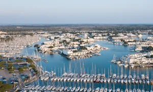
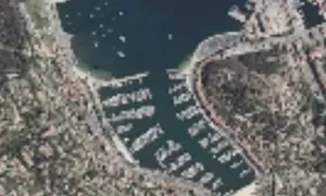
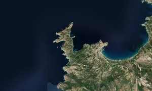
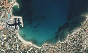

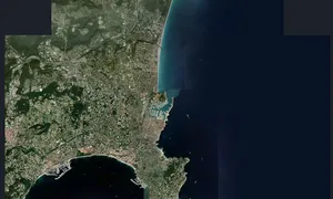
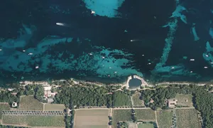
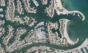
Images of MAPA

Journey statistics
Preferred harbour type
2024
62% marina
natural harbour 38%

Follow the journey
Images of MAPA
Journey statistics
Preferred harbour type
2024
62% marina
natural harbour 38%