


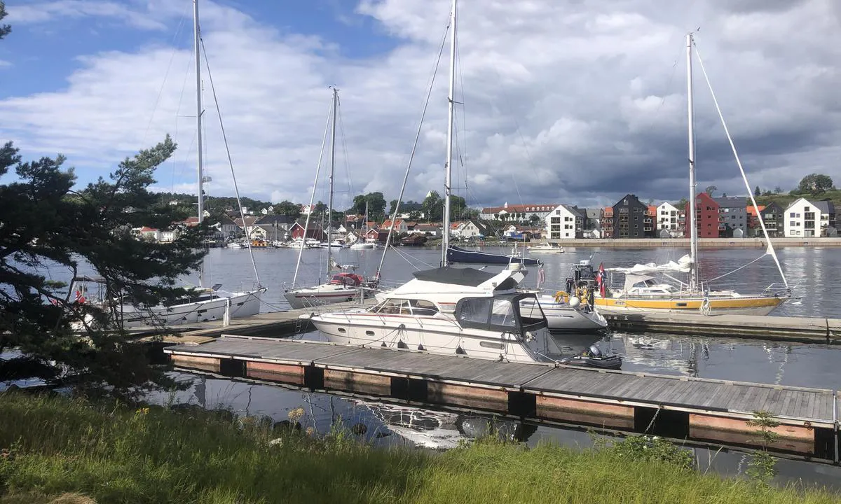
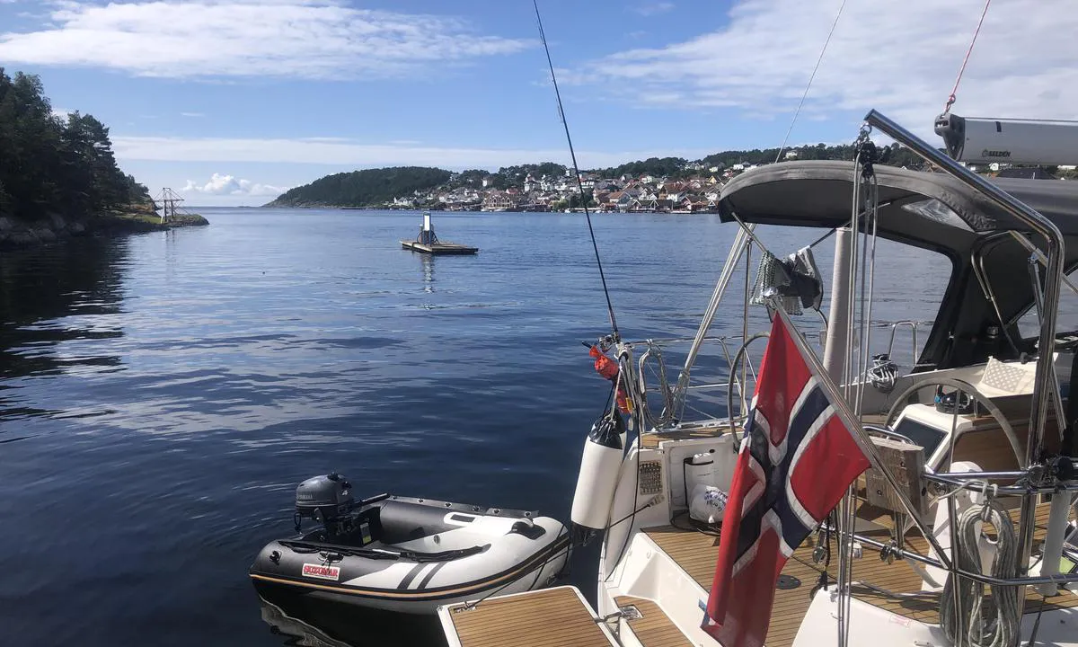
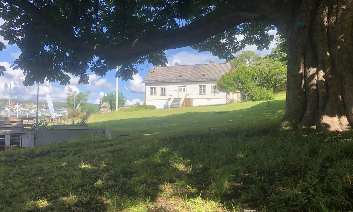
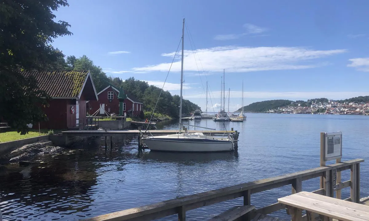
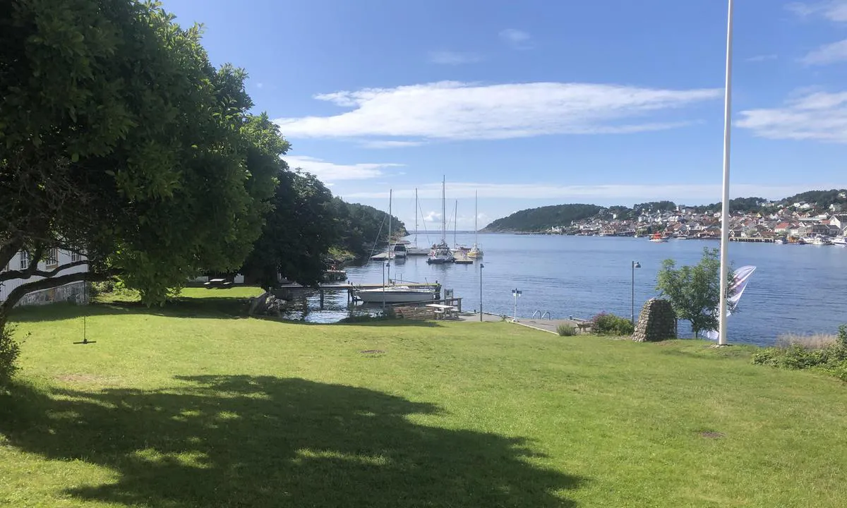
Langesund Gjestehavn, Langøya.
Marina

Region: Norway (3465), Vestfold og Telemark (229), Telemark (68), Bamble (22) and Langesund (2)

Mostra le tue foto e aiuta gli altri a pianificare il loro viaggio verso Langesund Gjestehavn, Langøya. .


Informazioni di contatto
sito web: Add website
telefono: Aggiungi numero di telefono
email: Add email
Descrizioni e recensioni
Hans-Rune Kvernevik dice:
dice:
area


qualità marittime
descrizione
Facile accesso e ormeggio alla banchina galleggiante. Pagamento tramite app GoMarina o automatica a terra. Corrente e acqua sulle banchine. 1 minuto di traghetto per il centro di Langesund. Ristorante a 100 metri dalla banchina per gli ospiti. Dalla tenuta principale parte una navetta che va avanti e indietro per il centro di Langesund tutto il giorno durante la stagione.
[translated from Norwegian with AI]

1 x helpful | written on 23. Jul 2023
Conosci questo porto? È di grande aiuto per gli altri marinai se aggiungi una breve descrizione o una recensione del porto.
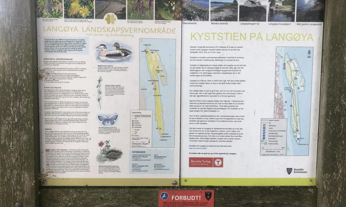
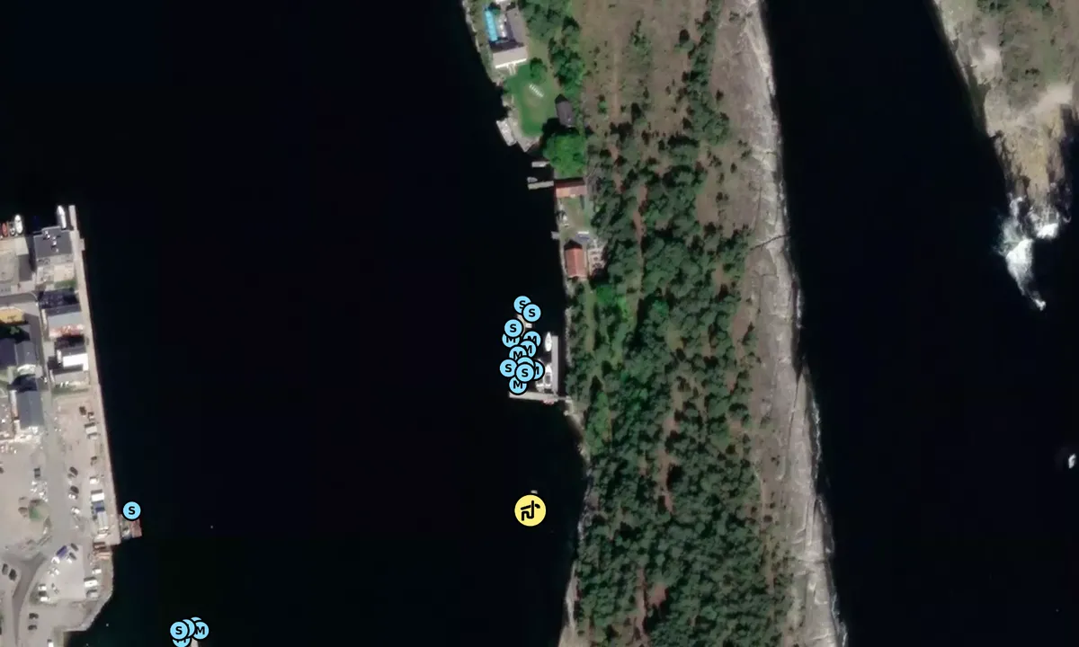
Mappa di Langesund Gjestehavn, Langøya.
Protezione contro il vento
Protezione la prossima notte
89 punti


Vuoi sapere come funziona il punteggio del vento? Allora dovresti leggere questa spiegazione.
Le previsioni del vento provengono da yr.no (Istituto Meteorologico Norvegese), e sono state aggiornate l'ultima volta 1 hour and 50 minutes ago (Giovedì 25 Giugno 00:28). La prossima notte, la valutazione mostra l'ora peggiore tra le 22:00 e le 08:00 della notte successiva. Consigliamo di controllare più fonti per le previsioni del vento.windy.com è un buon sito web per mostrare sistemi di vento più grandi.

Le direzioni del vento sicure per questo porto sono state decise da un algoritmo, basato su quanto elevato è il terreno intorno al porto. È per lo più corretto, ma a volte i dati sottostanti sui livelli di elevazione non sono sufficientemente buoni per prendere decisioni corrette. È di grande aiuto per gli altri se puoi convalidare o regolare le direzioni del vento sicure. You can see the data used by the algorithm to decide the safe wind directions by clicking here.
Ultime visite a Langesund Gjestehavn, Langøya.
Mer 11 Ott 2023 |
|
|
Gio 05 Ott 2023 |
|
|
Gio 28 Set 2023 |
|
|
Gio 21 Set 2023 |
|
|
|
|
 GYPSY QUEEN [MMSI: 257905270]
The visits are retrieved from AIS data. You can click to see all visiting ships to Langesund Gjestehavn, Langøya. , as well as statistics about the ships that visits
Aggiungi questo porto a un viaggio
Scegli una data diversa da oggi
Importante: Quando effettui il check-in in un porto, lo aggiungi a un viaggio su questo sito web. Non stai prenotando un posto nel marina.
Contributori
Utenti che hanno contribuito a questa pagina: Hans-Rune Kvernevik
harbourmaps.com viene aggiornato dalla comunità nautica. Quando aggiungi informazioni, una recensione o immagini a questa pagina, vieni elencato qui con gli altri collaboratori (elenciamo il tuo nome utente, che può essere il tuo vero nome o uno pseudonimo).
Porti più vicini a Langesund Gjestehavn, Langøya.
Filtra per
Ordina per
0 porti
Mostra più porti
