


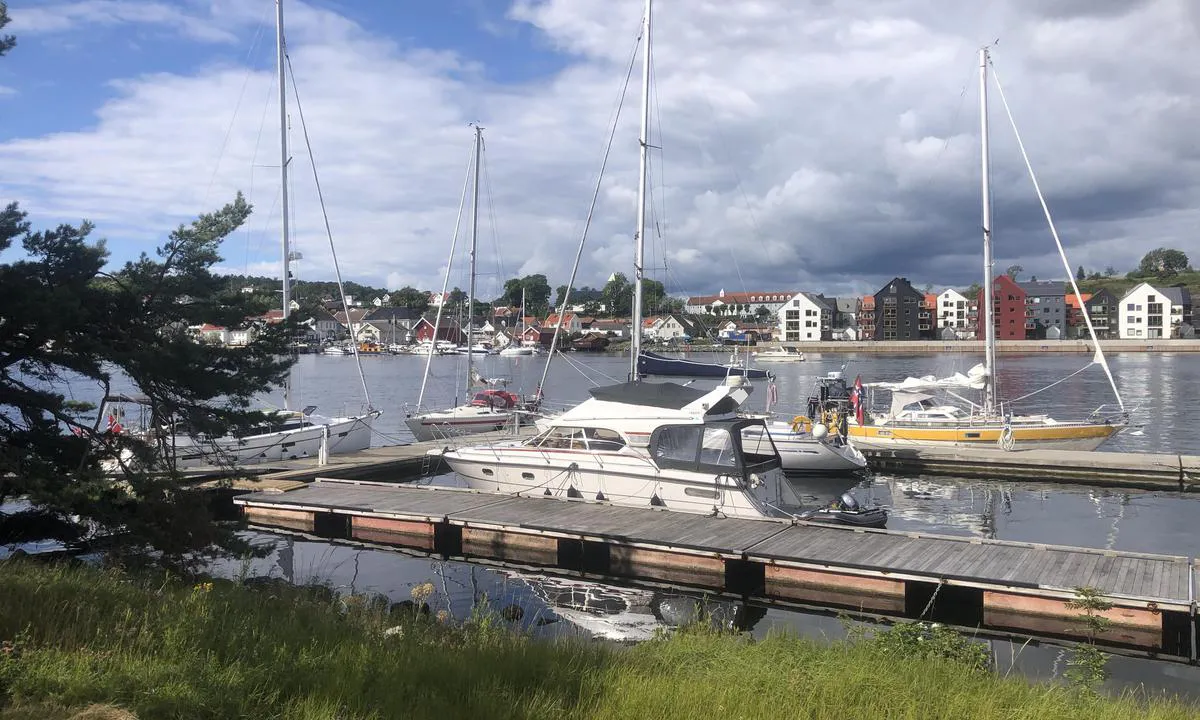
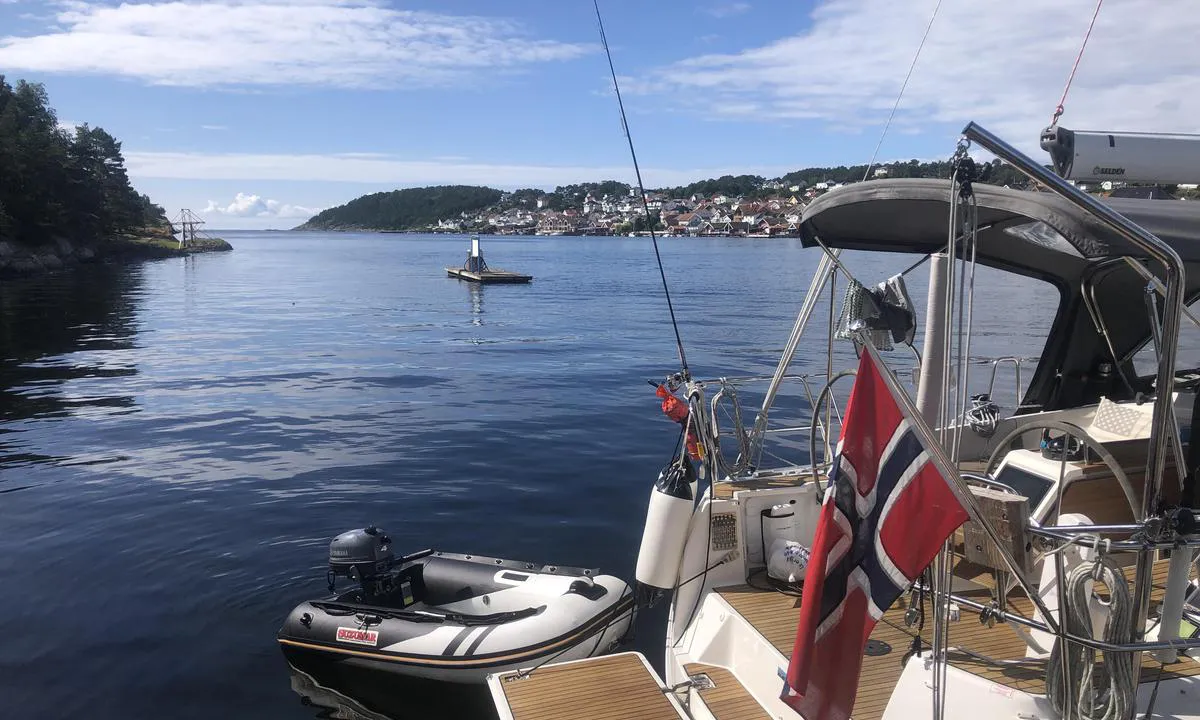
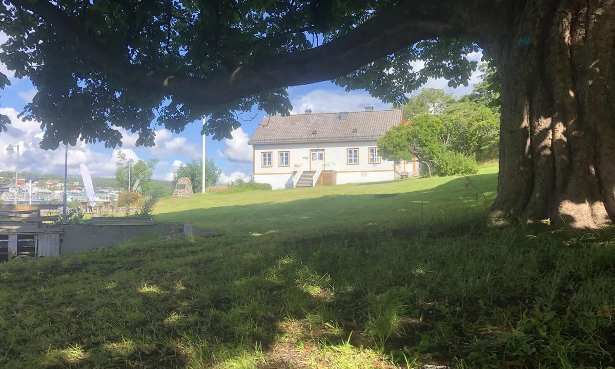
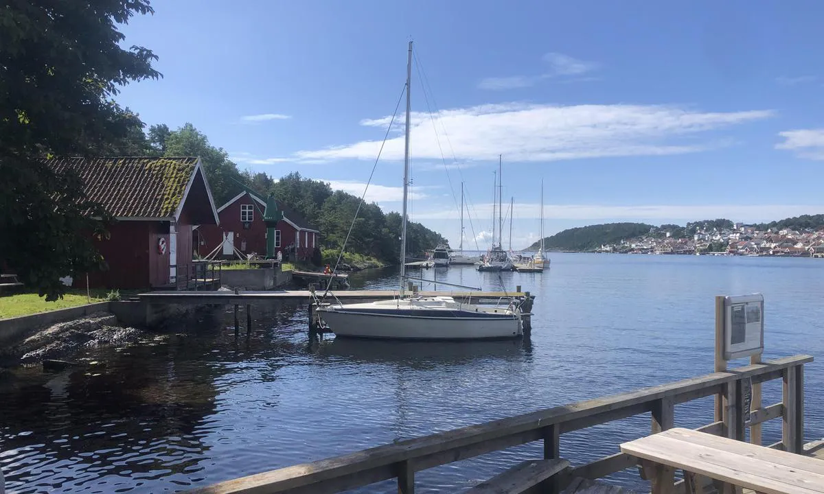
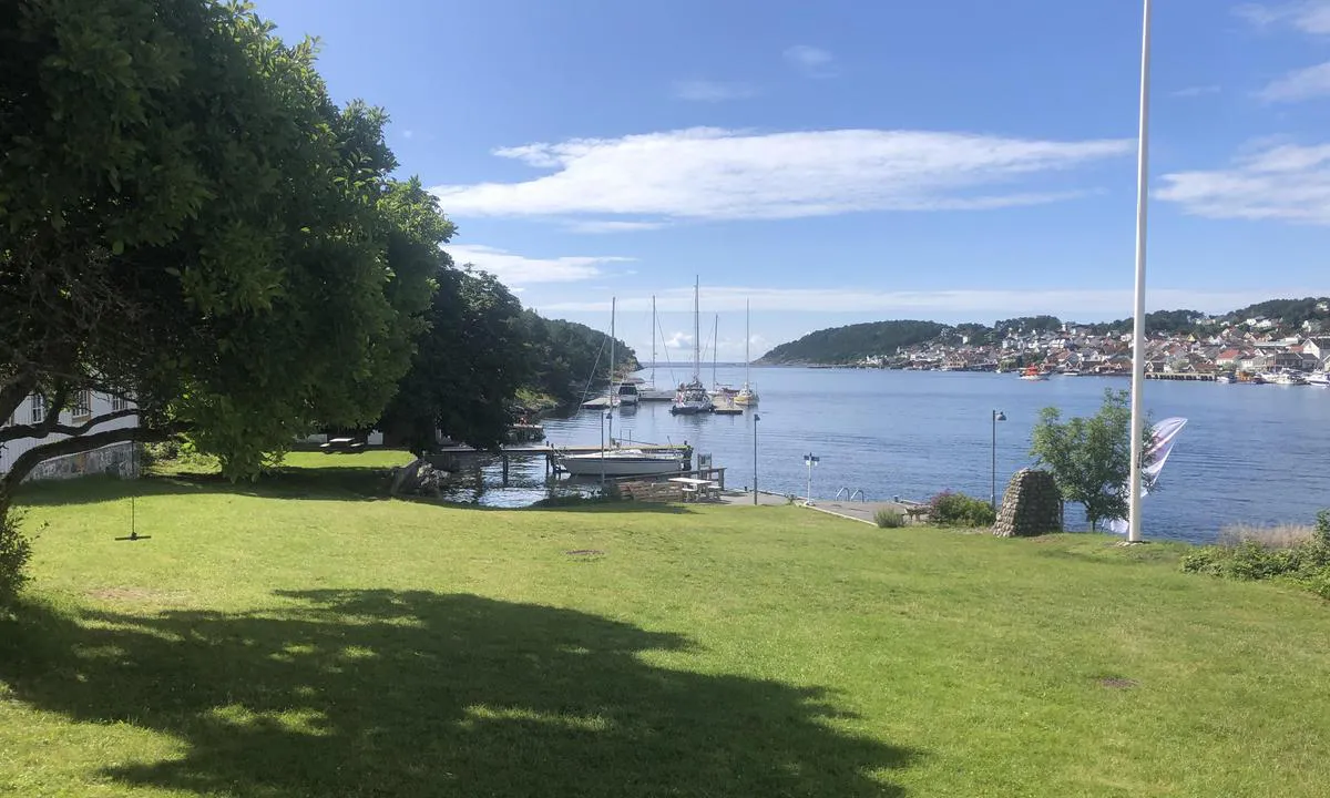
Langesund Gjestehavn, Langøya.
Marina

Region: Norway (3465), Vestfold og Telemark (229), Telemark (68), Bamble (22) and Langesund (2)

Pochwal się swoimi zdjęciami i pomóż innym w planowaniu ich podróży do Langesund Gjestehavn, Langøya. .


Informacje kontaktowe
strona internetowa: Add website
telefon: Dodaj numer telefonu
e-mail: Add email
Opisy i recenzje
Hans-Rune Kvernevik mówi:
mówi:
obszar


morskie cechy
opis
Łatwy dostęp i cumowanie do pływającego pomostu. Opłata przez aplikację GoMarina lub automat na lądzie. Prąd i woda na pomostach. 1 minuta rejsu pontonem do centrum Langesund. Restauracja działa w głównym budynku 100 metrów spacerem od kei gościnnej. Z głównego budynku kursuje przez cały dzień w sezonie łódź transportowa do centrum Langesund.
[translated from Norwegian with AI]

1 x helpful | written on 23. Jul 2023
Czy znasz ten port? To ogromna pomoc dla innych żeglarzy, jeśli dodasz krótką opis lub recenzję tego portu.
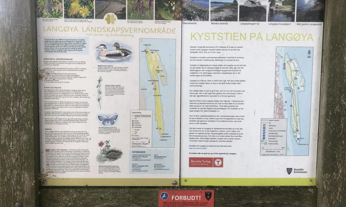
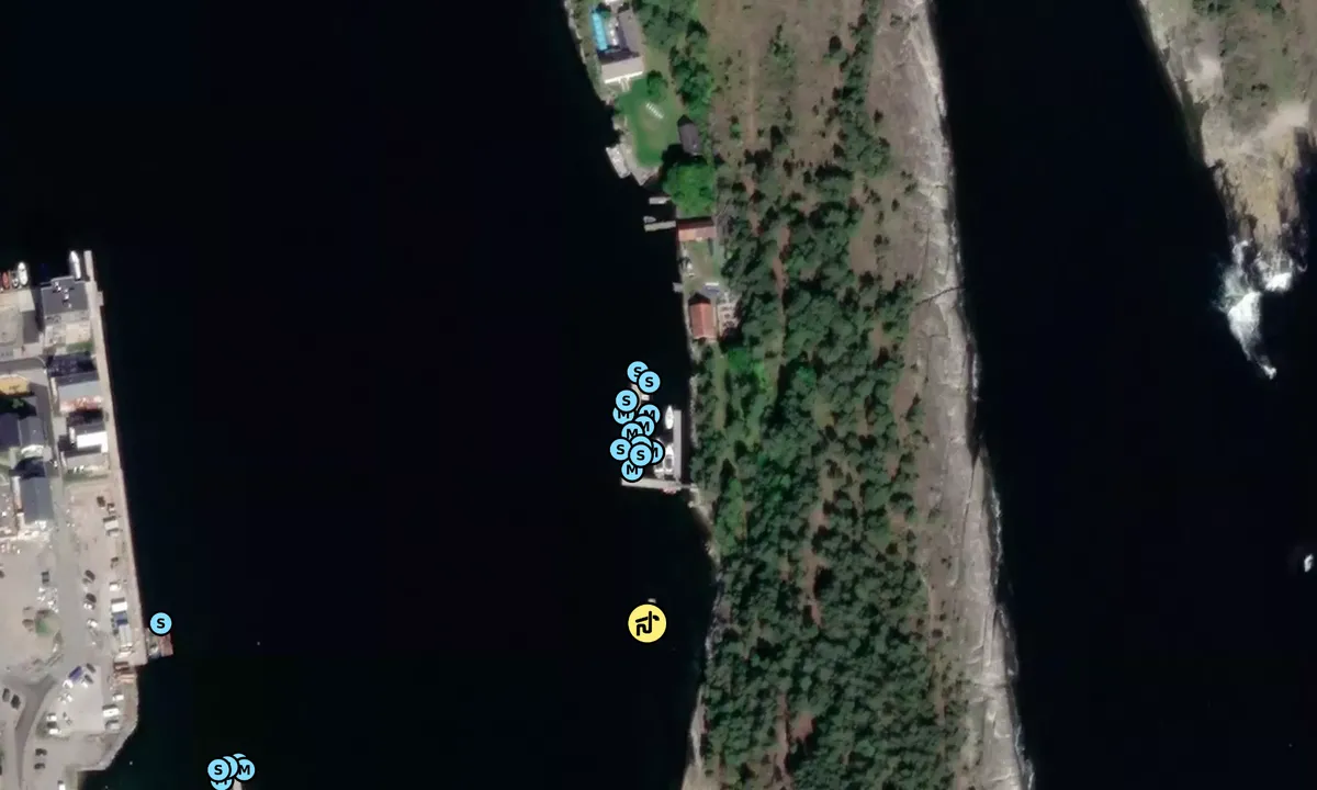
Mapa Langesund Gjestehavn, Langøya.
Aby korzystać z map, musisz się zalogować lub utworzyć konto użytkownika
Ochrona przed wiatrem
Ochrona następnej nocy
88 punkty


Chcesz wiedzieć, jak działa wskaźnik wiatru? W takim razie powinieneś przeczytać to wyjaśnienie.
Prognozy wiatru pochodzą z yr.no (Norweski Instytut Meteorologiczny), i zostały ostatnio zaktualizowane 1 hour and 9 minutes ago (Czwartek 25 Czerwiec 04:28). Następna nocna ocena pokazuje najgorszą godzinę między 22:00 a 08:00 następnej nocy. Zalecamy sprawdzenie kilku źródeł prognoz wiatru.windy.com jest dobrą stroną do pokazywania większych systemów wiatrowych.

Bezpieczne kierunki wiatru dla tego portu zostały określone przez algorytm, na podstawie wysokości terenu wokół portu. Jest to zazwyczaj poprawne, ale czasami dane o poziomach wysokości są niewystarczające, aby podejmować poprawne decyzje. Jest to wielka pomoc dla innych, jeśli możesz. sprawdź lub dostosuj bezpieczne kierunki wiatru. You can see the data used by the algorithm to decide the safe wind directions by clicking here.
Ostatnie wizyty w Langesund Gjestehavn, Langøya.
Śro 11 Paź 2023 |
|
|
Czw 05 Paź 2023 |
|
|
Czw 28 Wrz 2023 |
|
|
Czw 21 Wrz 2023 |
|
|
|
|
 GYPSY QUEEN [MMSI: 257905270]
The visits are retrieved from AIS data. You can click to see all visiting ships to Langesund Gjestehavn, Langøya. , as well as statistics about the ships that visits
Dodaj ten port do podróży
Wybierz inny dzień niż dzisiaj
Ważne: Kiedy meldować się w porcie, dodajesz go do podróży na tej stronie internetowej. Nie rezerwujesz miejsca w marinie.
Współtwórcy
Użytkownicy, którzy przyczynili się do tej strony: Hans-Rune Kvernevik
harbourmaps.com jest aktualizowana przez społeczność żeglarską. Gdy dodajesz informacje, recenzję lub zdjęcia do tej strony, jesteś wymieniony tutaj wraz z innymi współtwórcami (podajemy Twoją nazwę użytkownika, która może być Twoim prawdziwym imieniem lub pseudonimem).
Najbliższe porty do Langesund Gjestehavn, Langøya.
Filtruj według
Sortuj według
0 porty
Pokaż więcej portów
