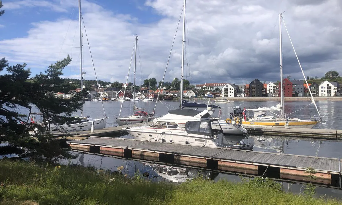
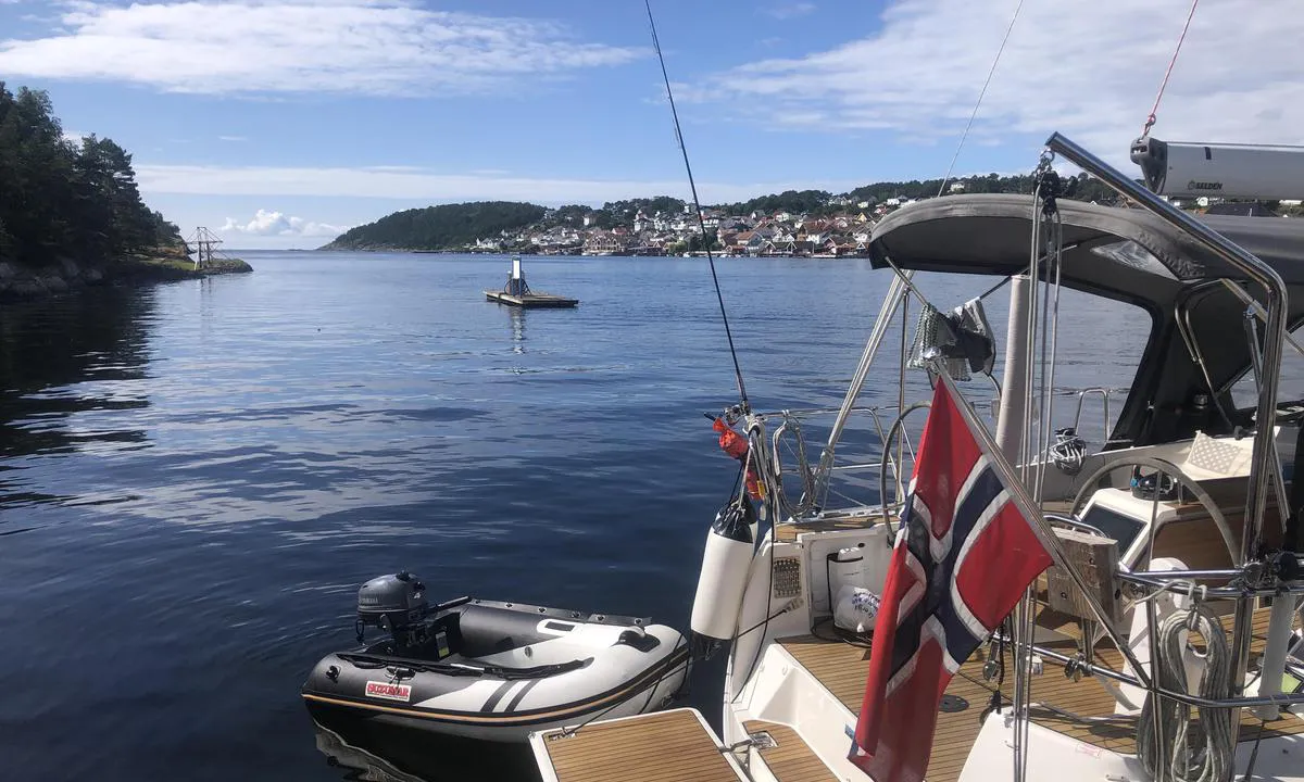
Langesund Gjestehavn, Langøya.

Marina

favoritt

Region: Norway (3219), Vestfold og Telemark (229), Telemark (59), Bamble (20) and Langesund (2)

Langesund Gjestehavn, Langøya.
Langesund Gjestehavn, Langøya. : {"base": "no", "no": "T\u00f8mmeplass for septik p\u00e5 egen flytebrygge, 70-80 meter lenger ut i sundet.", "se": "T\u00f6mningsplats f\u00f6r septiktank p\u00e5 egen flytbrygga, 70-80 meter l\u00e4ngre ut i sundet.", "en": "Pump-out station for sewage on a separate floating dock, 70-80 meters further out in the Sound.", "da": "T\u00f8mningsplads for septik p\u00e5 egen flydebro, 70-80 meter l\u00e6ngere ude i sundet."}
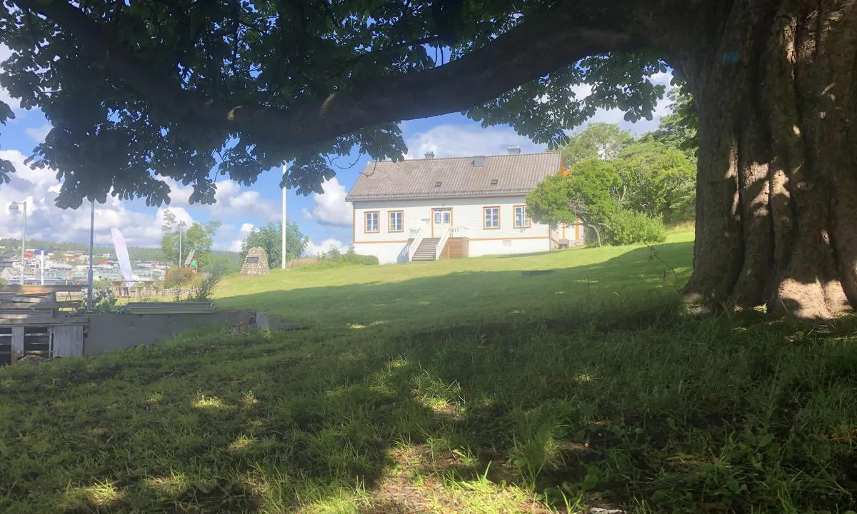
Langesund Gjestehavn, Langøya. : {"base": "no", "no": "Resturang drift p\u00e5 hovedg\u00e5rden i sommersesongen, den ligger 100 meter fra gjestebryggen.", "se": "Restaurangdrift p\u00e5 huvudg\u00e5rden under sommars\u00e4songen, den ligger 100 meter fr\u00e5n g\u00e4stbryggan.", "en": "Restaurant operation at the main estate during the summer season, it is located 100 meters from the guest pier.", "da": "Restaurantdrift p\u00e5 hovedg\u00e5rden i sommers\u00e6sonen, den ligger 100 meter fra g\u00e6stebroen."}
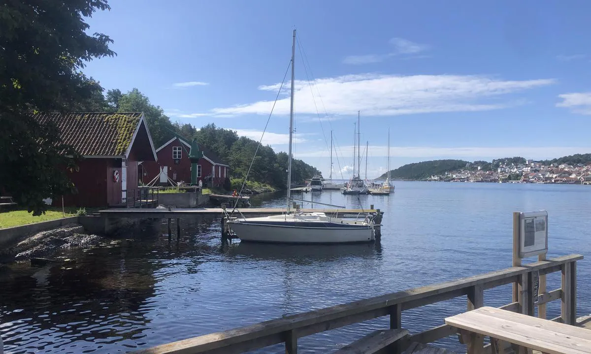
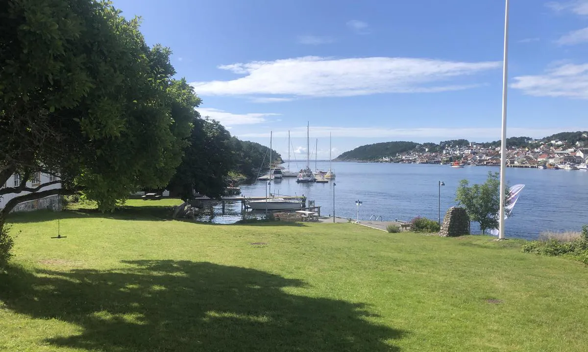
Langesund Gjestehavn, Langøya. : {"base": "no", "no": "Bilde tatt fra kaia ved hovedg\u00e5rden og utover sundet mot gjestebrygga.", "se": "Bild tagen fr\u00e5n kajen vid huvudg\u00e5rden och ut \u00f6ver sundet mot g\u00e4stbryggan.", "en": "Photo taken from the quay by the main estate and out towards the guest pier.", "da": "Billede taget fra kajen ved hovedg\u00e5rden og ud over sundet mod g\u00e6stebroen."}
{"base": "no", "no": "Bilder fra hovedg\u00e5rden og mot gjestebrygge, Langesund sentrum til h\u00f8yre.", "se": "<p>Bilder fr\u00e5n huvudg\u00e5rden och mot g\u00e4stbryggan, Langesunds centrum till h\u00f6ger.</p>", "en": "Pictures from the main farm and towards the guest dock, Langesund center to the right.", "da": "Billeder fra hovedg\u00e5rden og mod g\u00e6stebroen, Langesund centrum til h\u00f8jre."}
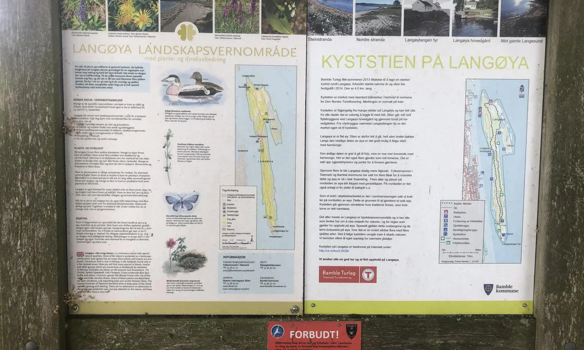
Langesund Gjestehavn, Langøya. : {"base": "no", "no": "Flott tursti rundt \u00f8ya, tar ca. 1 time \u00e5 g\u00e5 runden. Der er ca. 5-6 utedo rundt p\u00e5 \u00f8ya. 1 er rett ved gjestebrygga.", "se": "Fin vandringsled runt \u00f6n, tar ca 1 timme att g\u00e5 runt. Det finns ca 5-6 utedass runt \u00f6n. 1 \u00e4r precis vid g\u00e4stbryggan.", "en": "Great hiking trail around the island, takes about 1 hour to walk the loop. There are about 5-6 outhouses around the island. One is right by the guest pier.", "da": "Flot vandresti rundt om \u00f8en, tager ca. 1 time at g\u00e5 runden. Der er ca. 5-6 udend\u00f8rs toiletter rundt p\u00e5 \u00f8en. 1 er lige ved g\u00e6stebroen."}
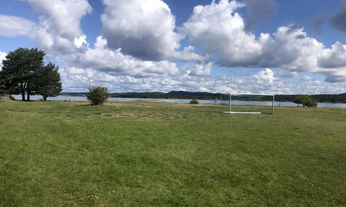
Langesund Gjestehavn, Langøya. : {"base": "no", "no": "Fotballbane og strender p\u00e5 nord\u00f8stsiden av \u00f8ya. Ca 10 min fra gjestebrygga.", "se": "Fotbollsplan och str\u00e4nder p\u00e5 nord\u00f6stra sidan av \u00f6n. Ca 10 min fr\u00e5n g\u00e4stbryggan.", "en": "Soccer field and beaches on the northeast side of the island. Approximately 10 minutes from the guest pier.", "da": "Fodboldbane og strande p\u00e5 nord\u00f8stsiden af \u00f8en. Ca 10 min fra g\u00e6stebroen."}
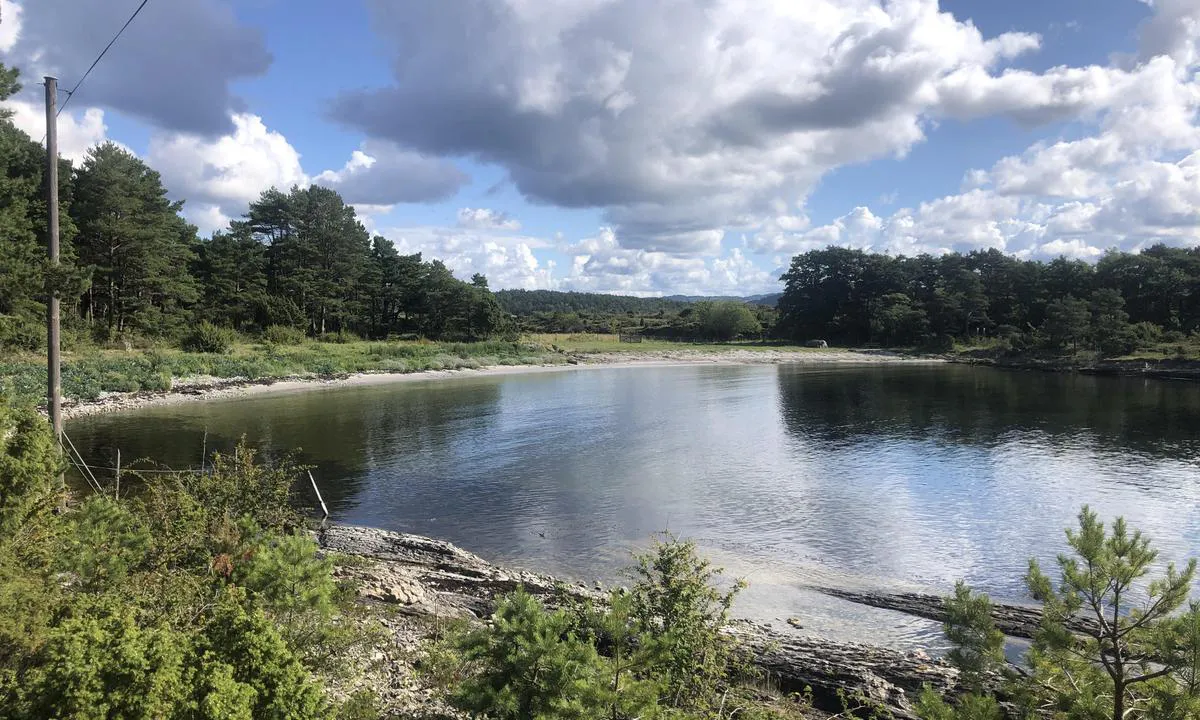
Langesund Gjestehavn, Langøya. : {"base": "no", "no": "Badestrand som vender mot s\u00f8r. Bak tr\u00e6rne til venstre ligger fotballbane og Strand som vender mot nord.", "se": "Badstrand som vetter mot s\u00f6der. Bakom tr\u00e4den till v\u00e4nster ligger fotbollsplan och Strand som vetter mot norr.", "en": "Beach facing south. Behind the trees to the left lies a football field and beach facing north.", "da": "Badestrand som vender mod syd. Bag tr\u00e6erne til venstre ligger fodboldbane og strand som vender mod nord."}
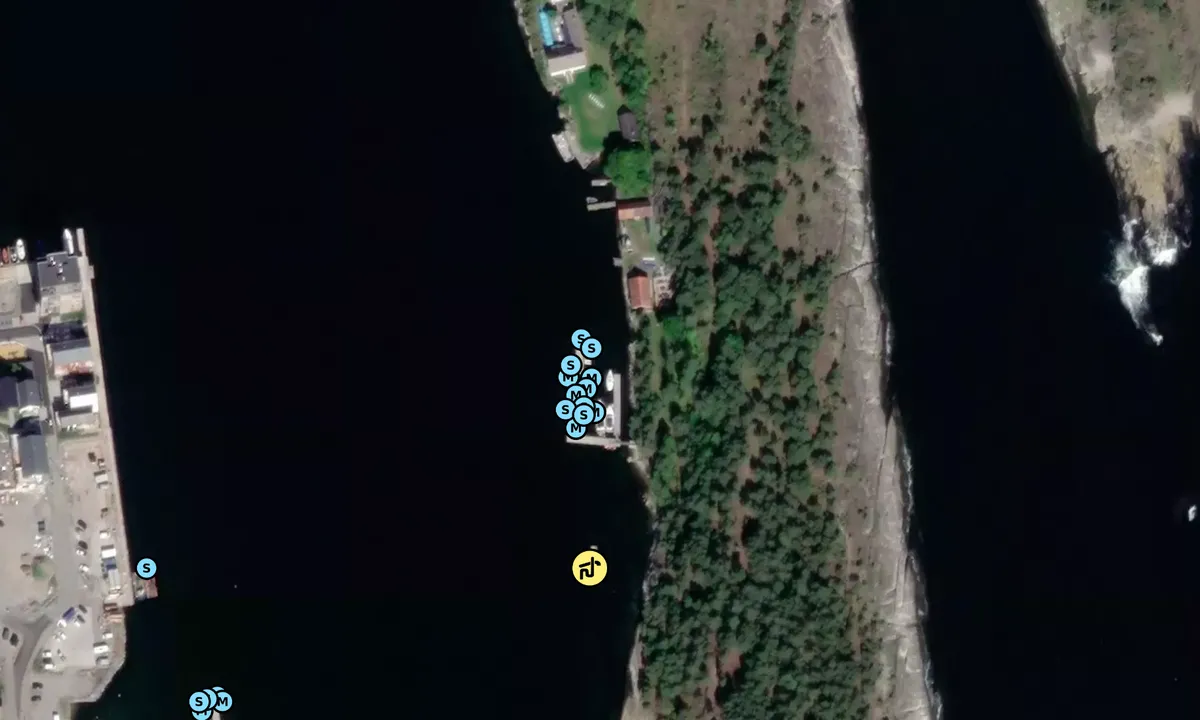
Flyfoto av Langesund Gjestehavn, Langøya.

📸 Upload a photo

Show off your photos and help others plan their journey to Langesund Gjestehavn, Langøya. .harbourmaps.com is created by the sailing community, in a collective effort to make cruising simpler and more fun. Uploading a photo takes less than a minutes and can be done from your phone, tablet or laptop.

📸 Upload a photo

Facilities

Available facilities: Shore power, Fresh water, Sewage disposal.

Updated on 23. Jul 2023. Update facilities.

Mooring

Options for mooring in this harbour: To pier/wharf.

Updated on 23. Jul 2023. Update mooring.

Contact information

website: Add website

phone: Add phone number

email: Add email

Descriptions and reviews

Hans-Rune Kvernevik says:

area

maritime qualities

description

Easy access, and mooring to floating dock. Payment via GoMarina app or machine on land. Power and water on the docks. 1-minute dinghy ride over to Langesund center. Restaurant operating at the main house 100 meters walking distance from the guest dock. From the main house, a shuttle boat runs back and forth to Langesund center all day during the season.

[translated from Norwegian with AI]

1 x helpful | written on 23. Jul 2023

Do you know this harbour? It's a huge help to other sailors if you add a short description or review of the harbour.

📜 Add description

Map of Langesund Gjestehavn, Langøya.

Facilities

Available facilities: Shore power, Fresh water, Sewage disposal.

Updated on 23. Jul 2023. Update facilities.

Mooring

Options for mooring in this harbour: To pier/wharf.

Updated on 23. Jul 2023. Update mooring.

Wind protection

Protection next night

88 points

N E S W --> } } } } } } } } } } } } } } } } } } } } } } } } } } } } } } } } } } } } } } } } } } } } } } } } } } } } } } } } } } } } } } } } } } } } } } } } } } } } } } } } } } } } } } } } } } } } } } } } } } } } } } } } } } } } } } } } } } } } } } } } } } } } } } } } } } } } } } } } } } } } } } } } } } } } } } } } } } } } } } } } } } } } } } } } } } } } } } } } } } } } } } } } } } } } } } } } } } } } } } } } } } } } } } } } } } } } } } } } } } } } } } } } } } } } } } } } } } } } } } } } } } } } } } } } } } } } } } } } } } } } } } } } } } } } } } } } } } } } } } } } } } } } } } } } } } } } } } } } } } } } } } } } } } } } } } } } } } } } } } } } } } } } } } } } } } } } } } } } } } } } } } } } } } } } } } } } } } } } } } } } } } } } } } } } } } } } } } } } } } } } } } } } } } } } } } } } } } } } } } } } } } } } } } } } } } } } } } } } } } } } } } } } } } } } } } } } } } } } } } } } } } } } } } } } } } } } } } } } } } } } } } } } } } } } } } } } } } } } } } } } } } } } } } } } } } } } } } } } } } } } } } } } } } } } } } } } } } } } } } } } } } } } } } } } } } } } } } } } } } } } } } } } } } } } } } } } } } } } } } } } } } } } } } } } } } } } } } } } } } } } } } } } } } } } } } } } } } } } } } } } } } } } } } } } } } } } } } } } } } } } } } } } } } } } } } } } } } } } } } } } } } } } } } } } } } } } } } } } } } } } } } } } } } } } } } } } } } } } } } } } } } } } } } } } } } } } } } } } } } } } } } } } } } } } } } } } } } } } } } } } } } } } } } } } } } } } } } } } } } } } } } } } } } } } } } } } } } } } } } } } } } } } } } } } } } } } } } } } } } } } } } } } } } } } } } } } } } } } } } } } } } } } } } } } } } } } } } } } } } } } } } } } } } } } } } } } } } } } } } } } } } } } } } } } } } } } } } } } } } } } } } } } } } } } } } } } } } } } } } } } } } } } } } } } } } } } } } } } } } } } } } } } } } } } } } } } } } } } } } } } } } } } } } } } } } } } } } } } } } } } } } } } } } } } } } } } } } } } } } } } } } } } } } } } } } } } } } } } } } } } Next night 6:00 12:00 Lør 14 Sep 18:00 0:00 6:00 12:00 Søn 15 Sep 5m/s 0m/s

Want to know how the wind score works? Then you should read this explanation.

The wind forecasts come from yr.no (Norwegian Meteorological Institute), and was last updated 2 hours and 2 minutes ago (Saturday 14 September 12:27 AM). The next night score shows you the worst hour between 22:00 and 08:00 the next night. We recommend that you check multiple sources for wind forecasts. windy.com is a good website to show larger wind systems.

The safe wind directions for this harbour has been decided by an algorithm, based on how elevated the land around the harbour is. It's mostly correct, but sometimes the underlying data about elevation levels is not good enough to make correct decisions. It's a great help to other if you can validate or adjust the safe wind directions. You can see the data used by the algorithm to decide the safe wind directions by clicking here.

Last visits to Langesund Gjestehavn, Langøya.

Wed 11 Oct 2023

GYPSY QUEEN [MMSI: 257905270]

Thu 05 Oct 2023

IFARE [MMSI: 257052740]

Thu 28 Sep 2023

ALLIMAK [MMSI: 257015370]

Thu 21 Sep 2023

GYPSY QUEEN [MMSI: 257905270]

SKOMVAER [MMSI: 257006160]

The visits are retrieved from AIS data. You can click to see all visiting ships to Langesund Gjestehavn, Langøya. , as well as statistics about the ships that visits

Add this harbour to a journey

Check in now

Choose a different date than today

Important: When you check in to a harbour, you add it to a journey on this website. You are not booking a place in the marina.

Contributors

Users that contributed to this page: Hans-Rune Kvernevik

harbourmaps.com is updated by the boating community. When you add information, a review or pictures to this page you are listed here with the other contributors (we list your user-name, which can be your real name or a pseudonym).

Closest harbours to Langesund Gjestehavn, Langøya.
Filter by

Natural harbour
Marina
Safe wind next night

Order by

ABC
Popularity
Wind score next night

0 harbours
Show more harbours