


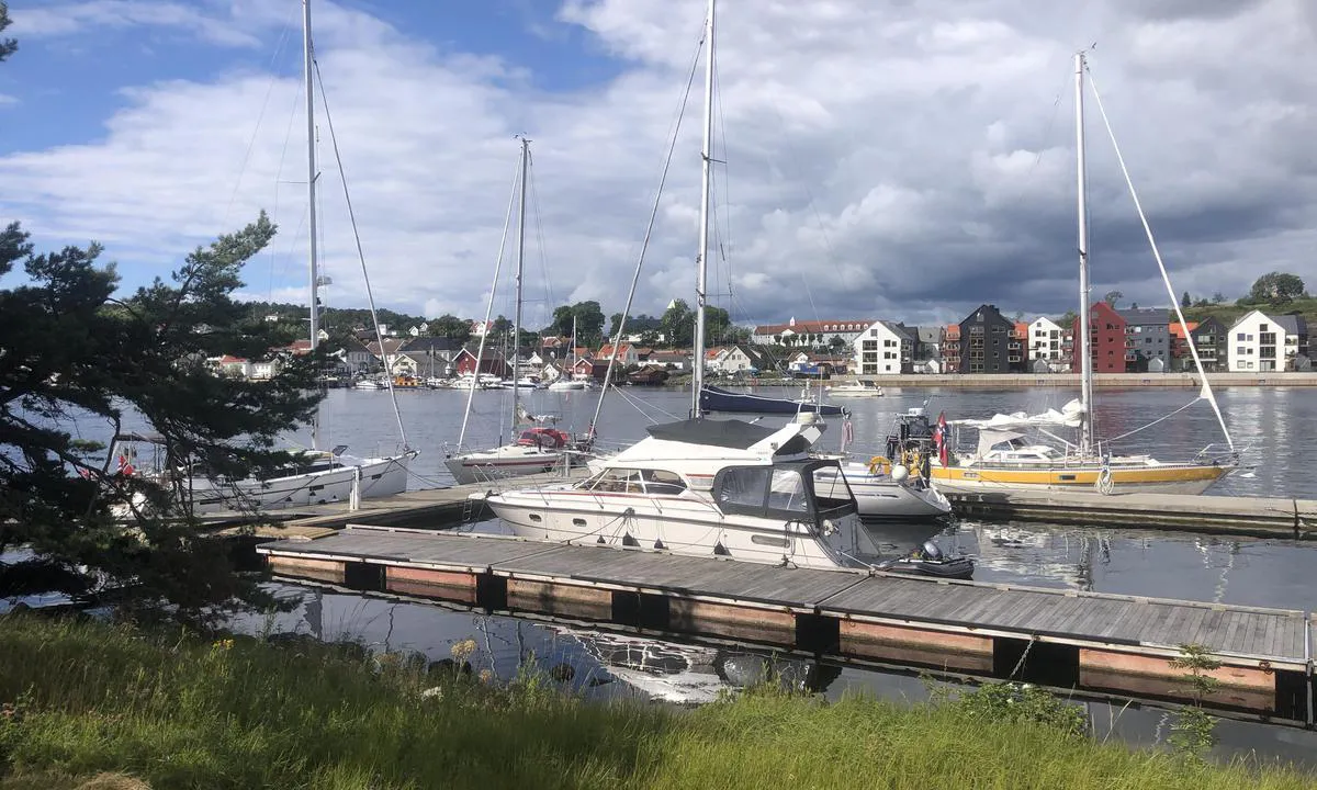
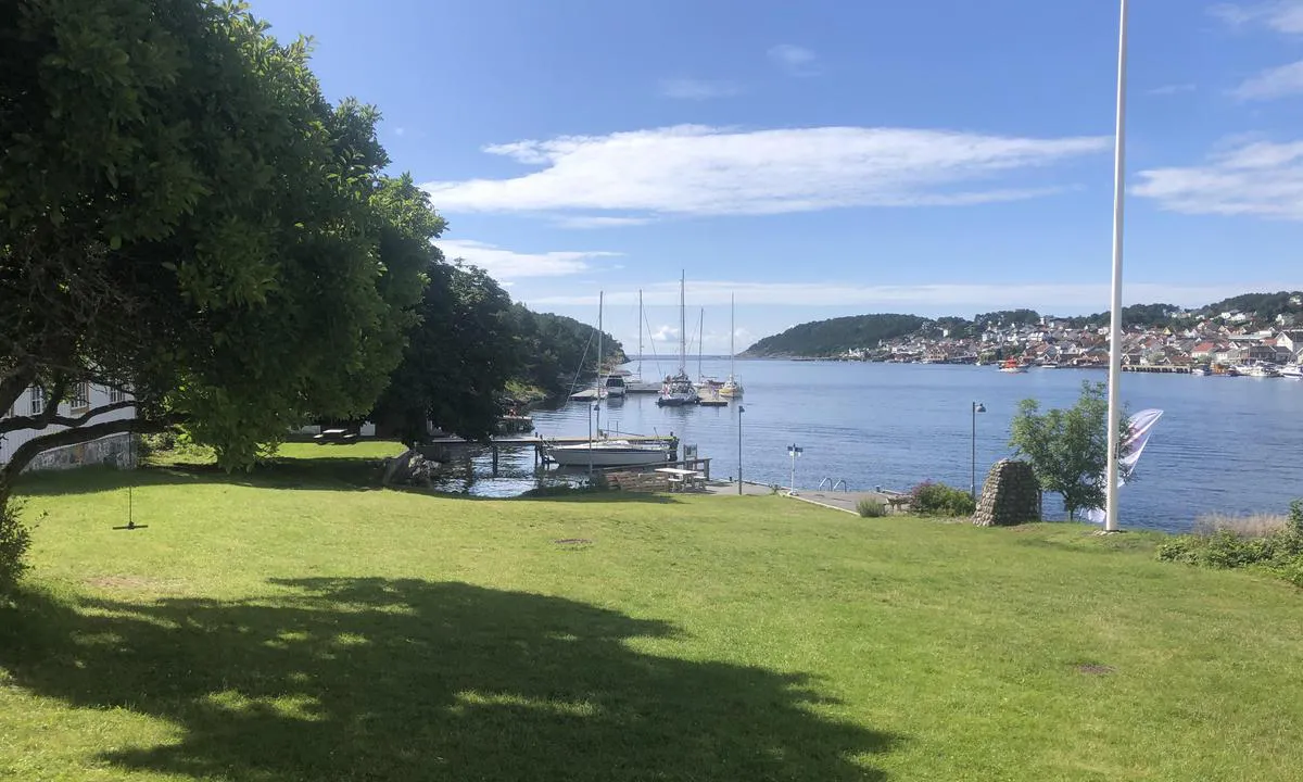
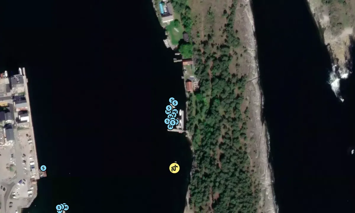
Langesund Gjestehavn, Langøya.
Marina

Region: Norway (3471), Vestfold og Telemark (229), Telemark (68), Bamble (22) and Langesund (2)


Información de contacto
sitio web: Add website
teléfono: Agregar número de teléfono
correo electrónico: Add email
Descripciones y reseñas
Hans-Rune Kvernevik dice:
dice:
área


cualidades marítimas
descripción
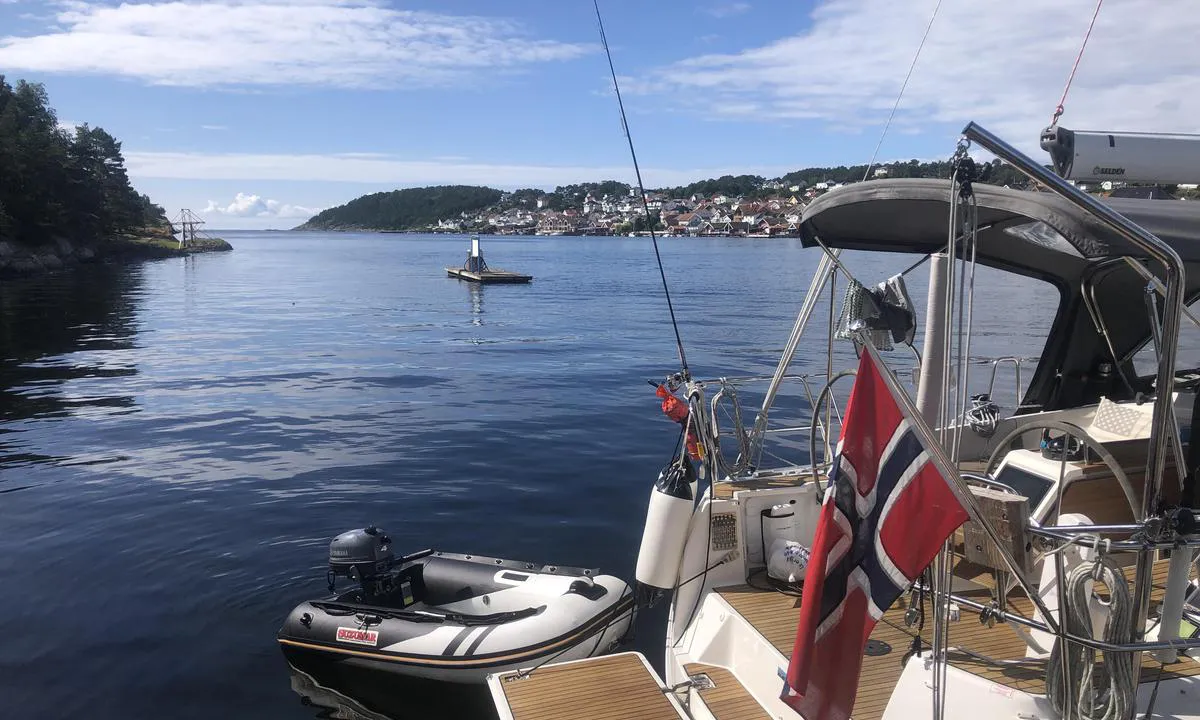
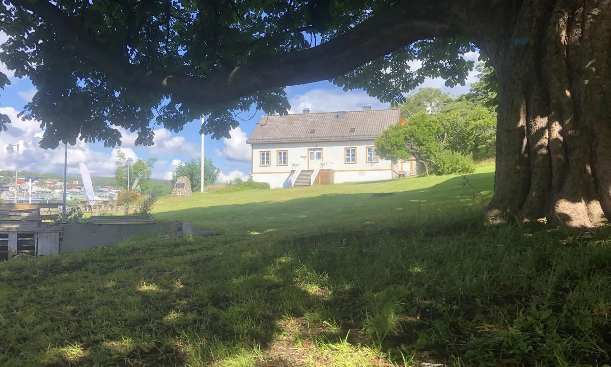
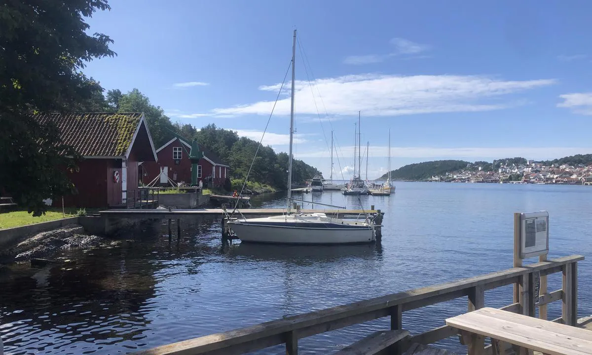
Acceso fácil y amarre en el muelle flotante. Pago a través de la aplicación GoMarina o en la máquina automática en tierra. Electricidad y agua en los muelles. 1 minuto en bote auxiliar hasta el centro de Langesund. Restaurante en la casa principal a 100 metros de caminata desde el muelle de invitados. Desde la casa principal hay un bote de traslado que va y viene al centro de Langesund todo el día durante la temporada.
[translated from Norwegian with AI]

1 x helpful | written on 23. Jul 2023
¿Conoces este puerto? Es de gran ayuda para otros marineros si añades una breve descripción o reseña del puerto.
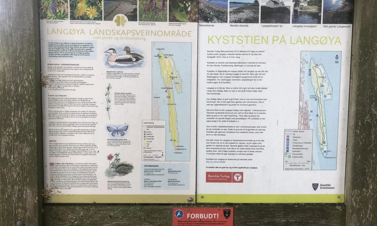
Mapa de Langesund Gjestehavn, Langøya.
Protección contra el viento
Protección próxima noche
81 puntos


¿Quieres saber cómo funciona la puntuación del viento? Entonces deberías leer esta explicación.
Las previsiones del viento provienen de yr.no (Instituto Meteorológico Noruego), y se actualizaron por última vez 1 hour and 34 minutes ago (Lunes 29 Junio 01:28). La siguiente puntuación nocturna te muestra la peor hora entre las 22:00 y las 08:00 de la siguiente noche. Recomendamos que consultes varias fuentes para los pronósticos de viento.windy.com es un buen sitio web para mostrar sistemas eólicos más grandes.

Las direcciones de viento seguras para este puerto han sido decididas por un algoritmo, basado en la elevación del terreno alrededor del puerto. Es mayormente correcto, pero a veces los datos subyacentes sobre los niveles de elevación no son lo suficientemente buenos para tomar decisiones correctas. Es de gran ayuda para otros si puedes validar o ajustar las direcciones del viento seguro. You can see the data used by the algorithm to decide the safe wind directions by clicking here.
Últimas visitas a Langesund Gjestehavn, Langøya.
Mié 11 Oct 2023 |
|
|
Jue 05 Oct 2023 |
|
|
Jue 28 Sep 2023 |
|
|
Jue 21 Sep 2023 |
|
|
|
|
 GYPSY QUEEN [MMSI: 257905270]
The visits are retrieved from AIS data. You can click to see all visiting ships to Langesund Gjestehavn, Langøya. , as well as statistics about the ships that visits
Añadir este puerto a un viaje
Elija una fecha diferente a la de hoy
Importante: Cuando inicias sesión en un puerto, lo agregas a un viaje en este sitio web. No estás reservando un lugar en la marina.
Colaboradores
Usuarios que contribuyeron a esta página: Hans-Rune Kvernevik
harbourmaps.com es actualizado por la comunidad de navegantes. Cuando agregas información, una revisión o fotos a esta página, te enumeramos aquí con los otros contribuyentes (listamos tu nombre de usuario, que puede ser tu nombre real o un seudónimo).
Puertos más cercanos a Langesund Gjestehavn, Langøya.
Filtrar por
Ordenar por
0 puertos
Mostrar más puertos
