Knutholmen - Kalvåg
Marina

Region: Norway (3434), Vestland (602), Sogn og Fjordane (216), Bremanger (19) and Kalvåg (6)

Descriptions and reviews
Aquas Calientes says:
says:
area


maritime qualities


description
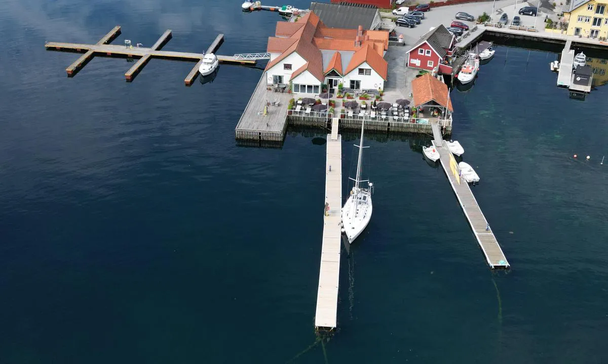
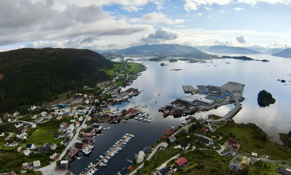
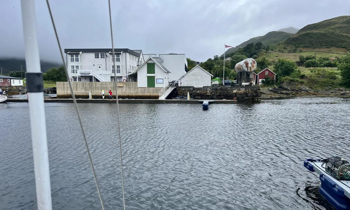
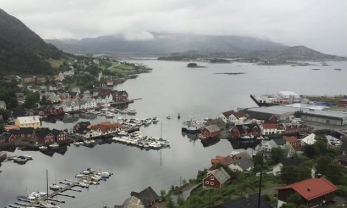
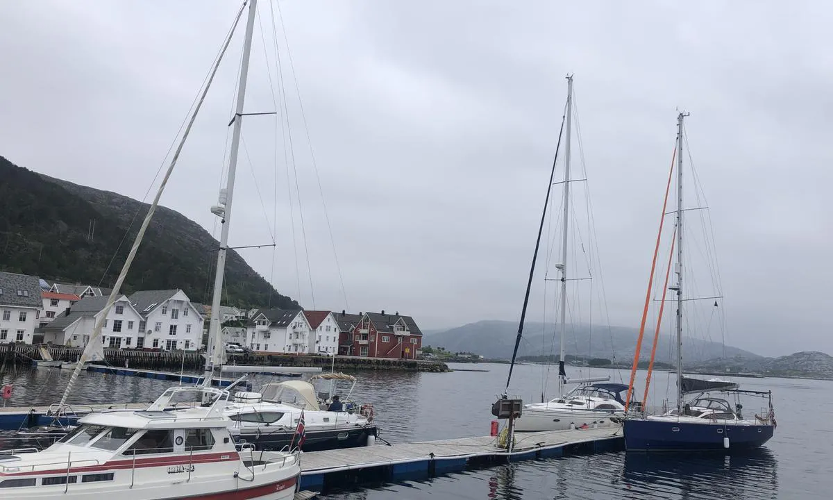
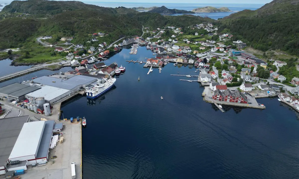
The approach is well marked. We arrived at the quay around 00:30 on 26/08-24. Outside the harbor, the wind was up to 21 m/s south-southwest in gusts and strong waves. When we rounded the large industrial islet on the port side, both the wind and waves calmed down. We had arranged mooring at the main quay on the south side of the restaurant. Very good service from the operators of Knutholmen. The harbor was then marked yellow in norskhavneguide.no
[translated from Norwegian with AI]

1 x helpful | written on 26. Aug 2024 | updated_on 26. Aug 2024
CK says:
area


maritime qualities


description
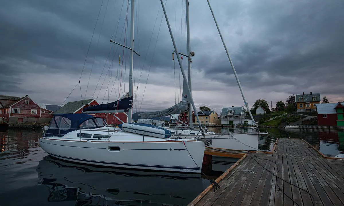
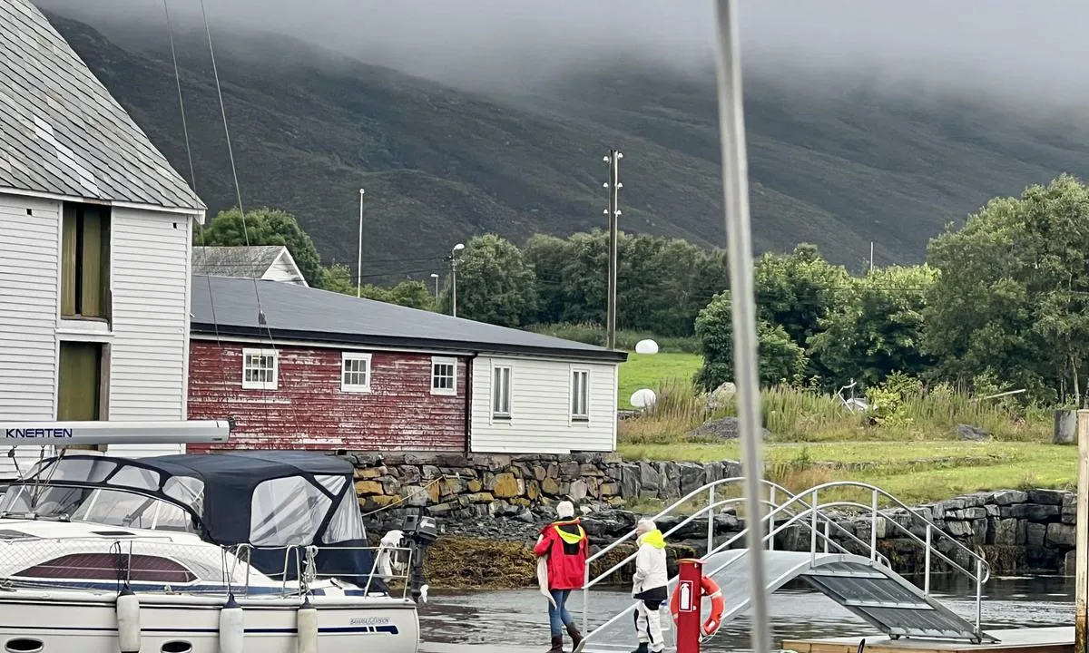
Very low standard on the docks, proper mooring cleats are missing, mooring in rope loops more or less randomly placed. The docks give a shabby impression. Expensive relative to the standard, 250 NOK per night without electricity, 300 NOK with electricity, regardless of boat size. No water.
[translated from Norwegian with AI]

1 x helpful | written on 29. Jul 2024 | updated_on 30. Jul 2024
Stein Ødegård
 says:
says:
description
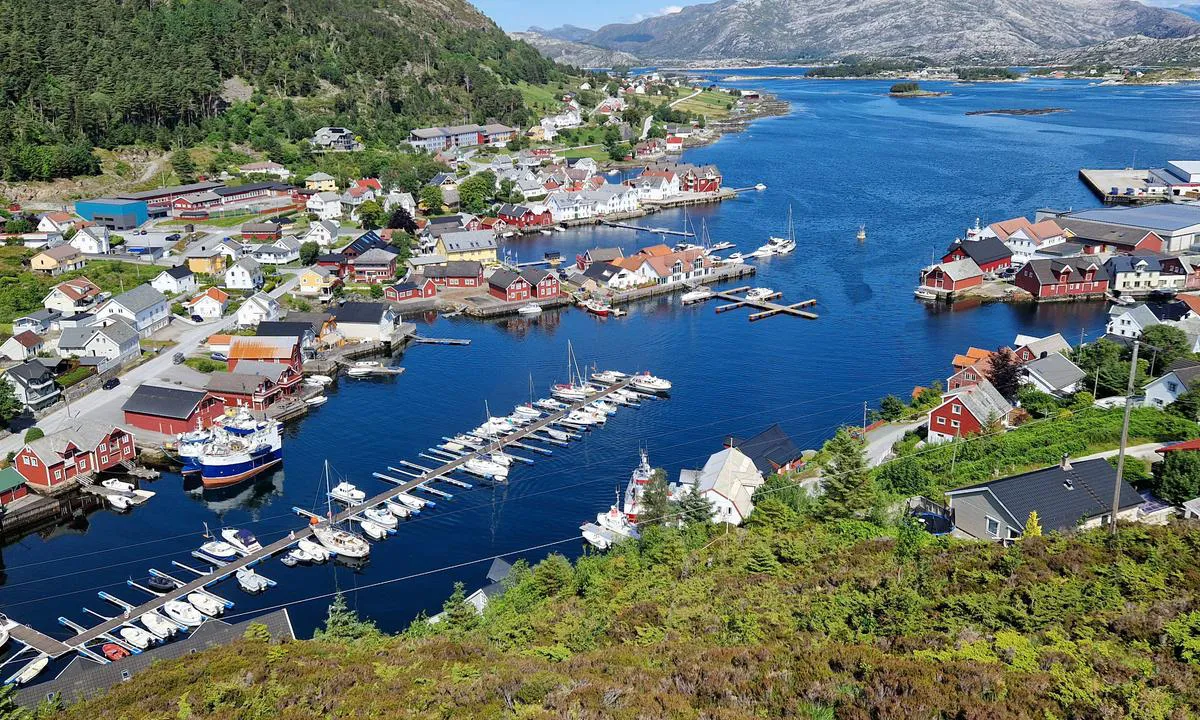
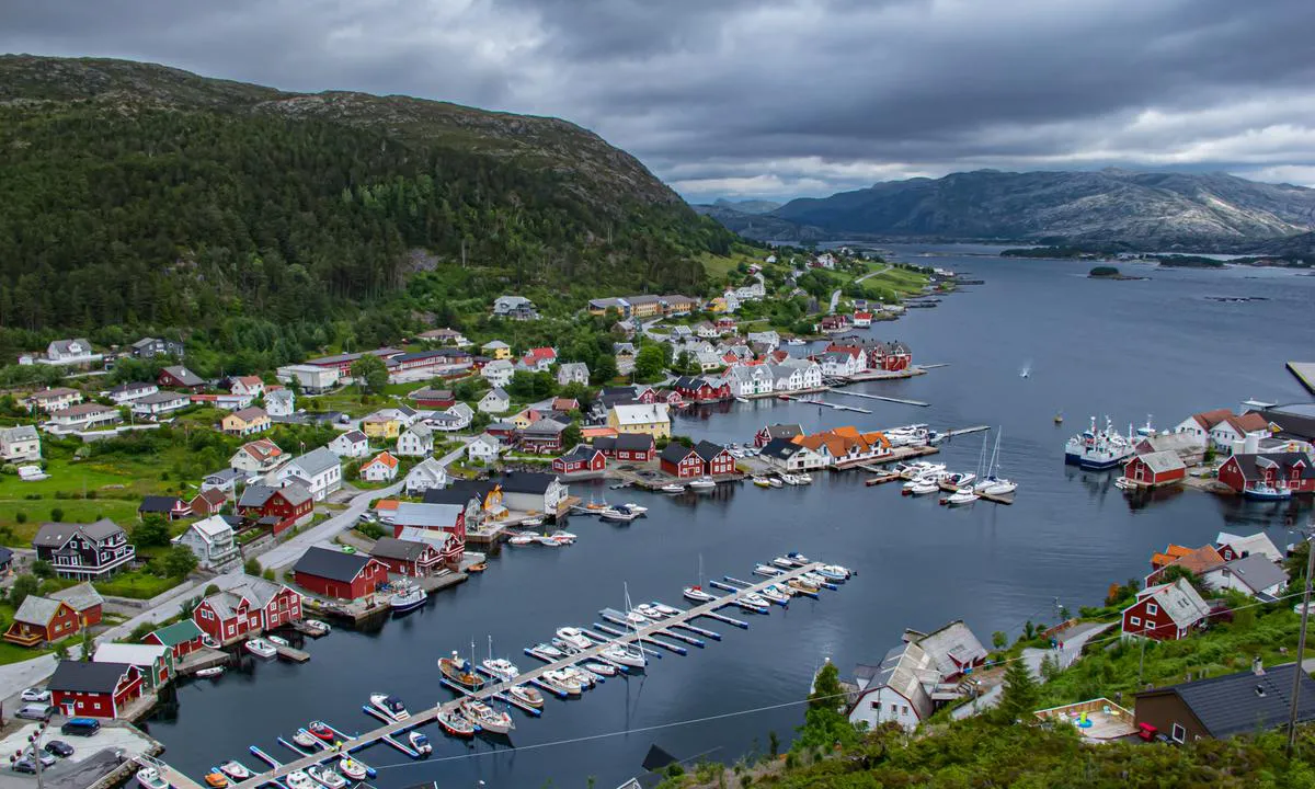
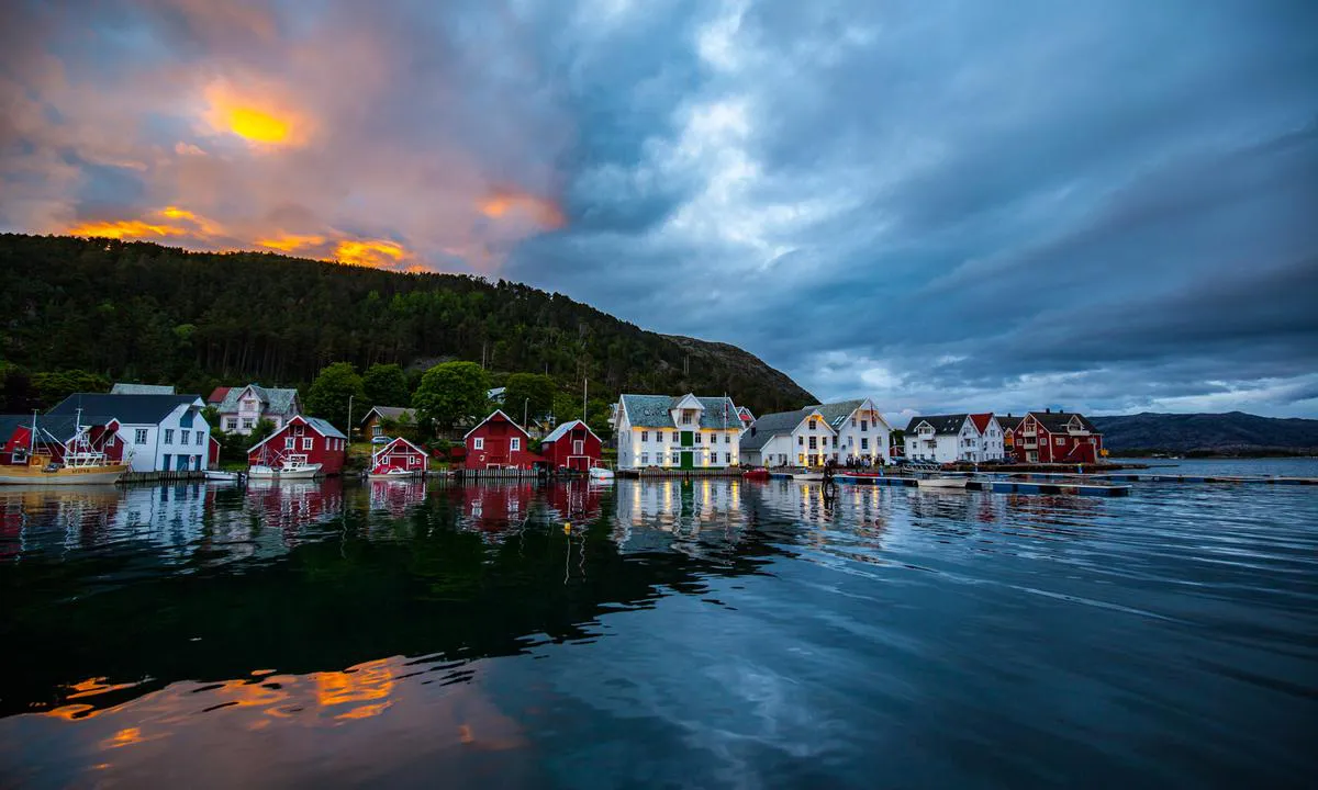
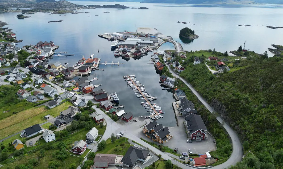
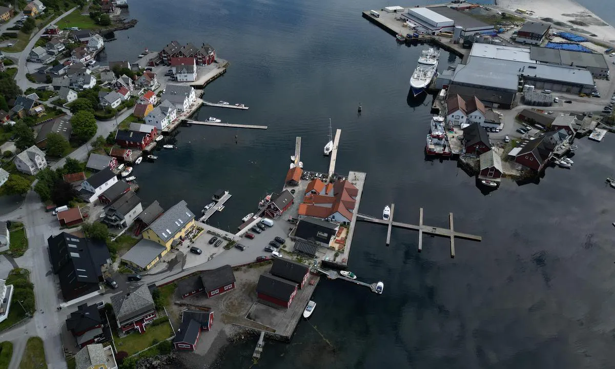
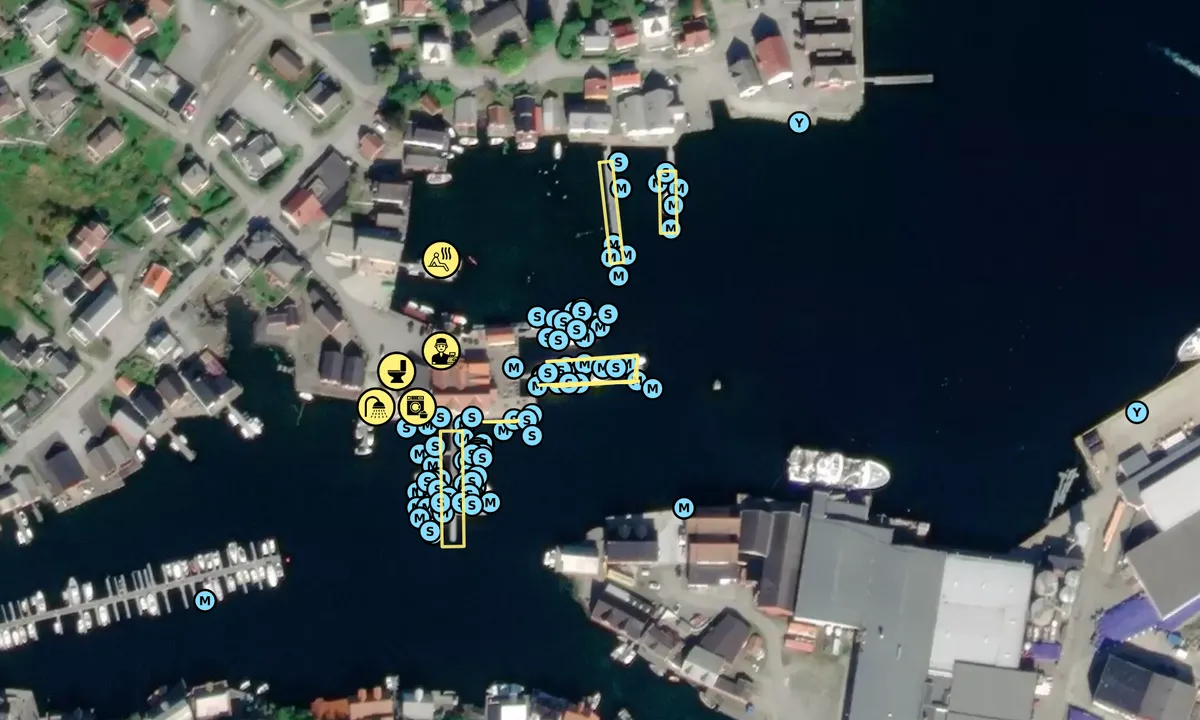
Approach and maritime conditions: Large and well-protected harbor on Frøya.
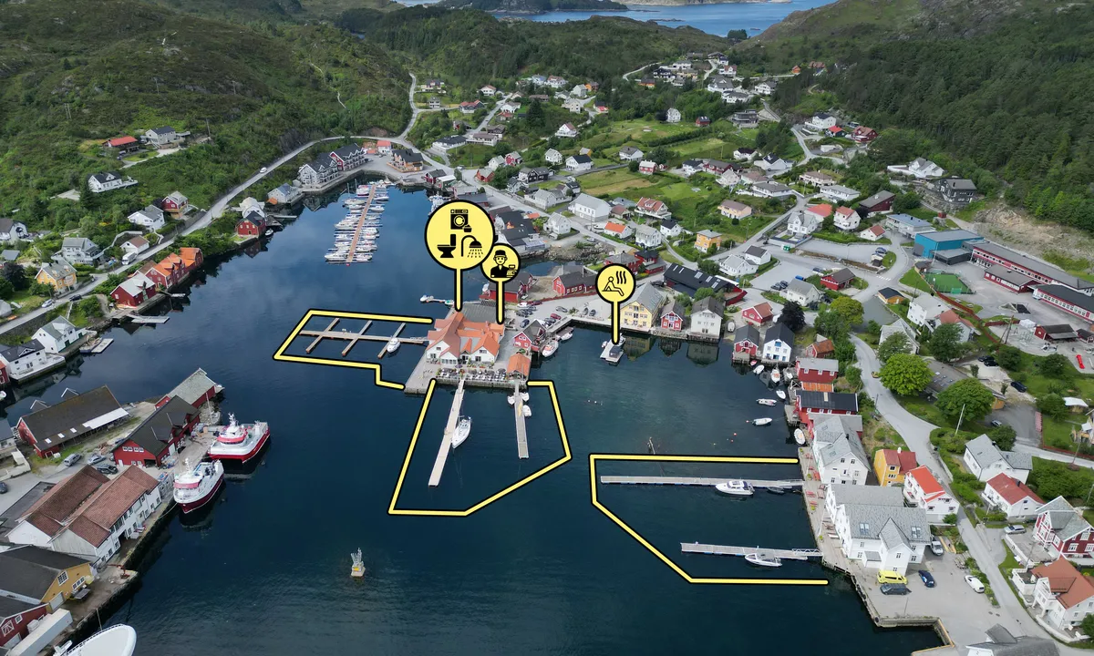
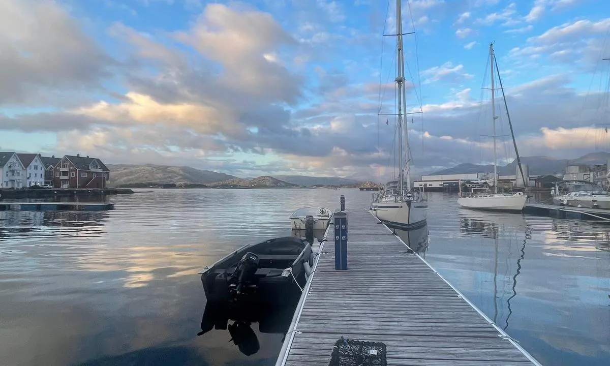
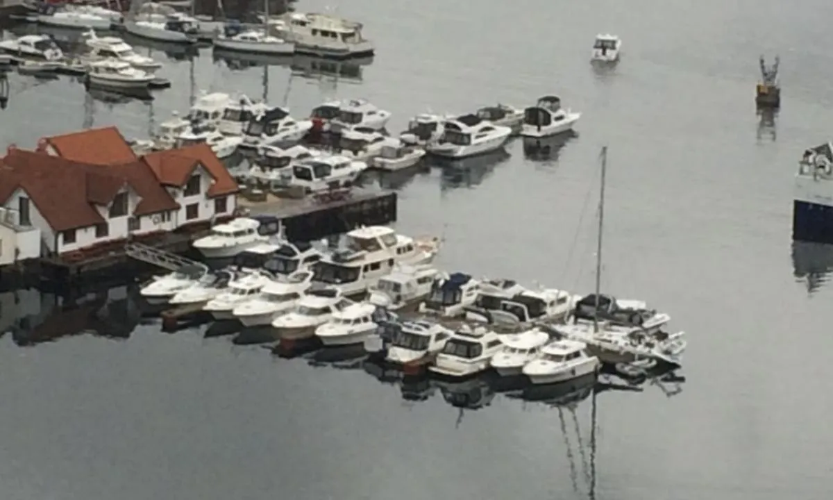
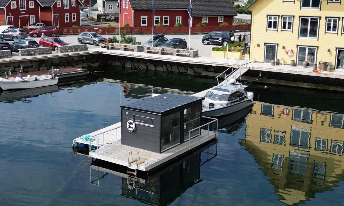
Mooring: Old docks without cross cleats, making it difficult to moor for a solo sailor if there is some wind. Plenty of space on several floating docks plus some spots along the quay at Knutholmen. Good depths except for the inside of the innermost floating dock on the north side of the harbor. Arrive before 9 PM, otherwise, you will go to bed hungry.
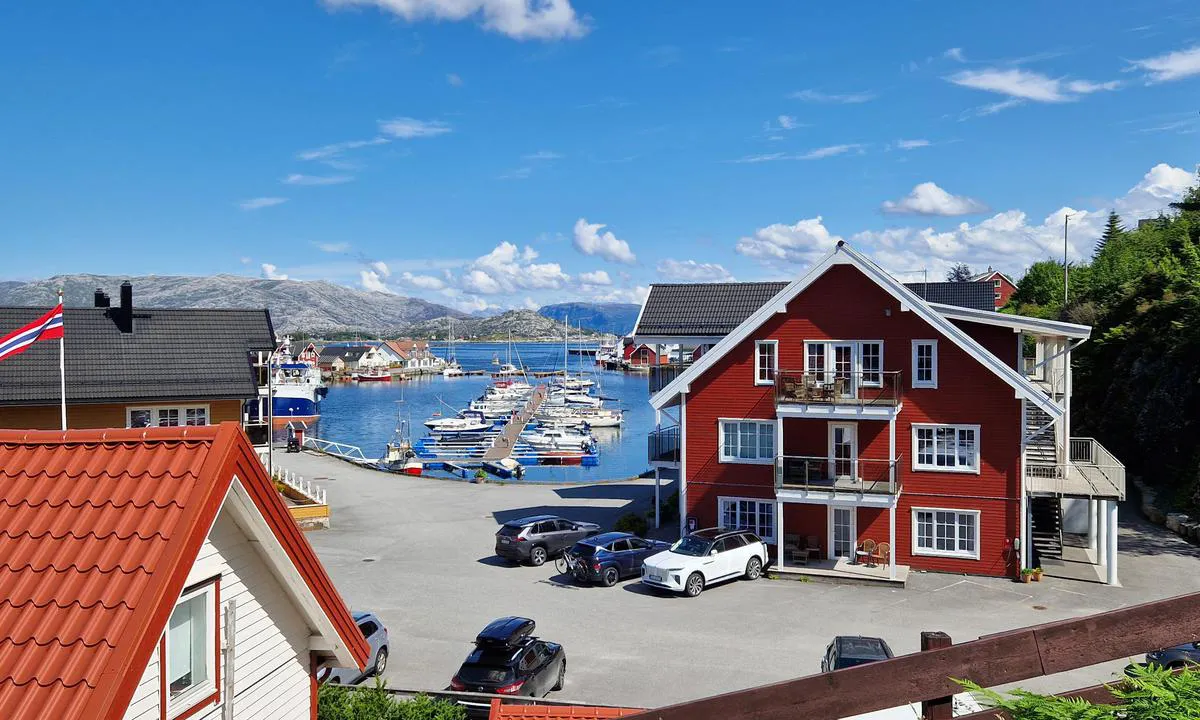
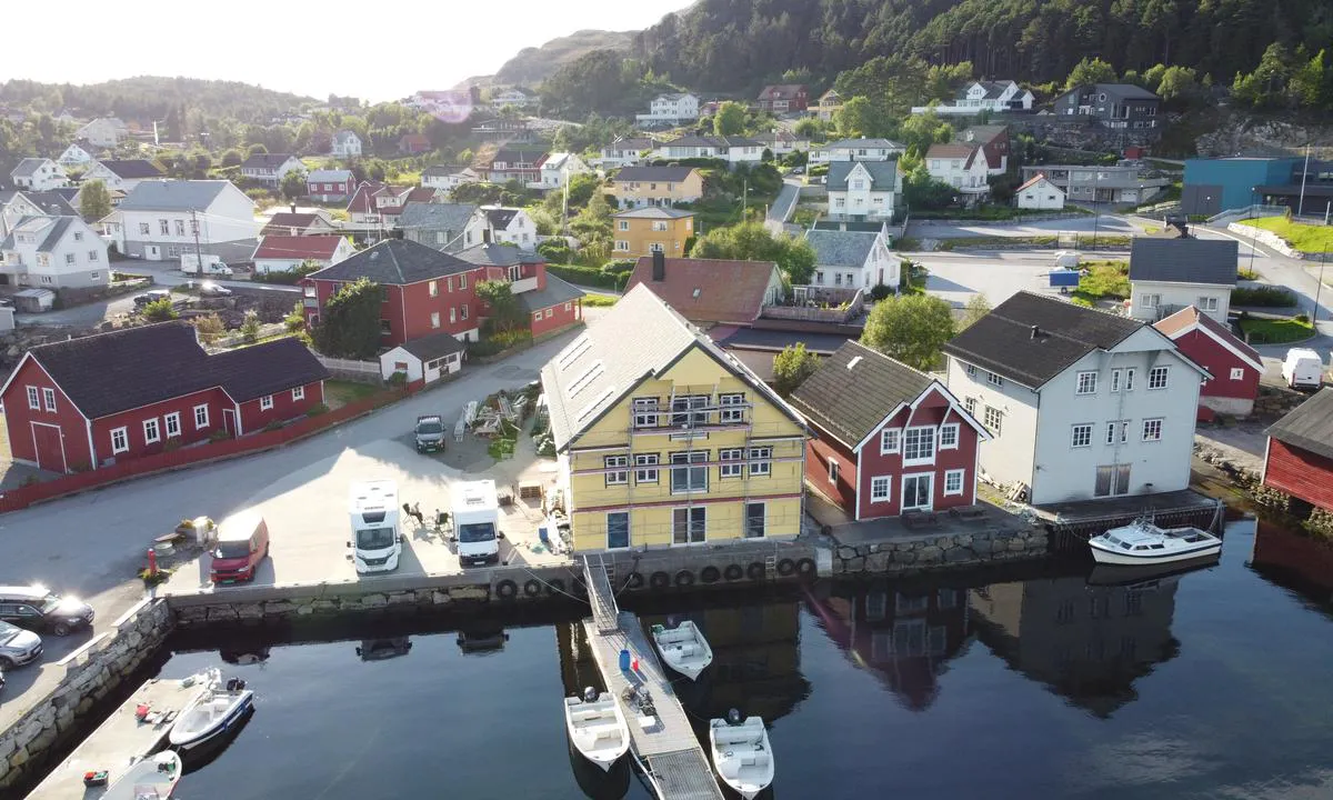
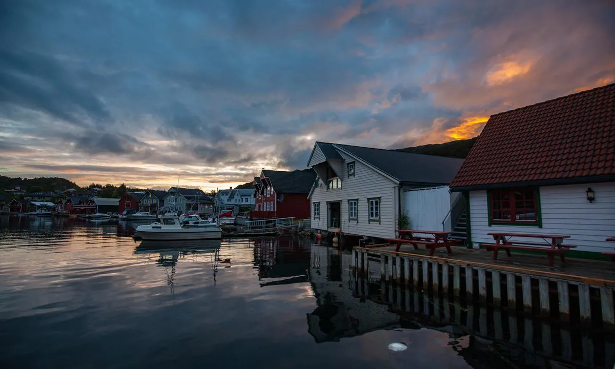
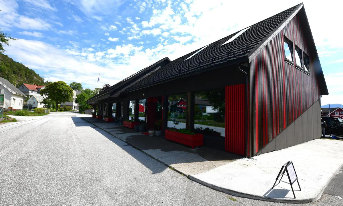
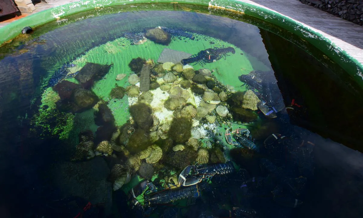
The area: Good dining place at Knutholmen. Two places with washing machines and dryers. Grocery store on the quay. Nice hiking trails in the area.
[translated from Norwegian with AI]

1 x helpful | written on 17. Jul 2021
Do you know this harbour? It's a huge help to other sailors if you add a short description or review of the harbour.
Map of Knutholmen - Kalvåg

Wind protection
Protection next night
93 points


Want to know how the wind score works? Then you should read this explanation.
The wind forecasts come from yr.no (Norwegian Meteorological Institute), and was last updated 1 hour and 56 minutes ago (Sunday 08 February 09:27 AM). The next night score shows you the worst hour between 22:00 and 08:00 the next night. We recommend that you check multiple sources for wind forecasts. windy.com is a good website to show larger wind systems.
The safe directions for this harbour was added at 17. Jul 2021. Click here to edit.
Last visits to Knutholmen - Kalvåg
Sun 13 Jul 2025 |
|
|
Fri 09 Feb 2024 |
|
|
Mon 29 Jan 2024 |
|
|
Thu 18 Jan 2024 |
|
|
Tue 16 Jan 2024 |
|
|
The visits are retrieved from AIS data. You can click to see all visiting ships to Knutholmen - Kalvåg, as well as statistics about the ships that visits
Add this harbour to a journey
Choose a different date than today
Important: When you check in to a harbour, you add it to a journey on this website. You are not booking a place in the marina.
Contributors
Users that contributed to this page: Odd Arne Maaseide, Kjetil Hasselø, Odd Tufte. S/Y Vindreken, Frank Einar Vatne, Fjellmatrosene, Frank Skogvoll, Bente Eger, ARIS, Berry Spruijt and Stein Ødegård
harbourmaps.com is updated by the boating community. When you add information, a review or pictures to this page you are listed here with the other contributors (we list your user-name, which can be your real name or a pseudonym).
Closest harbours to Knutholmen - Kalvåg
Filter by
Order by
0 harbours
Show more harbours











 LYKKE IV [MMSI: 259043070]
 QUEEN ALICE [MMSI: 258145020]