


Lanthöjden
Natural harbour

Region: Sweden (2144), Västra Götaland (661), Göta kanal (33), Töreboda (7) and Moholm (2)


Descriptions and reviews
Arjen Weber says:
says:
area

maritime qualities

description
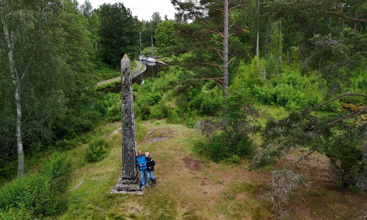
Here stands the obelisk that marks the highest point of the canal.
[translated from Dutch with AI]

0 x helpful | written on 25. Nov 2025
Erik says:
says:
area
maritime qualities
description
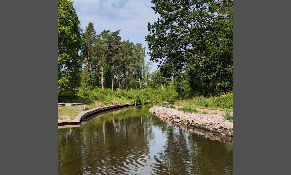
Possible to moor alongside the island between the northern and southern channels. The northern channel is closed on the western side. Therefore, you are not in the way in the eastern part of the northern channel.
[translated from Swedish with AI]
1 x helpful | written on 2. Jul 2025
Do you know this harbour? It's a huge help to other sailors if you add a short description or review of the harbour.
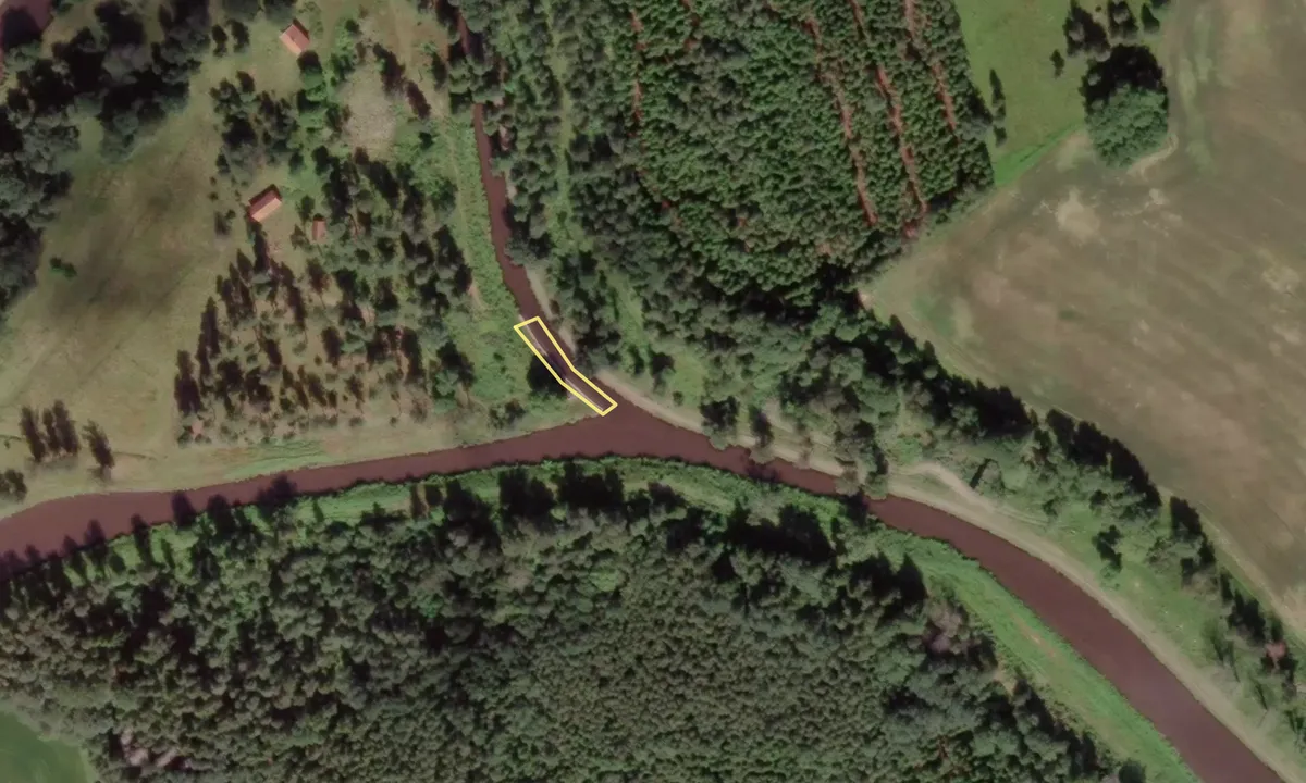
Map of Lanthöjden

Wind protection
Protection next night
95 points


Want to know how the wind score works? Then you should read this explanation.
The wind forecasts come from yr.no (Norwegian Meteorological Institute), and was last updated 1 hour and 42 minutes ago (Thursday 25 June 07:28 AM). The next night score shows you the worst hour between 22:00 and 08:00 the next night. We recommend that you check multiple sources for wind forecasts. windy.com is a good website to show larger wind systems.
The safe directions for this harbour was added at 24. Nov 2025. Click here to edit.
Last visits to Lanthöjden
The visits are retrieved from AIS data. You can click to see all visiting ships to Lanthöjden, as well as statistics about the ships that visits
Add this harbour to a journey
Choose a different date than today
Important: When you check in to a harbour, you add it to a journey on this website. You are not booking a place in the marina.
Contributors
Users that contributed to this page: Arjen Weber and Erik
harbourmaps.com is updated by the boating community. When you add information, a review or pictures to this page you are listed here with the other contributors (we list your user-name, which can be your real name or a pseudonym).
Closest harbours to Lanthöjden
Filter by
Order by
0 harbours
Show more harbours
