


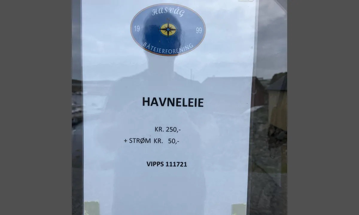
Hasvåg Båtforening
Marina

Region: Norway (3465), Trøndelag (306), Nord-Trøndelag (128), Flatanger (21) and Hasvåg (3)

 , uploaded on 30. Jul 2025


Descriptions and reviews
Tommy Hasvåg says:
description
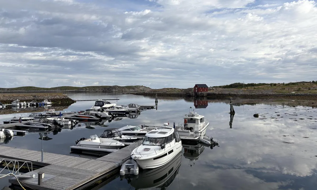
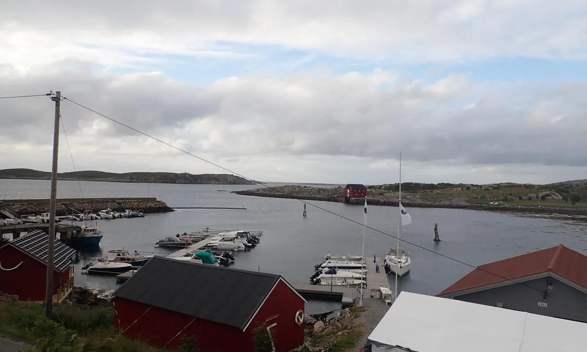
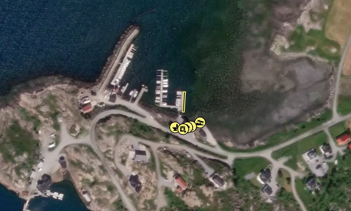
Entering and Maritime Conditions: The harbor is located within a breakwater, 300 m from the boat channel, signage visible from the channel. 3-5 m deep
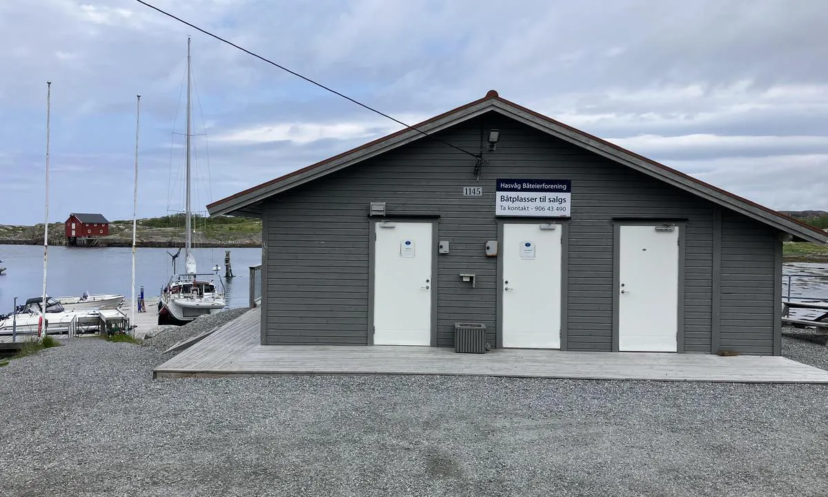
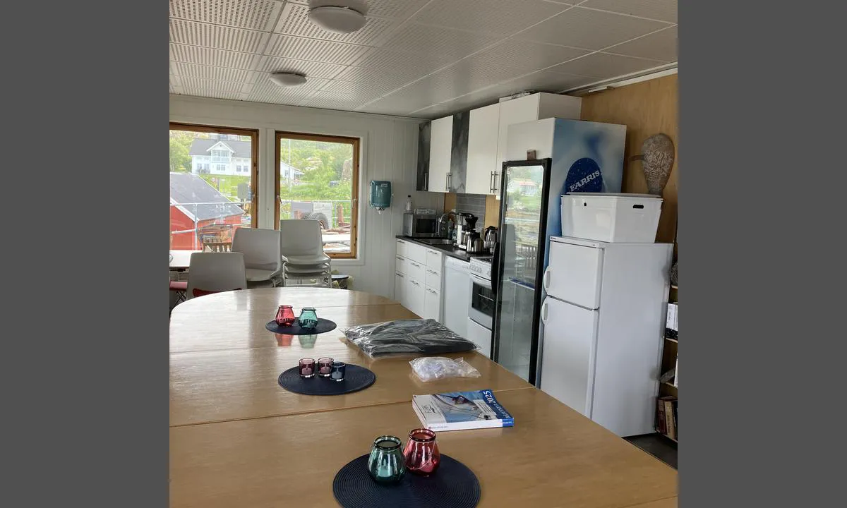
Mooring: Floating dock to berth alongside, toilet, shower, washing machine, water and shore power
The Area: Beautiful place with a lot of history and stunning landscape, excellent hiking trails leading to a mountain peak with fantastic sea views
[translated from Norwegian with AI]

1 x helpful | written on 28. May 2021
Do you know this harbour? It's a huge help to other sailors if you add a short description or review of the harbour.
Map of Hasvåg Båtforening

Wind protection
Protection next night
80 points


Want to know how the wind score works? Then you should read this explanation.
The wind forecasts come from yr.no (Norwegian Meteorological Institute), and was last updated 1 hour and 34 minutes ago (Wednesday 24 June 01:28 PM). The next night score shows you the worst hour between 22:00 and 08:00 the next night. We recommend that you check multiple sources for wind forecasts. windy.com is a good website to show larger wind systems.
The safe directions for this harbour was added at 28. May 2021. Click here to edit.
Last visits to Hasvåg Båtforening
Wed 03 Jul 2024 |
|
|
 TOJATO - R [MMSI: 258142020]
The visits are retrieved from AIS data. You can click to see all visiting ships to Hasvåg Båtforening, as well as statistics about the ships that visits
Add this harbour to a journey
Choose a different date than today
Important: When you check in to a harbour, you add it to a journey on this website. You are not booking a place in the marina.
Contributors
Users that contributed to this page: Onedin, Tommy Hasvåg, Oter and S/Y Rulten
harbourmaps.com is updated by the boating community. When you add information, a review or pictures to this page you are listed here with the other contributors (we list your user-name, which can be your real name or a pseudonym).
Closest harbours to Hasvåg Båtforening
Filter by
Order by
0 harbours
Show more harbours
