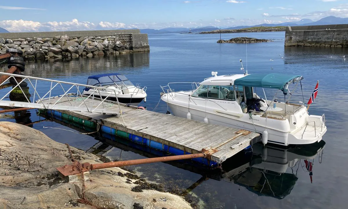
Grip: {"base": "no", "no": "2,5m dybde ved flytebrygga ved fj\u00e6re sj\u00f8.", "se": "2,5 m djup vid flytbryggan vid l\u00e5gvatten.", "en": "2.5m depth at the floating dock at low tide.", "da": "2,5 m dybde ved flydebroen ved lavvande."}
Grip
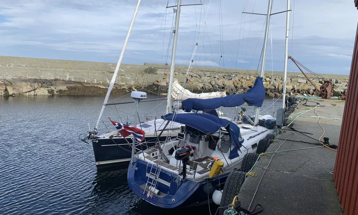
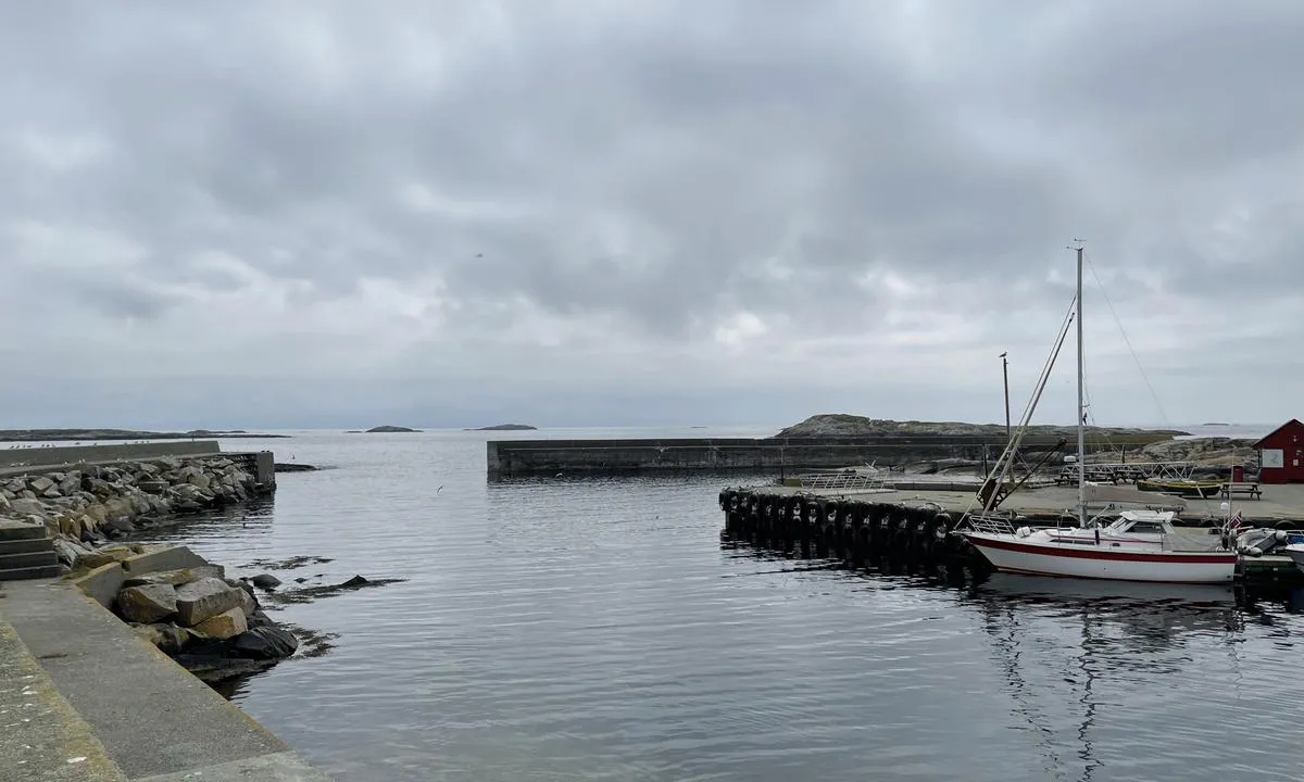
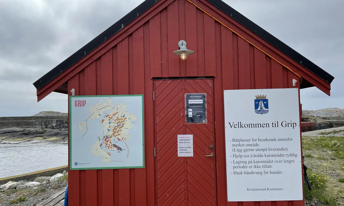
Grip: {"base": "no", "no": "Det g\u00e5r fint \u00e5 legg til p\u00e5\r\nkaien, innenfor der ruteb\u00e5ten legger til. Ogs\u00e5 flere flytebrygger tilgjengelig, i tillegg til den som ligger om babord n\u00e5r man kommer innenfor moloen. Kart over tilgjengelig flytebrygger er sl\u00e5tt opp p\u00e5 kaia.", "se": "Det g\u00e5r bra att l\u00e4gga till p\u00e5 kajen, innanf\u00f6r d\u00e4r ruteb\u00e5ten l\u00e4gger till. Det finns ocks\u00e5 flera flytbryggor tillg\u00e4ngliga, f\u00f6rutom den som ligger om babord n\u00e4r man kommer innanf\u00f6r piren. Karta \u00f6ver tillg\u00e4ngliga flytbryggor \u00e4r uppsatt p\u00e5 kajen.", "en": "It is fine to dock at the quay, inside where the route boat docks. There are also several floating piers available, in addition to the one on port side when you come inside the breakwater. A map of available floating piers is posted on the quay.", "da": "Det g\u00e5r fint at l\u00e6gge til p\u00e5 kajen, indenfor hvor ruteb\u00e5den l\u00e6gger til. Der er ogs\u00e5 flere flydebroer tilg\u00e6ngelige, udover den som ligger til bagbord n\u00e5r man kommer indenfor molen. Kort over tilg\u00e6ngelige flydebroer er sl\u00e5et op p\u00e5 kajen."}
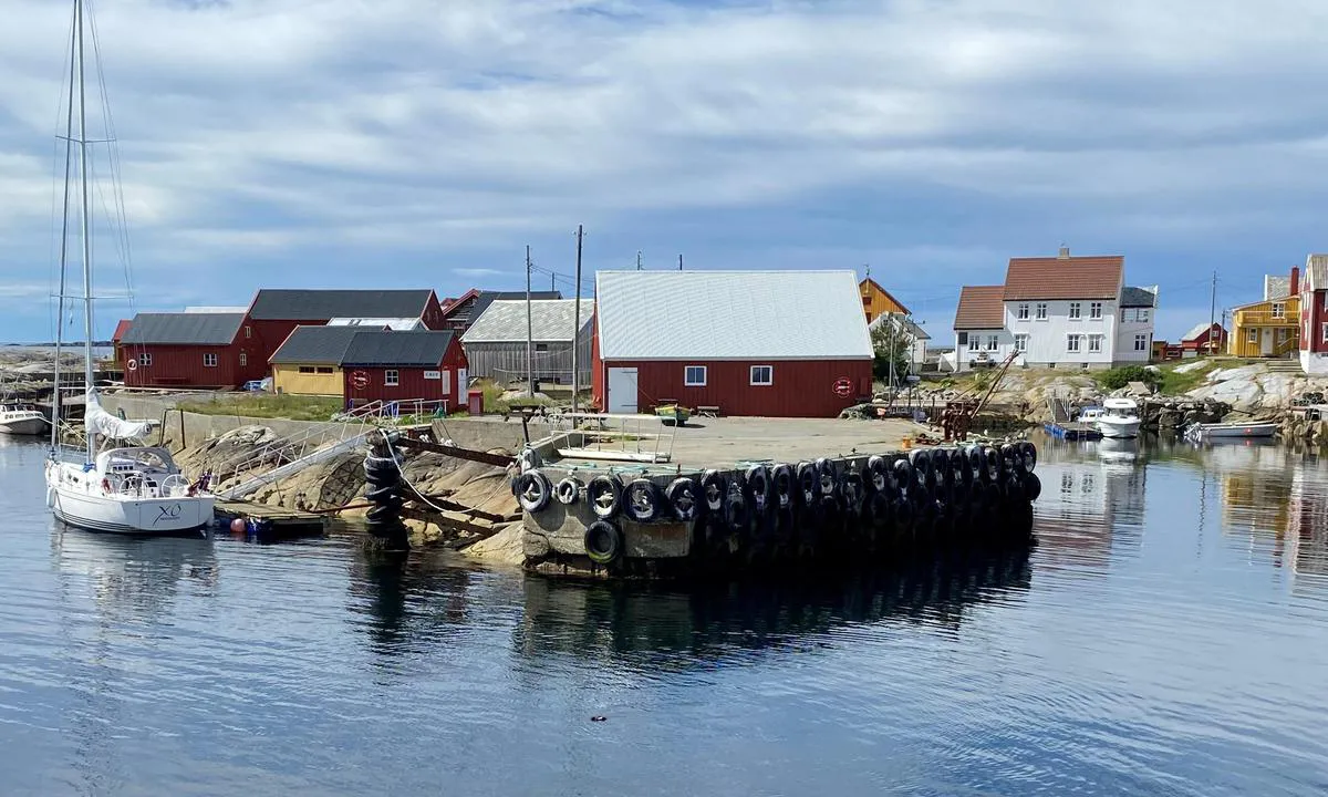
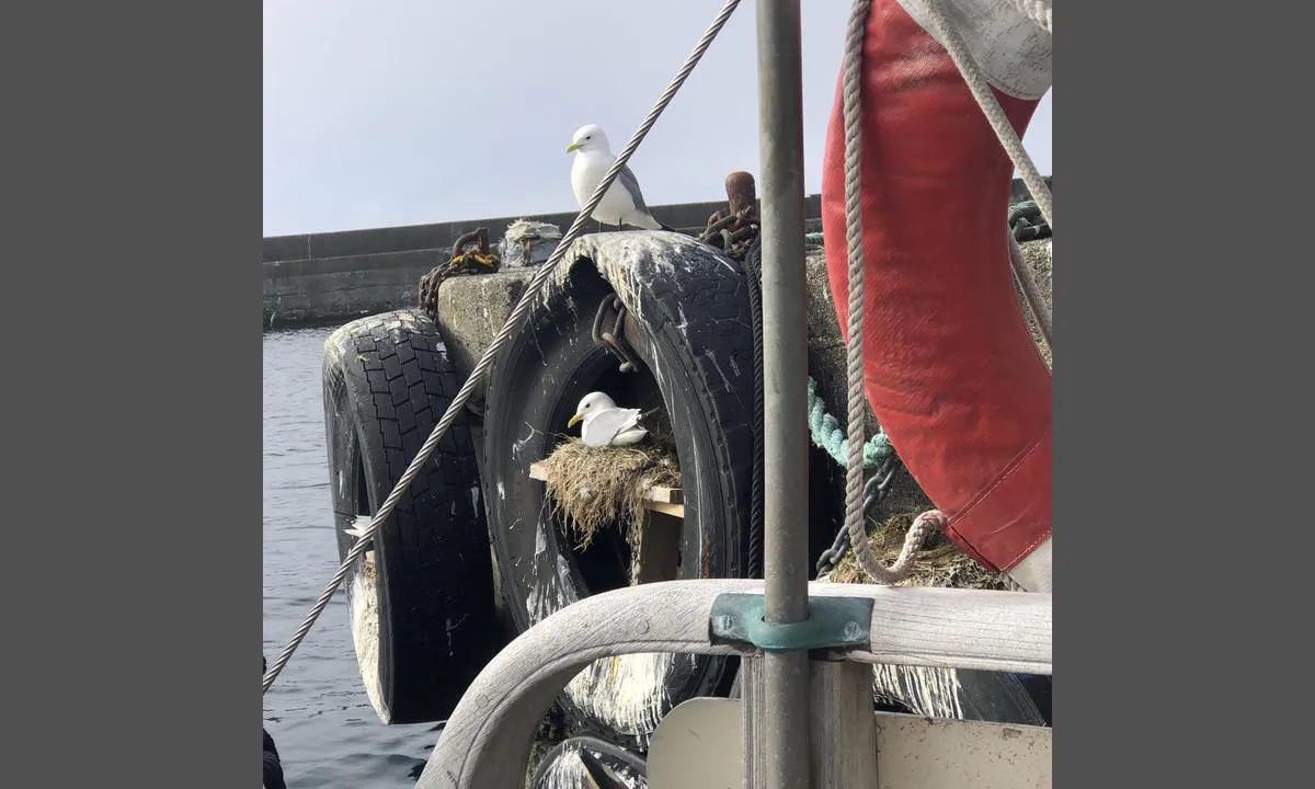
Grip: {"base": "no", "no": "Det er f\u00e5 plasser til gjesteb\u00e5ter. Her ligger vi p\u00e5 fergekaia f\u00f8r sommerruten \u00e5pnet. \u00d8ya er en viktig hekkeplass for krykkje og lomvi. \u00d8ya var Norges minste kommune fram til 1964.", "se": "Det finns f\u00e5 platser f\u00f6r g\u00e4stb\u00e5tar. H\u00e4r ligger vi vid f\u00e4rjekajen innan sommarrutten startar. \u00d6n \u00e4r en viktig h\u00e4ckningsplats f\u00f6r tret\u00e5ig m\u00e5s och sillgrissla. \u00d6n var Norges minsta kommun fram till 1964.", "en": "There are few spots for guest boats. Here we are docked at the ferry quay before the summer schedule opened. The island is an important nesting site for kittiwakes and common murres. The island was Norway's smallest municipality until 1964.", "da": "Der er f\u00e5 pladser til g\u00e6steb\u00e5de. Her ligger vi ved f\u00e6rgekajen f\u00f8r sommerplanen \u00e5bnede. \u00d8en er en vigtig yngleplads for ride og lomvie. \u00d8en var Norges mindste kommune indtil 1964."}
Grip: {"base": "no", "no": "Fikk lurt meg til et hj\u00f8rne. .", "se": "Lyckades lura mig till ett h\u00f6rn. .", "en": "Managed to slip myself into a corner.", "da": "Fik mig narret til et hj\u00f8rne."}
Grip
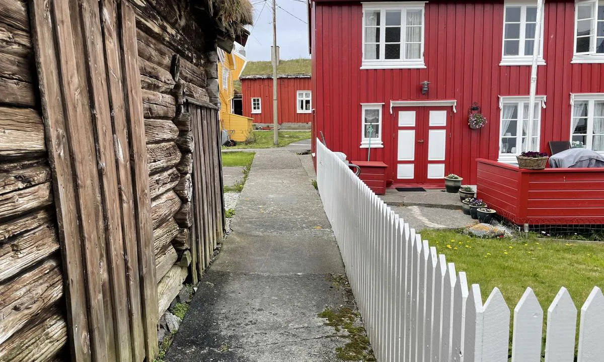
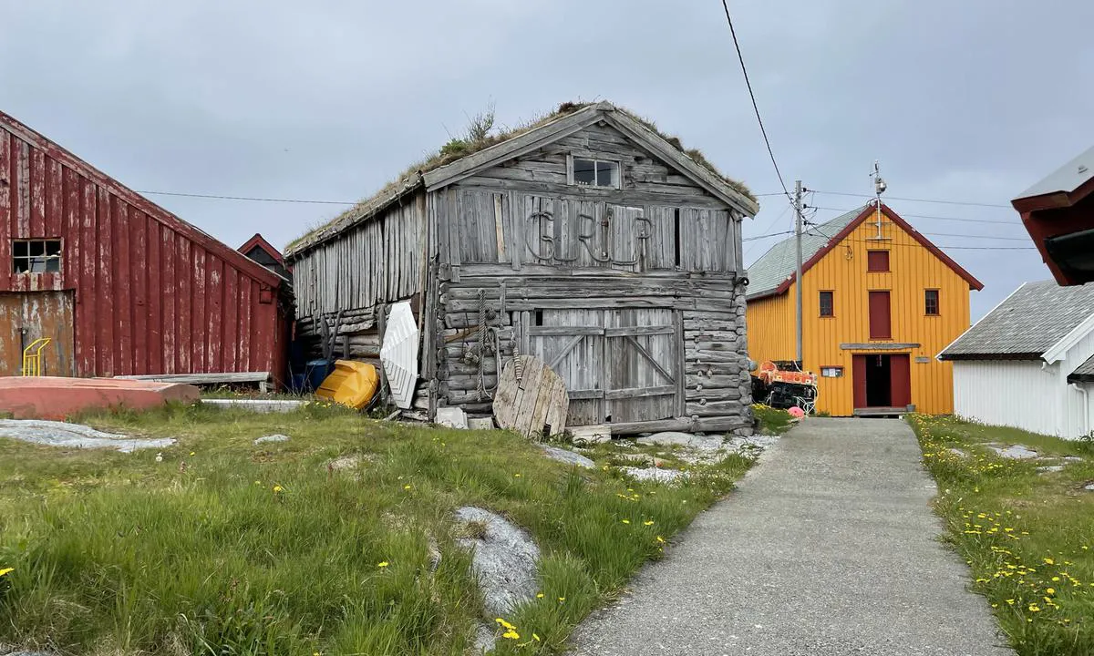
Grip: {"base": "no", "no": "\"Hovedgata\".", "se": "Huvudgatan", "en": "Main street", "da": "Hovedgaden"}
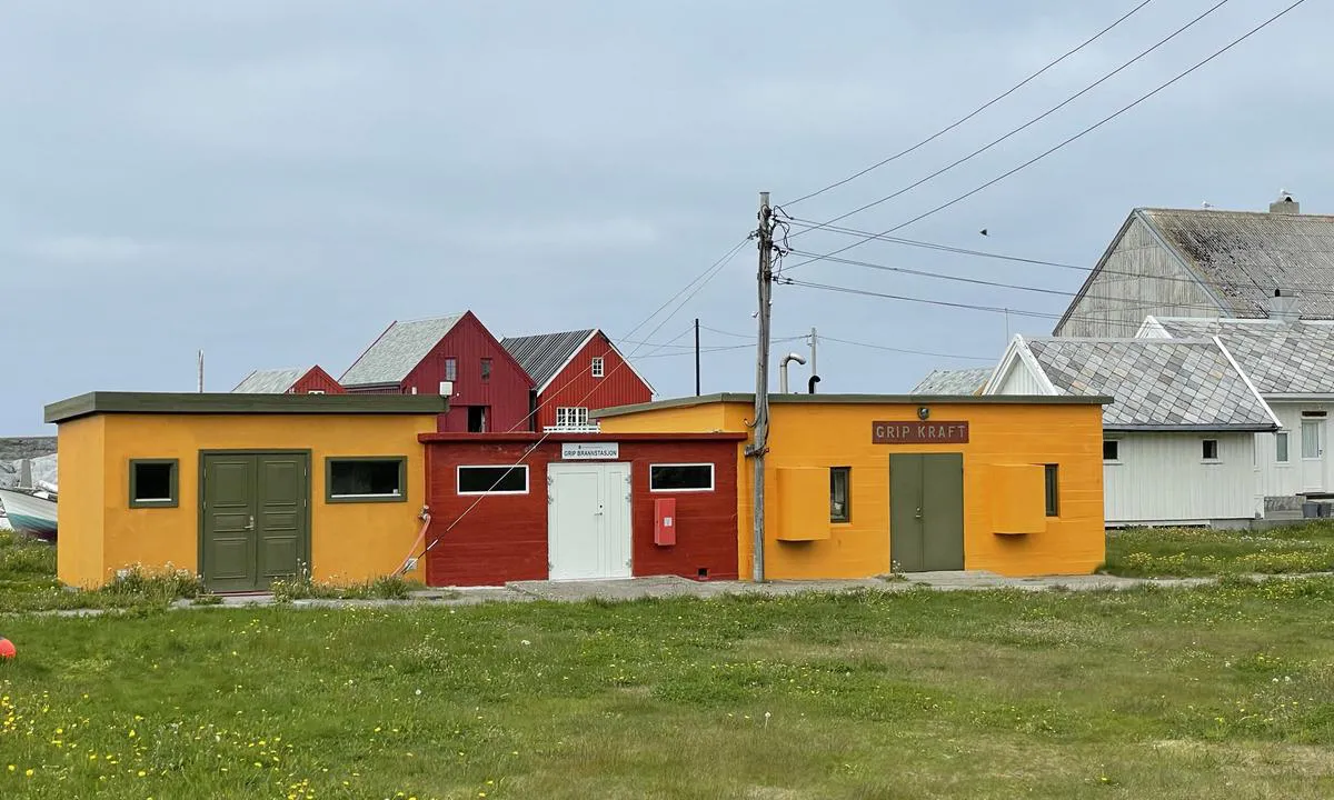
Grip: {"base": "no", "no": "Kraftstasjonen. Her duret det i et dieselaggregat..", "se": "Kraftstationen. H\u00e4r d\u00e5nade det av ett dieselaggregat.", "en": "The Power Station. Here, a diesel generator was humming.", "da": "Kraftstationen. Her brummede det i et dieselaggregat."}
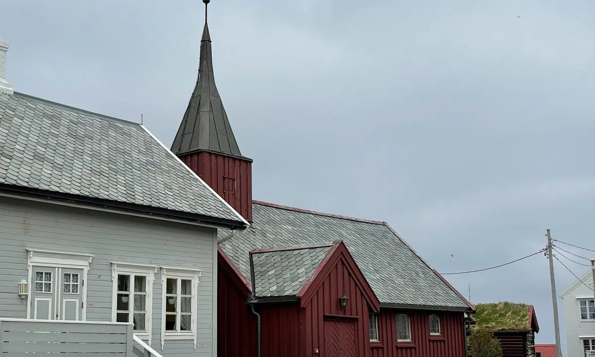
Grip: {"base": "no", "no": "\u00d8yas h\u00f8yeste punkt...", "se": "\u00d6ns h\u00f6gsta punkt...", "en": "The island's highest point...", "da": "\u00d8ens h\u00f8jeste punkt..."}
Grip
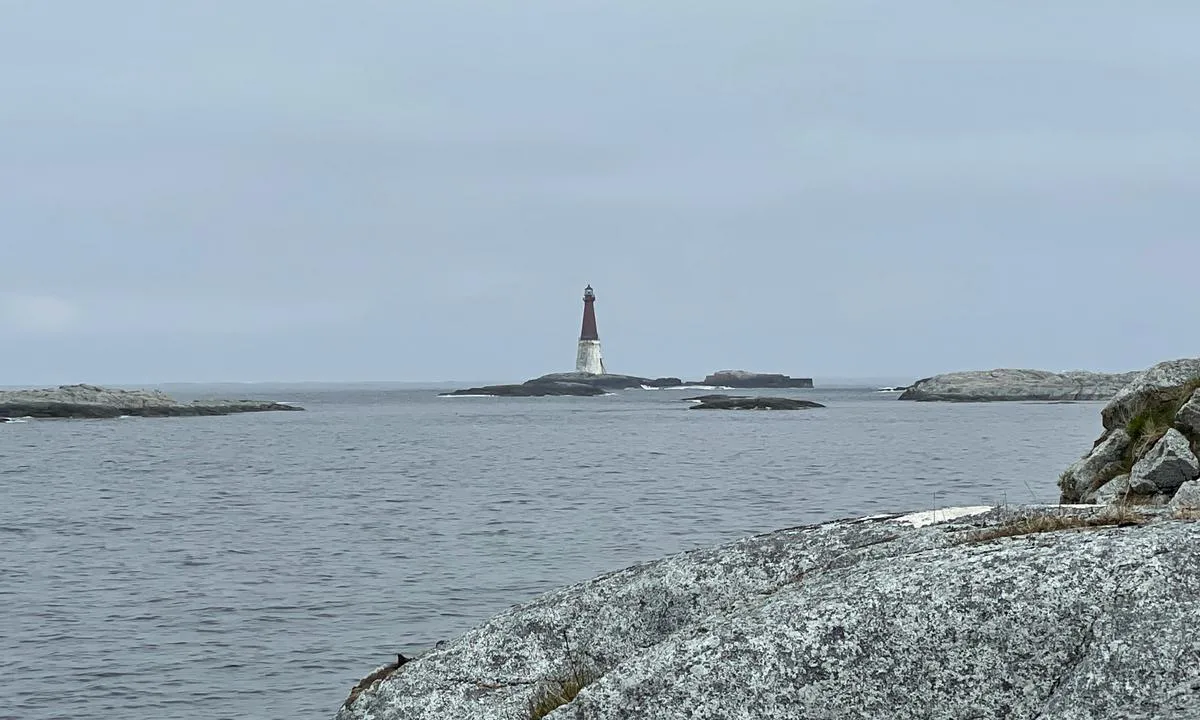
{"base": "no", "no": "Grip fyr, bygget mellom 1885 og 1888. 44m h\u00f8yt, automatisert fra 1977.\r\n\r\nDet tok fire somrer \u00e5 bygge Grip fyr p\u00e5 den meget v\u00e6rharde Bratth\u00e5rskollen, som kan bli overskyllet av havet n\u00e5r v\u00e6ret er d\u00e5rlig.", "se": "Grip fyr, byggd mellan 1885 och 1888. 44m h\u00f6gt, automatiserat fr\u00e5n 1977.<br><br>Det tog fyra somrar att bygga Grip fyr p\u00e5 den mycket v\u00e4derh\u00e5rda Bratth\u00e5rskollen, som kan \u00f6versk\u00f6ljas av havet n\u00e4r v\u00e4dret \u00e4r d\u00e5ligt.", "en": "Grip Lighthouse, built between 1885 and 1888. 44m high, automated since 1977.<br><br>It took four summers to build Grip Lighthouse on the very weather-exposed Bratth\u00e5rskollen, which can be flooded by the sea when the weather is bad.", "da": "Grip fyr, bygget mellem 1885 og 1888. 44m h\u00f8jt, automatiseret fra 1977.<br><br>Det tog fire somre at bygge Grip fyr p\u00e5 den meget h\u00e5rdt vejrp\u00e5virkede Bratth\u00e5rskollen, som kan blive overskyllet af havet, n\u00e5r vejret er d\u00e5rligt."}
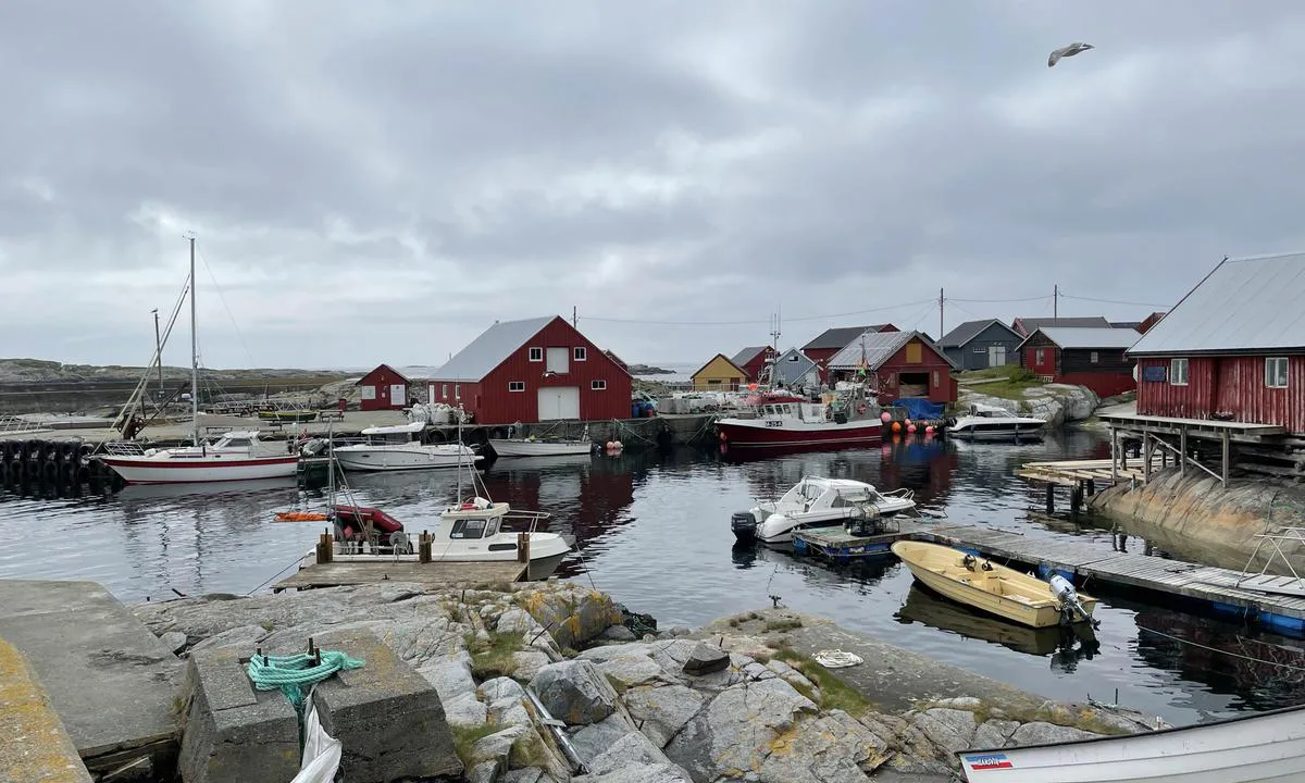
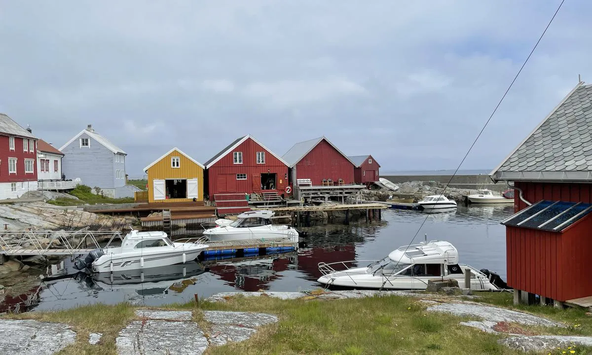
Grip: {"base": "no", "no": "Indre del av havna.", "se": "Inre del av hamnen.", "en": "Inner part of the harbor.", "da": "Indre del af havnen."}
Grip
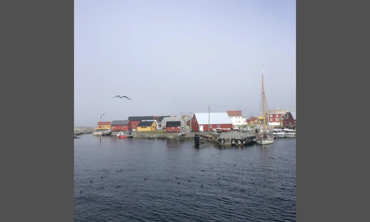
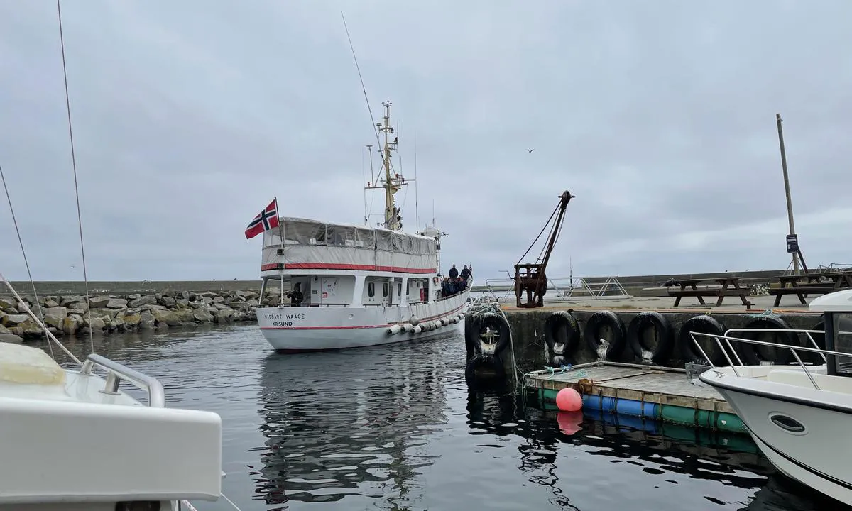
{"base": "no", "no": "Grip-ruta ankommer. God gammel redningskrysser som er blitt omdisponert.", "se": "Grip-rutan anl\u00e4nder. En gammal god r\u00e4ddningskryssare som har blivit omdisponerad.", "en": "The Grip route arrives. Good old rescue cruiser that has been repurposed.", "da": "Grip-ruten ankommer. God gammel redningskrydsser som er blevet omdisponeret."}
Grip
{"base": "no", "no": "Grip var Norges minste kommune fram til 1964, og \u00f8ya er en viktig hekkeplass for krykkje og lomvi.", "se": "Grip var Norges minsta kommun fram till 1964, och \u00f6n \u00e4r en viktig h\u00e4ckningsplats f\u00f6r tret\u00e5ig m\u00e5s och sillgrissla.", "en": "Grip was Norway's smallest municipality until 1964, and the island is an important breeding ground for kittiwake and common murre.", "da": "Grip var Norges mindste kommune frem til 1964, og \u00f8en er en vigtig yngleplads for krykkje og lomvi."}
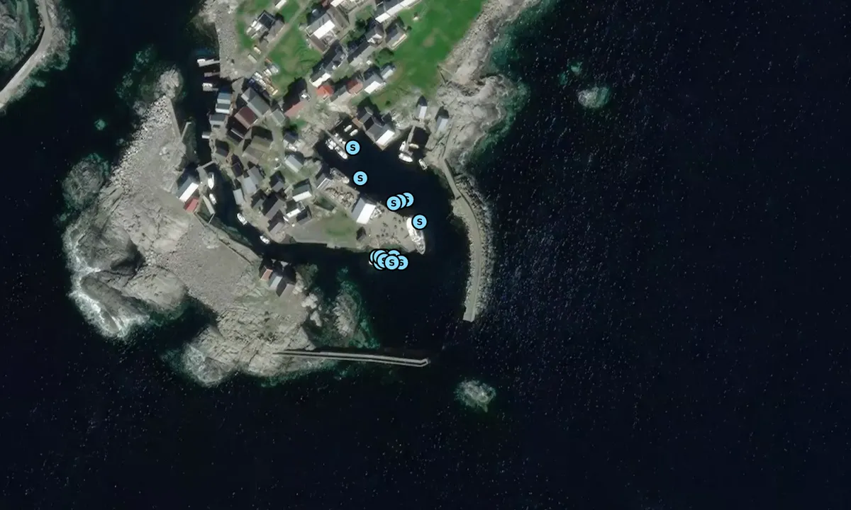
Flyfoto av Grip

📸 Upload a photo

Show off your photos and help others plan their journey to Grip.harbourmaps.com is created by the sailing community, in a collective effort to make cruising simpler and more fun. Uploading a photo takes less than a minutes and can be done from your phone, tablet or laptop.

📸 Upload a photo

Facilities

We don't have any data on available facilities in this harbour. If you know which facilities are available here, please update this site to help your fellow sailors. Update facilities.

Mooring

Options for mooring in this harbour: To pier/wharf.

Updated on 5. Jun 2021. Update mooring.

Contact information

website: Add website

phone: Add phone number

email: Add email

Descriptions and reviews

Stein Ødegård says:

area

maritime qualities

description

The floating jetty will be in its usual place on June 18, 2024, as will the kittiwakes. Grip is a great spot with a long history. No permanent residents here now, but many summer visitors. The harbor is good, but it is small. The harbor should only be visited in good weather.

[translated from Norwegian with AI]

2 x helpful | written on 19. Jun 2024

Arne Henriksen says:

description

Approach and maritime conditions: There are 2 harbors on Grip, the southern one is the most suitable and here there is a floating dock and a steamship quay which the Grip-route from Kristiansund uses. And all the crutches... The rest of the quays are private.
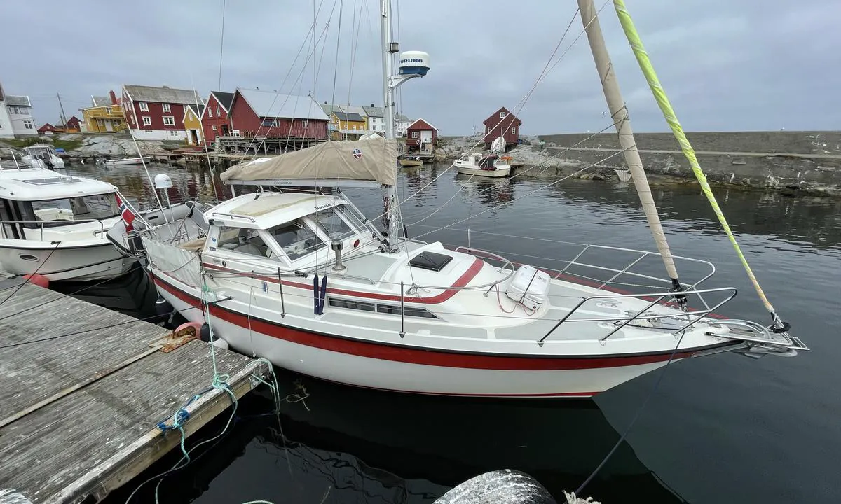
Mooring: There is a floating dock used as a guest dock. At the end of May, this was still located further inside the harbor than the usual spot quite far out - where only the gangway remained. It was still manageable to moor there, but the dock is not large, see the pictures.
The area: The stave church stands at the highest point on the island, 8 meters above sea level. It has several times saved people when several other houses were washed away in the great storms of 1796 and 1804. Otherwise, it is nice and easy to walk between the houses, there are concrete paths laid around most places.

[translated from Norwegian with AI]

2 x helpful | written on 5. Jun 2021

Do you know this harbour? It's a huge help to other sailors if you add a short description or review of the harbour.

📜 Add description

Map of Grip

Facilities

We don't have any data on available facilities in this harbour. If you know which facilities are available here, please update this site to help your fellow sailors. Update facilities.

Mooring

Options for mooring in this harbour: To pier/wharf.

Updated on 5. Jun 2021. Update mooring.

Wind protection

Protection next night

23 points

N E S W --> } } } } } } } } } } } } } } } } } } } } } } } } } } } } } } } } } } } } } } } } } } } } } } } } } } } } } } } } } } } } } } } } } } } } } } } } } } } } } } } } } } } } } } } } } } } } } } } } } } } } } } } } } } } } } } } } } } } } } } } } } } } } } } } } } } } } } } } } } } } } } } } } } } } } } } } } } } } } } } } } } } } } } } } } } } } } } } } } } } } } } } } } } } } } } } } } } } } } } } } } } } } } } } } } } } } } } } } } } } } } } } } } } } } } } } } } } } } } } } } } } } } } } } } } } } } } } } } } } } } } } } } } } } } } } } } } } } } } } } } } } } } } } } } } } } } } } } } } } } } } } } } } } } } } } } } } } } } } } } } } } } } } } } } } } } } } } } } } } } } } } } } } } } } } } } } } } } } } } } } } } } } } } } } } } } } } } } } } } } } } } } } } } } } } } } } } } } } } } } } } } } } } } } } } } } } } } } } } } } } } } } } } } } } } } } } } } } } } } } } } } } } } } } } } } } } } } } } } } } } } } } } } } } } } } } } } } } } } } } } } } } } } } } } } } } } } } } } } } } } } } } } } } } } } } } } } } } } } } } } } } } } } } } } } } } } } } } } } } } } } } } } } } } } } } } } } } } } } } } } } } } } } } } } } } } } } } } } } } } } } } } } } } } } } } } } } } } } } } } } } } } } } } } } } } } } } } } } } } } } } } } } } } } } } } } } } } } } } } } } } } } } } } } } } } } } } } } } } } } } } } } } } } } } } } } } } } } } } } } } } } } } } } } } } } } } } } } } } } } } } } } } } } } } } } } } } } } } } } } } } } } } } } } } } } } } } } } } } } } } } } } } } } } } } } } } } } } } } } } } } } } } } } } } } } } } } } } } } } } } } } } } } } } } } } } } } } } } } } } } } } } } } } } } } } } } } } } } } } } } } } } } } } } } } } } } } } } } } } } } } } } } } } } } } } } } } } } } } } } } } } } } } } } } } } } } } } } } } } } } } } } } } } } } } } } } } } } } } } } } } } } } } } } } } } } } } } } } } } } } } } } } } } } } } } } } } } } } } } } } } } } } } } } } } } } } } } } } } } } } } } } } } } } } } } } } } } } } } } } } } Next night 12:00 Tor 12 Des 18:00 0:00 6:00 12:00 Fre 13 Des 18:00 15m/s 3m/s

Want to know how the wind score works? Then you should read this explanation.

The wind forecasts come from yr.no (Norwegian Meteorological Institute), and was last updated 2 hours and 15 minutes ago (Thursday 12 December 08:27 AM). The next night score shows you the worst hour between 22:00 and 08:00 the next night. We recommend that you check multiple sources for wind forecasts. windy.com is a good website to show larger wind systems.

The safe directions for this harbour was added at 19. Jun 2024. Click here to edit.

Grip and/or the surrounding seas is not well protected from strong winds and waves, and you should take caution in foul weather. Click to edit protection level.

Last visits to Grip

Tue 06 Aug 2024

JOY [MMSI: 265826580]

Mon 29 Jul 2024

GRANNY III [MMSI: 257270600]

Mon 22 Jul 2024

SANSA [MMSI: 258112270]

Mon 08 Jul 2024

ERIAN [MMSI: 258025890]

Thu 27 Jun 2024

SALTO [MMSI: 257794910]

The visits are retrieved from AIS data. You can click to see all visiting ships to Grip, as well as statistics about the ships that visits

Add this harbour to a journey

Check in now

Choose a different date than today

Important: When you check in to a harbour, you add it to a journey on this website. You are not booking a place in the marina.

Contributors

Users that contributed to this page: Raindog, Arne Henriksen, Stein Ødegård, ©norgeskart.no, Kjetil Hasselø and Mona Røseth

harbourmaps.com is updated by the boating community. When you add information, a review or pictures to this page you are listed here with the other contributors (we list your user-name, which can be your real name or a pseudonym).

Thematic lists of harbours
This harbour is part of these lists:

Norway: Fishing villages and old trading posts along the coast

Closest harbours to Grip
Filter by

Natural harbour
Marina
Safe wind next night

Order by

ABC
Popularity
Wind score next night

0 harbours
Show more harbours