


Contributions by Snorre Smith
Snorre Smith
 has uploaded 49 images and written 9 reviews. Click on the images and reviews below to see the harbour pages.
Snorre Smith has 682 contribution points and is a top contributor to this site. See all the top contributing users.
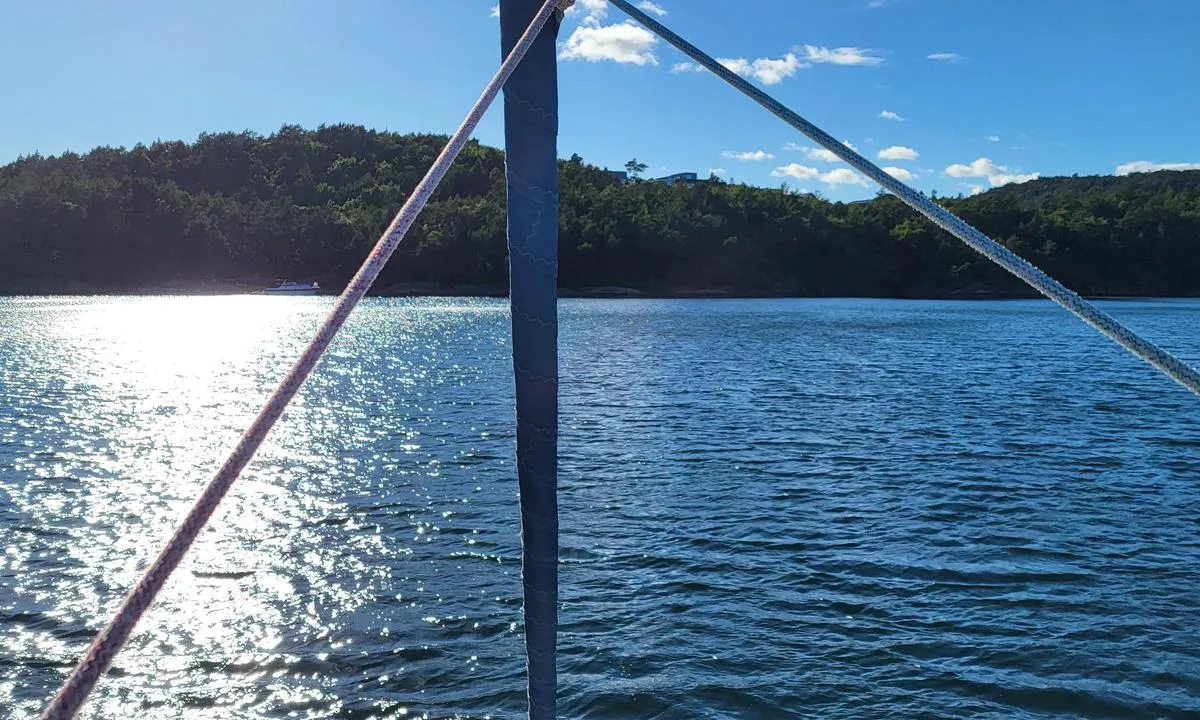
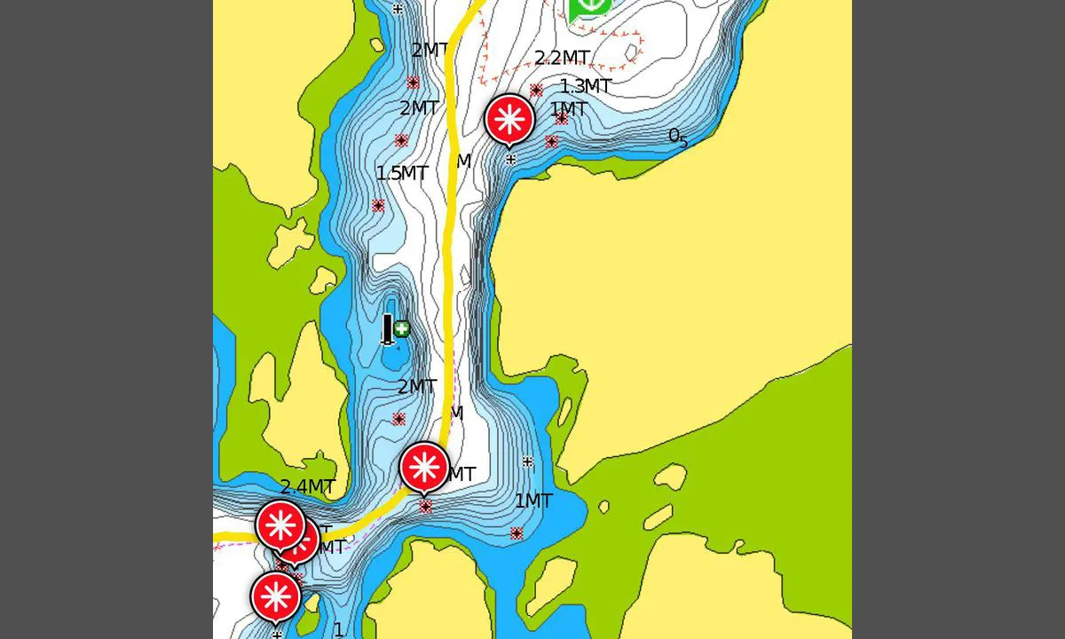
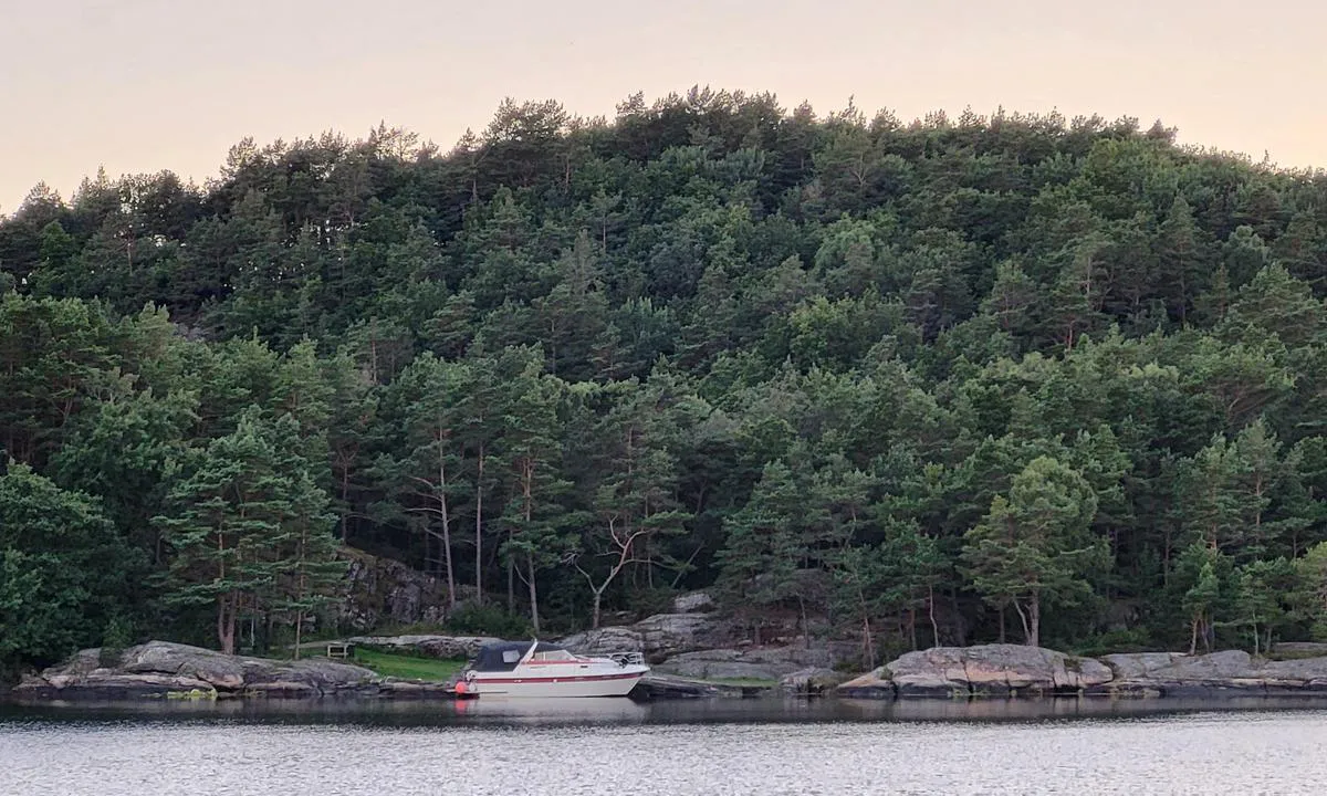
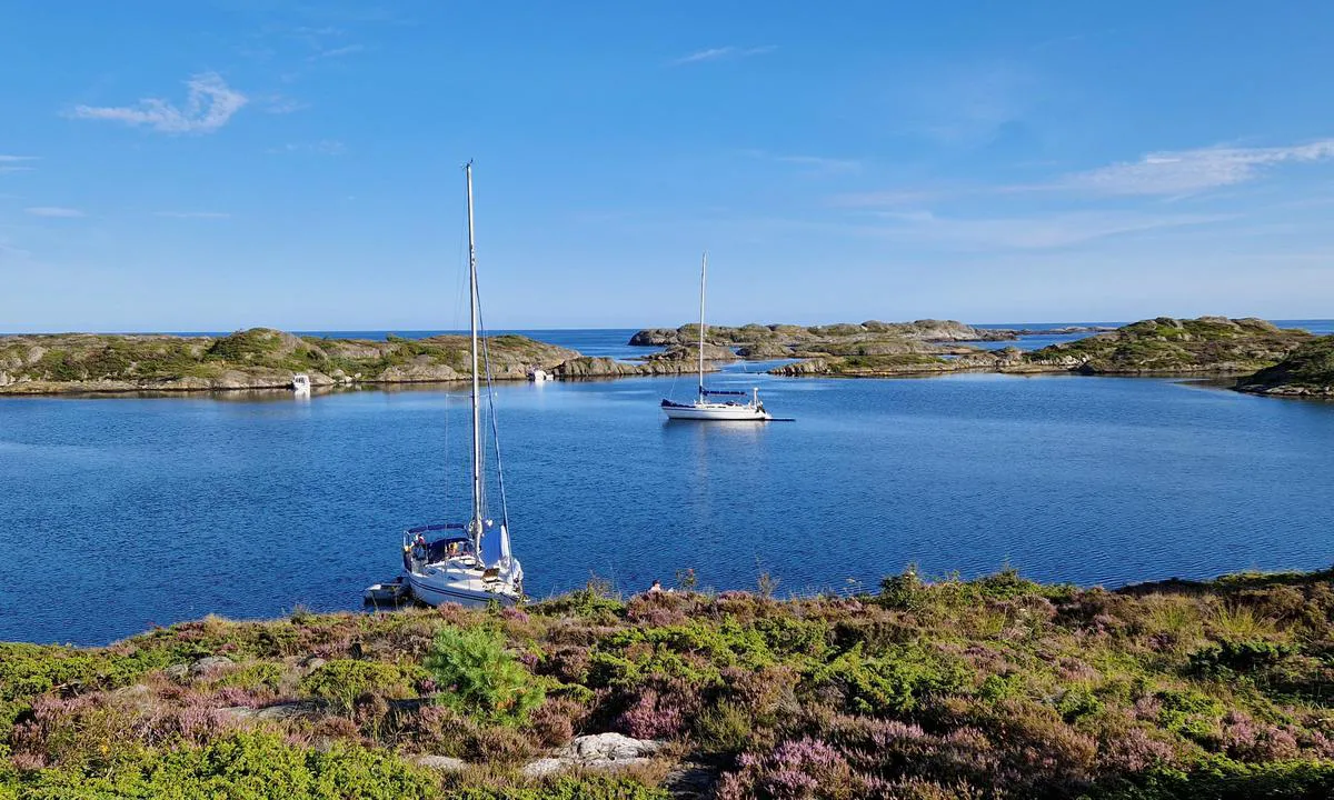
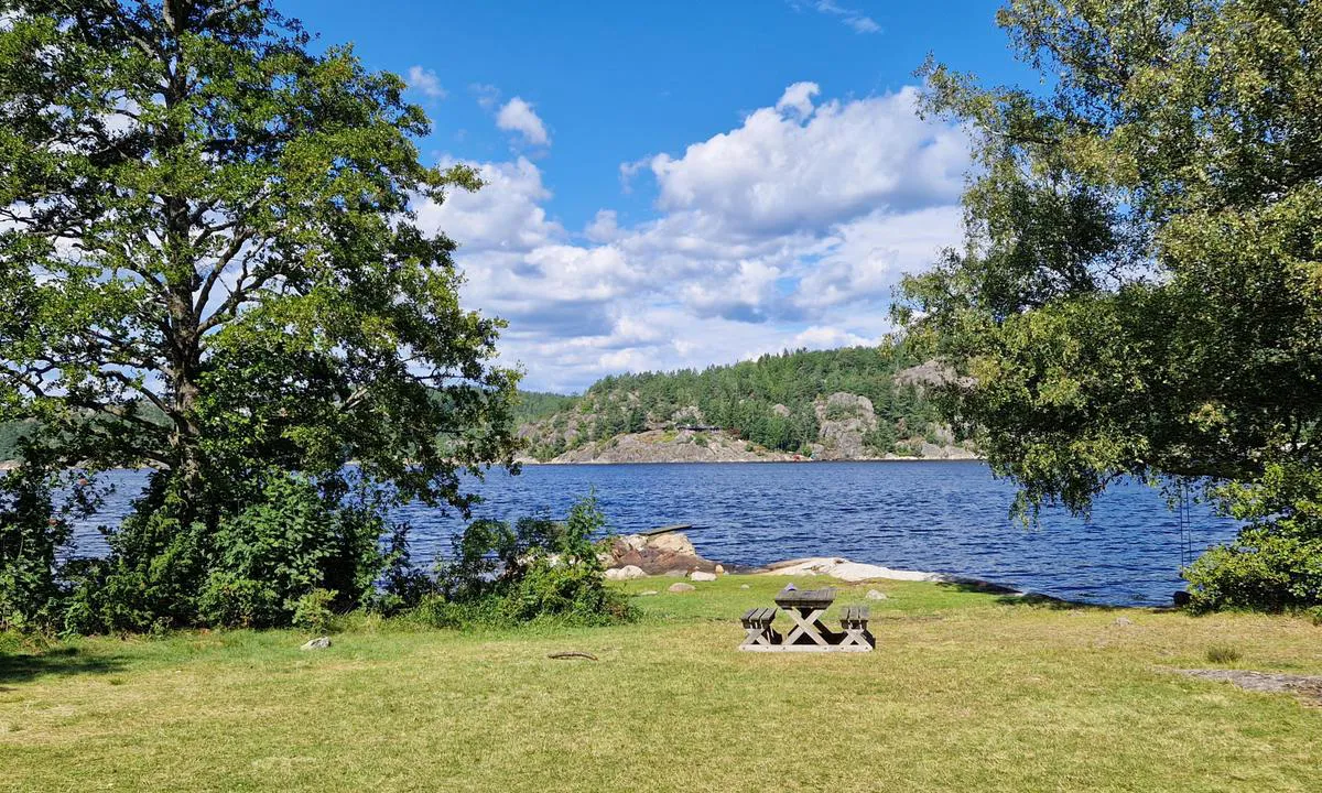
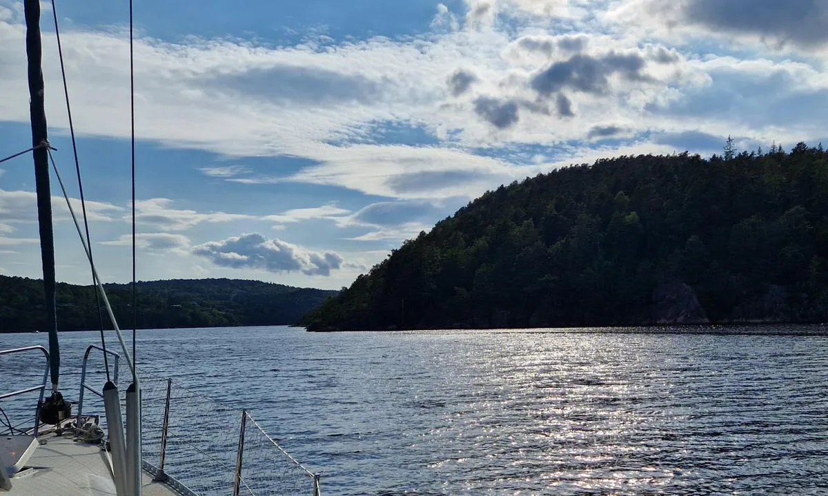
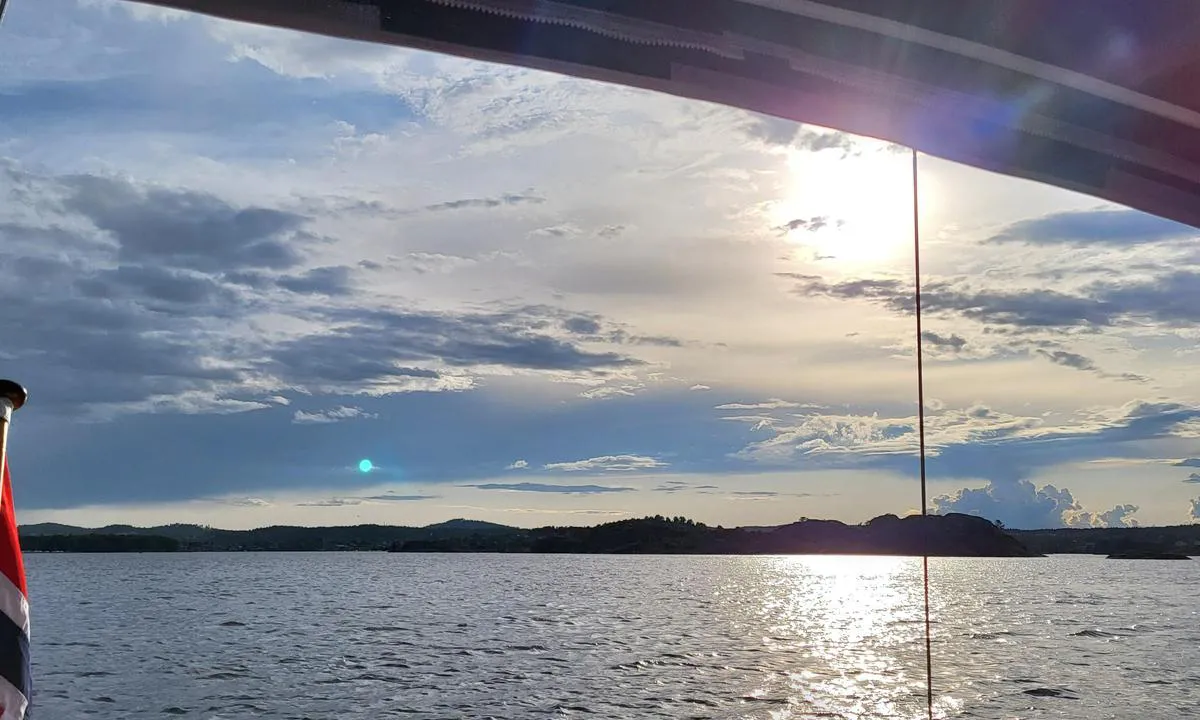
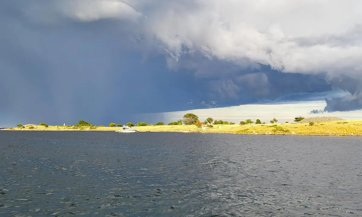
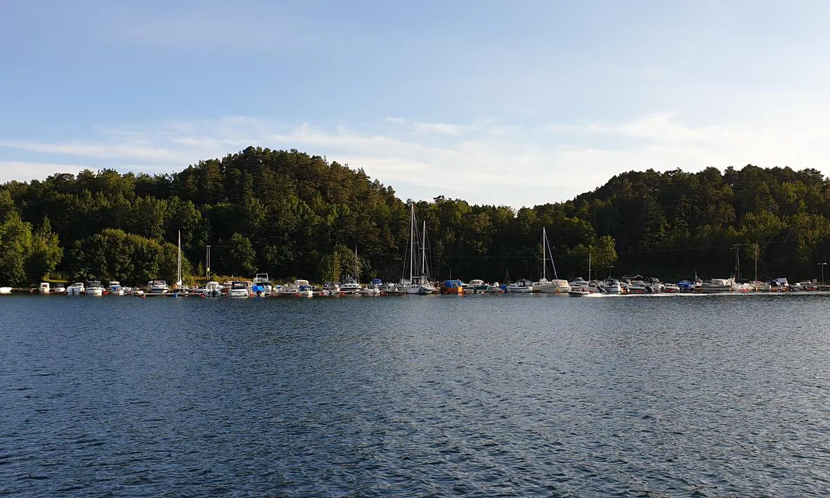
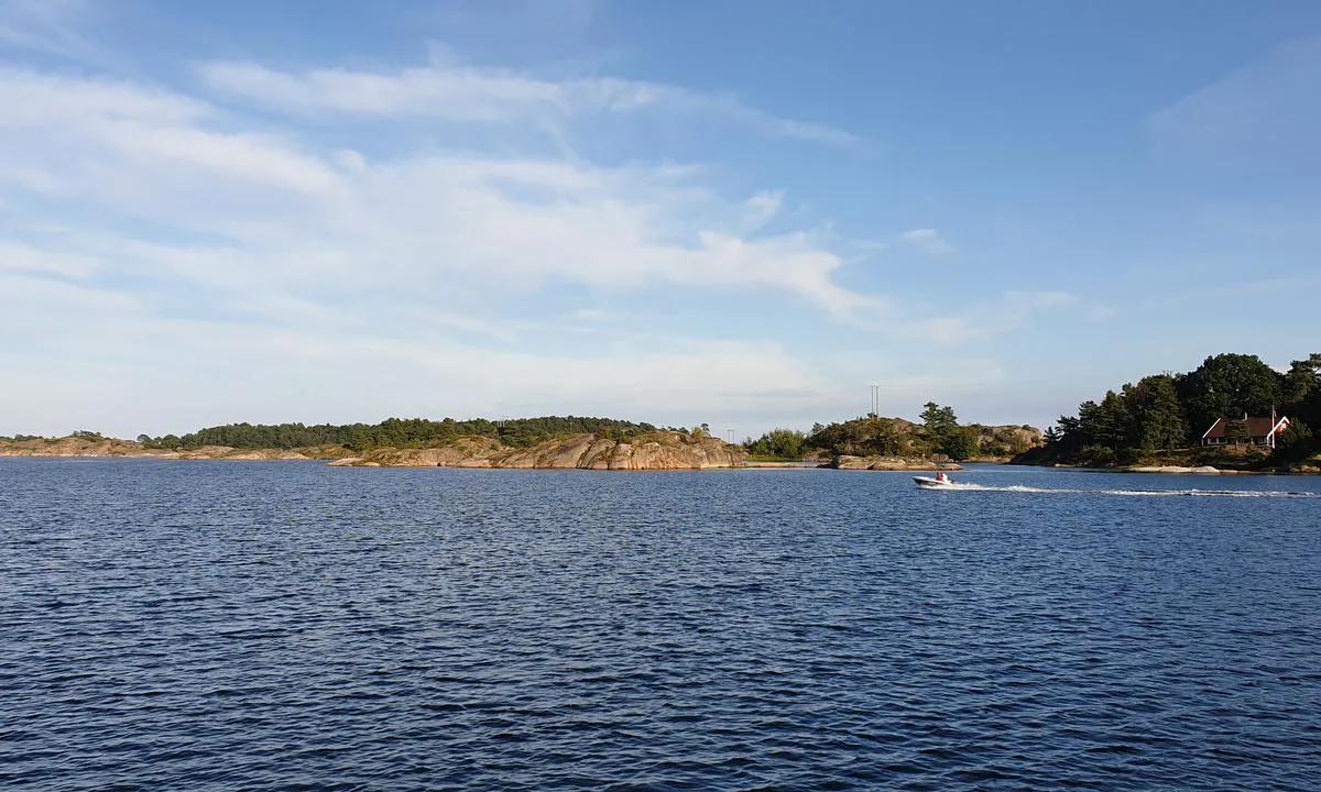
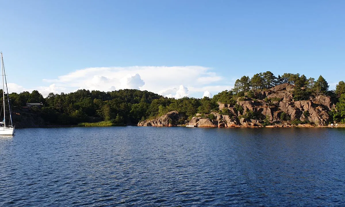
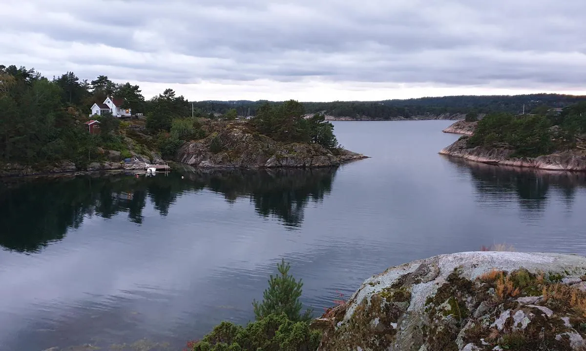
Harbour images
See an image you like? Please click the 👍 below the image to let Snorre Smith know you liked it. The images are sorted by popularity.
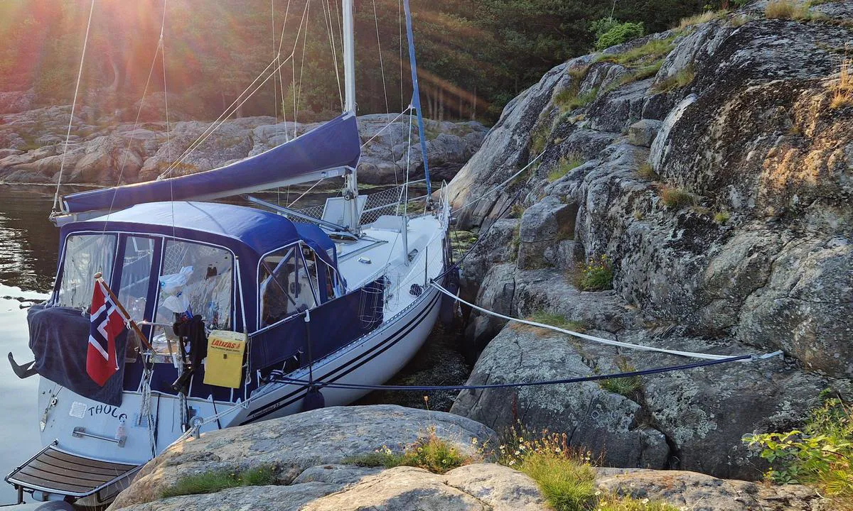
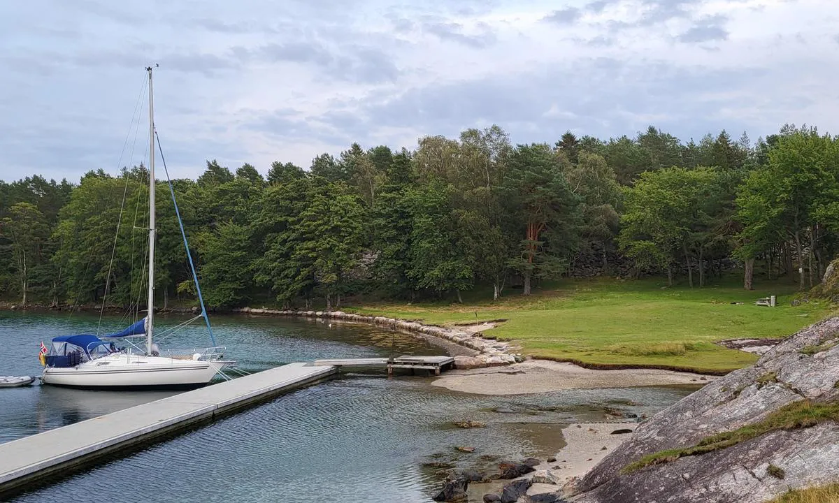
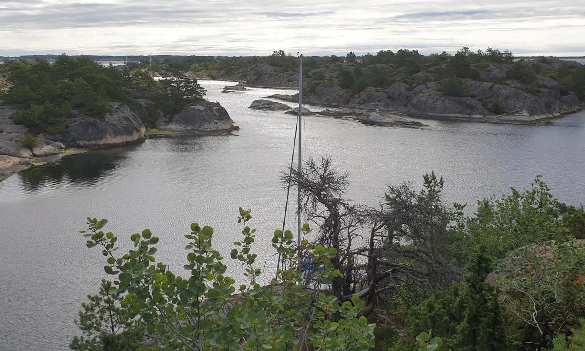
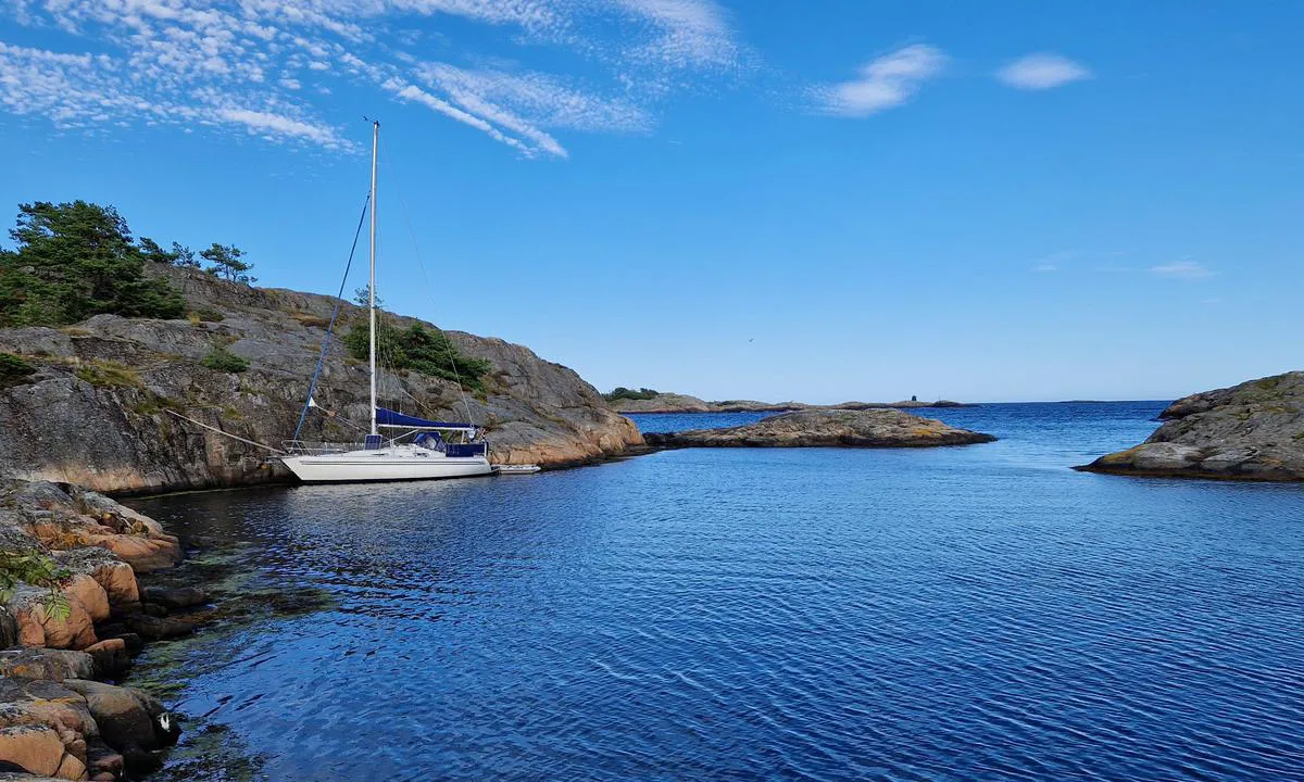
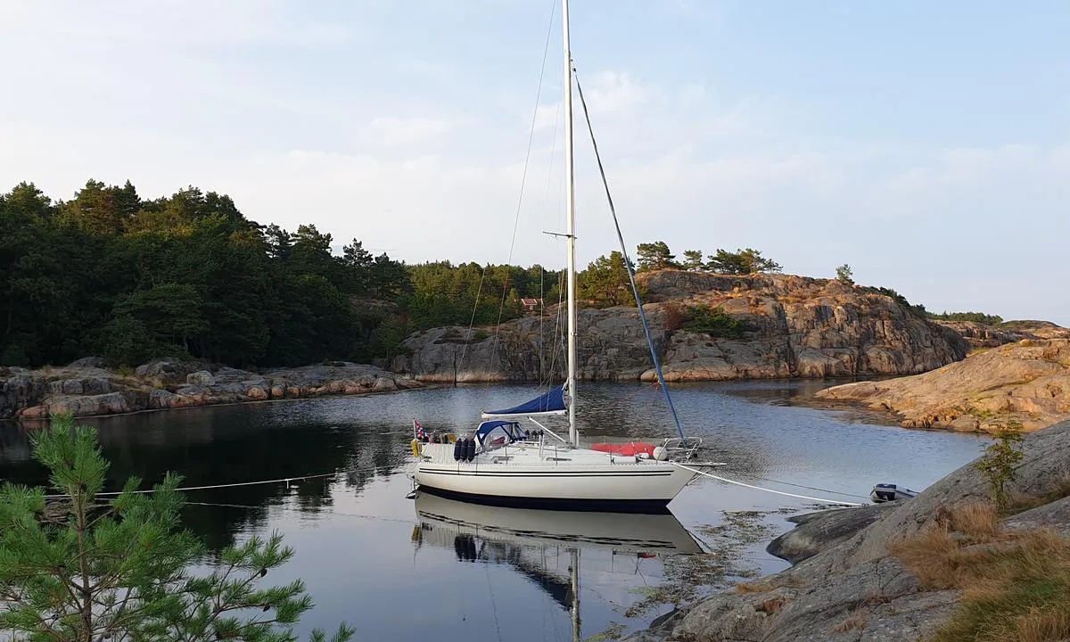
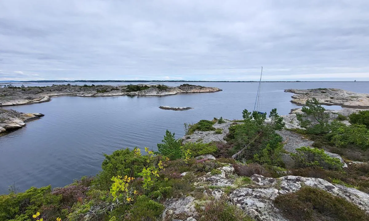
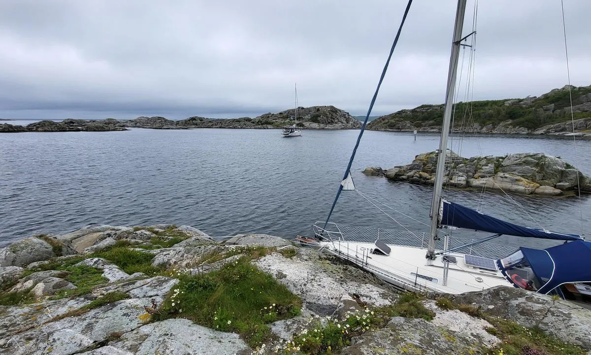
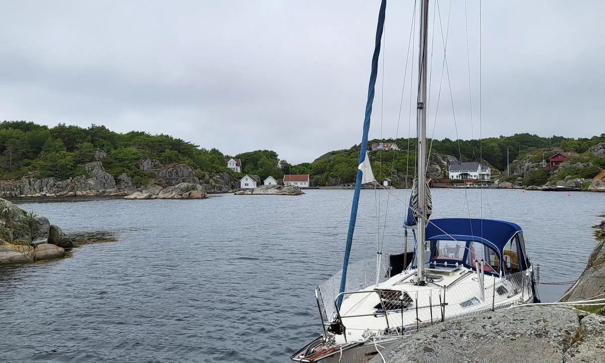
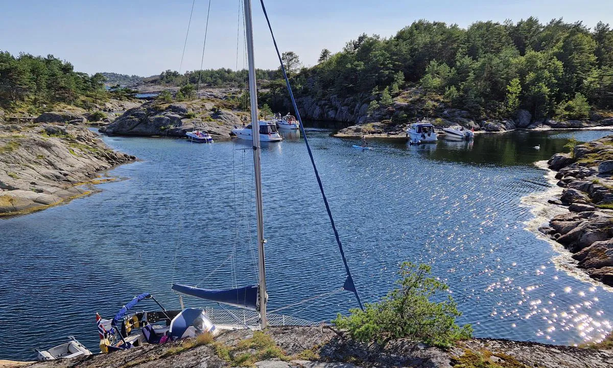
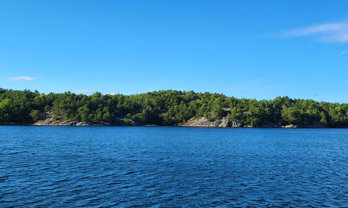
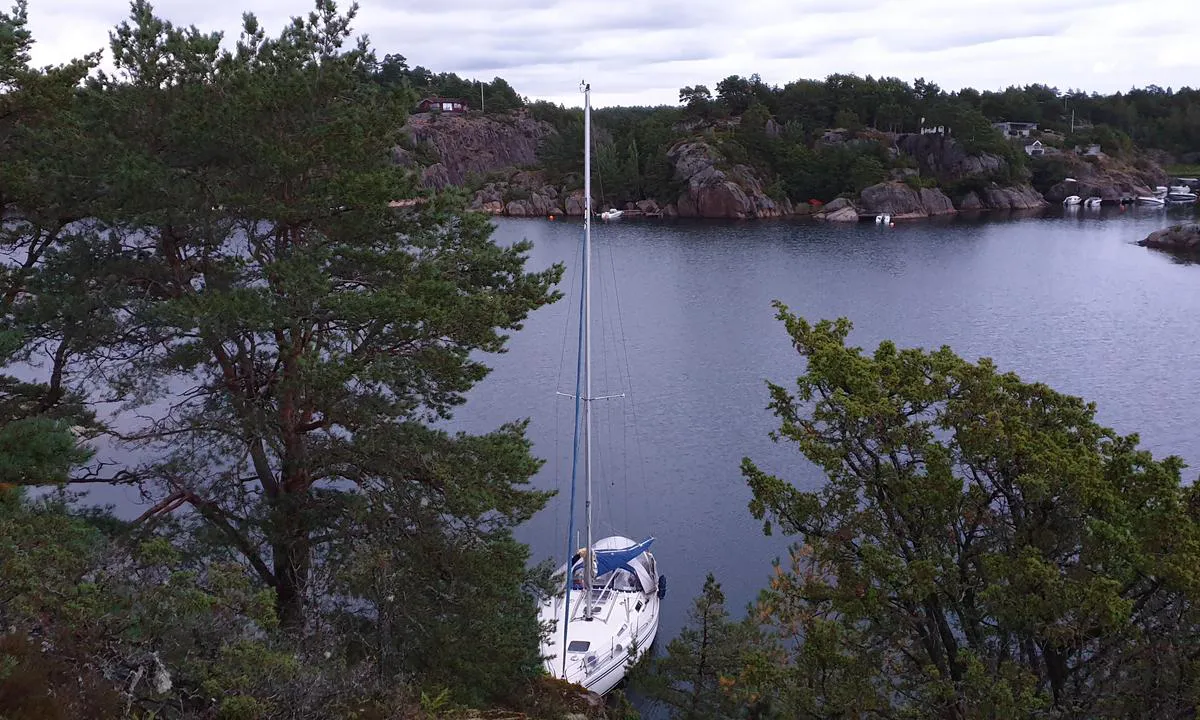
Saltbuholmen
natural_harbour

2 liker bildet
Image uploaded on 30. Jul 2024
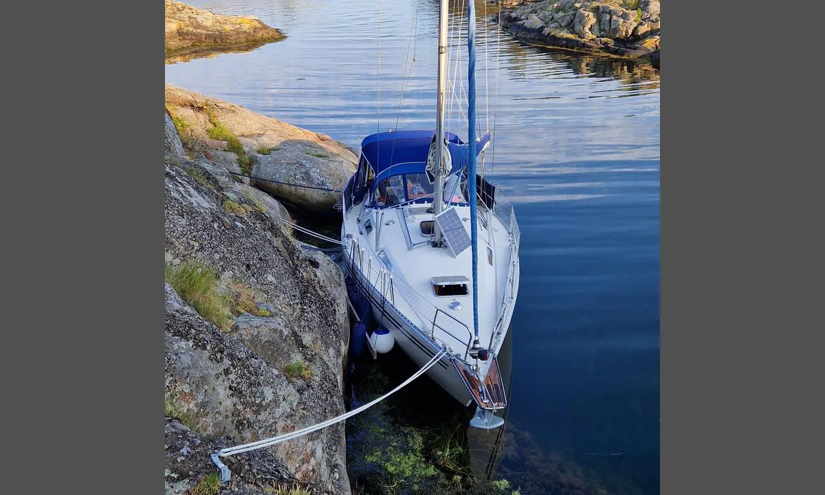
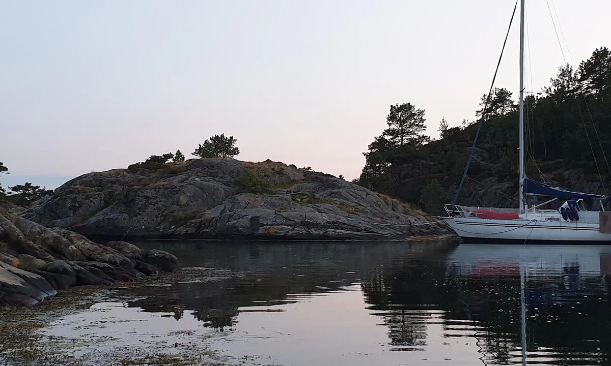
Saltbuholmen
natural_harbour
2 liker bildet
Image uploaded on 30. Jul 2024
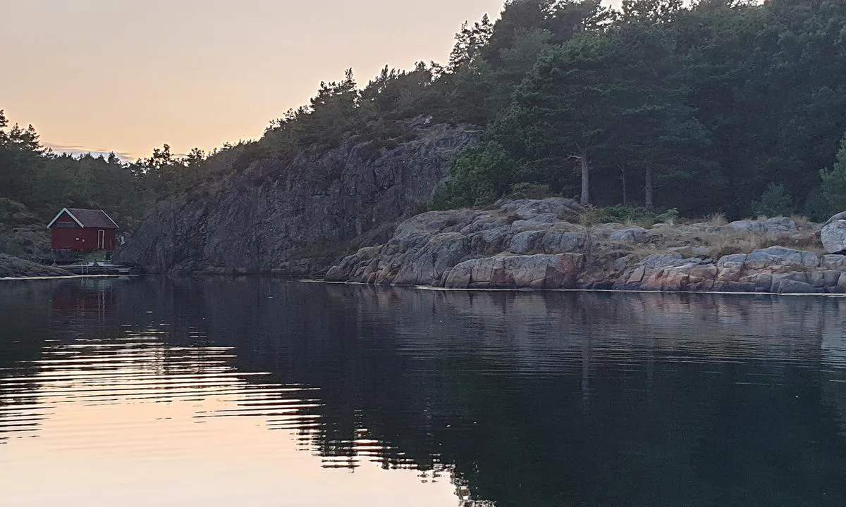
Saltbuholmen
natural_harbour
2 liker bildet
Image uploaded on 30. Jul 2024
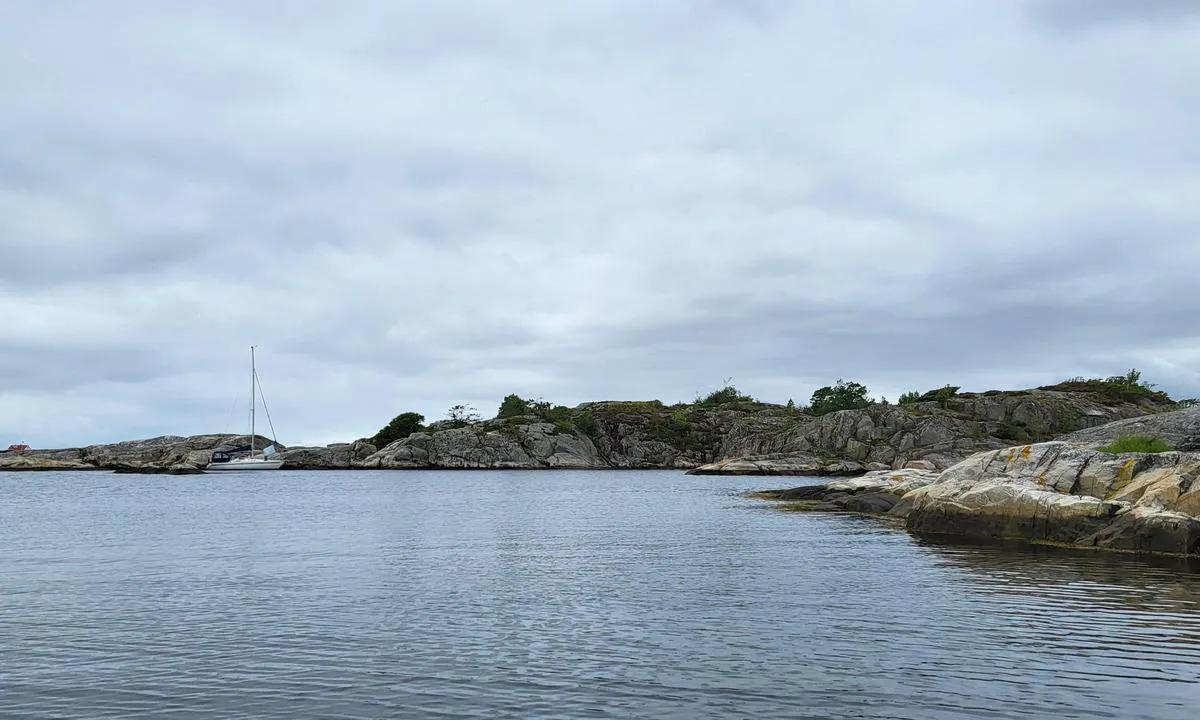
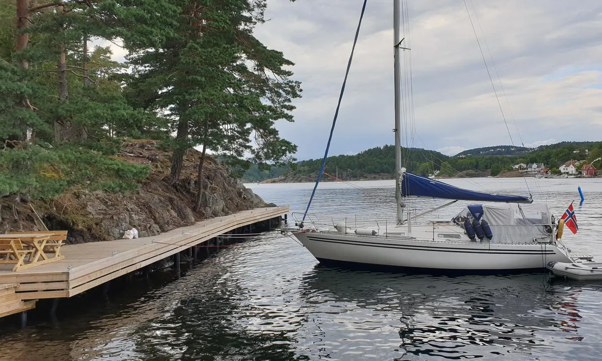
Burøy
natural_harbour
2 liker bildet
Image uploaded on 21. Jul 2021
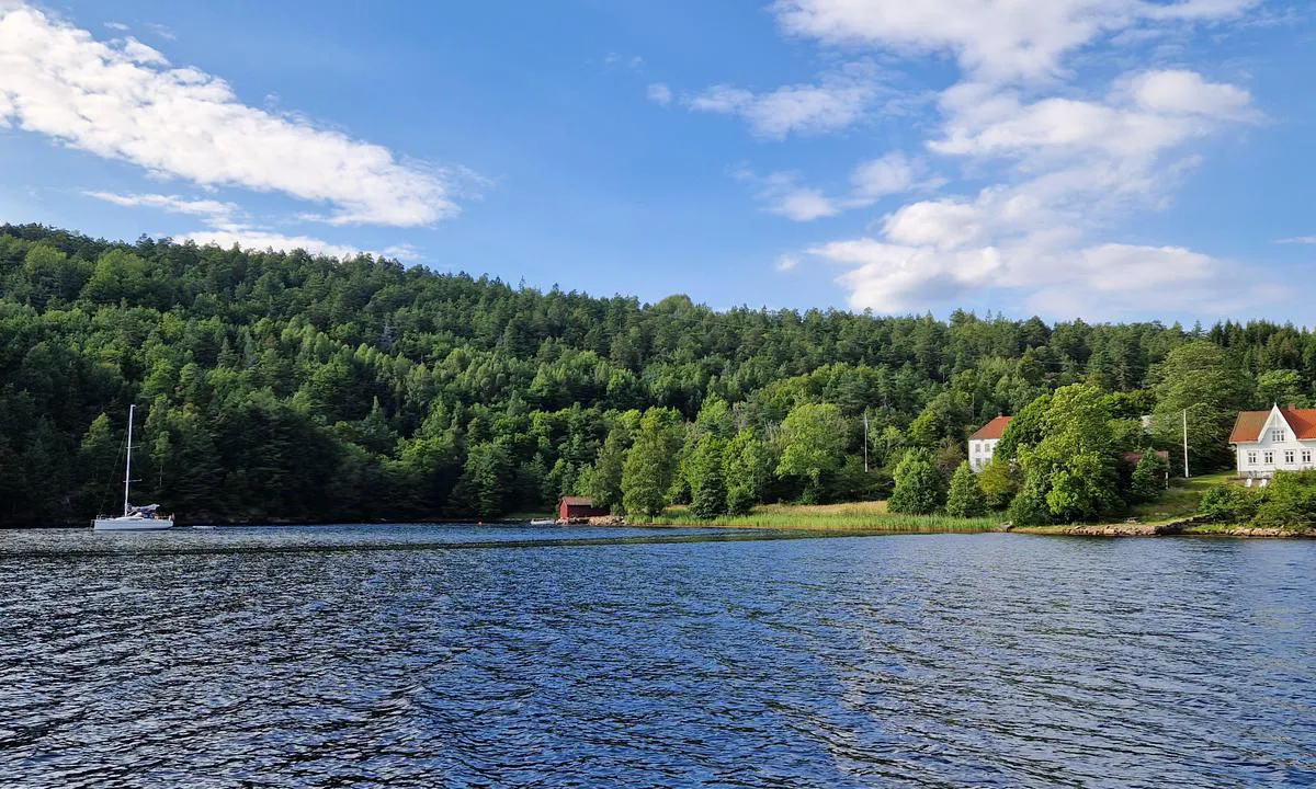
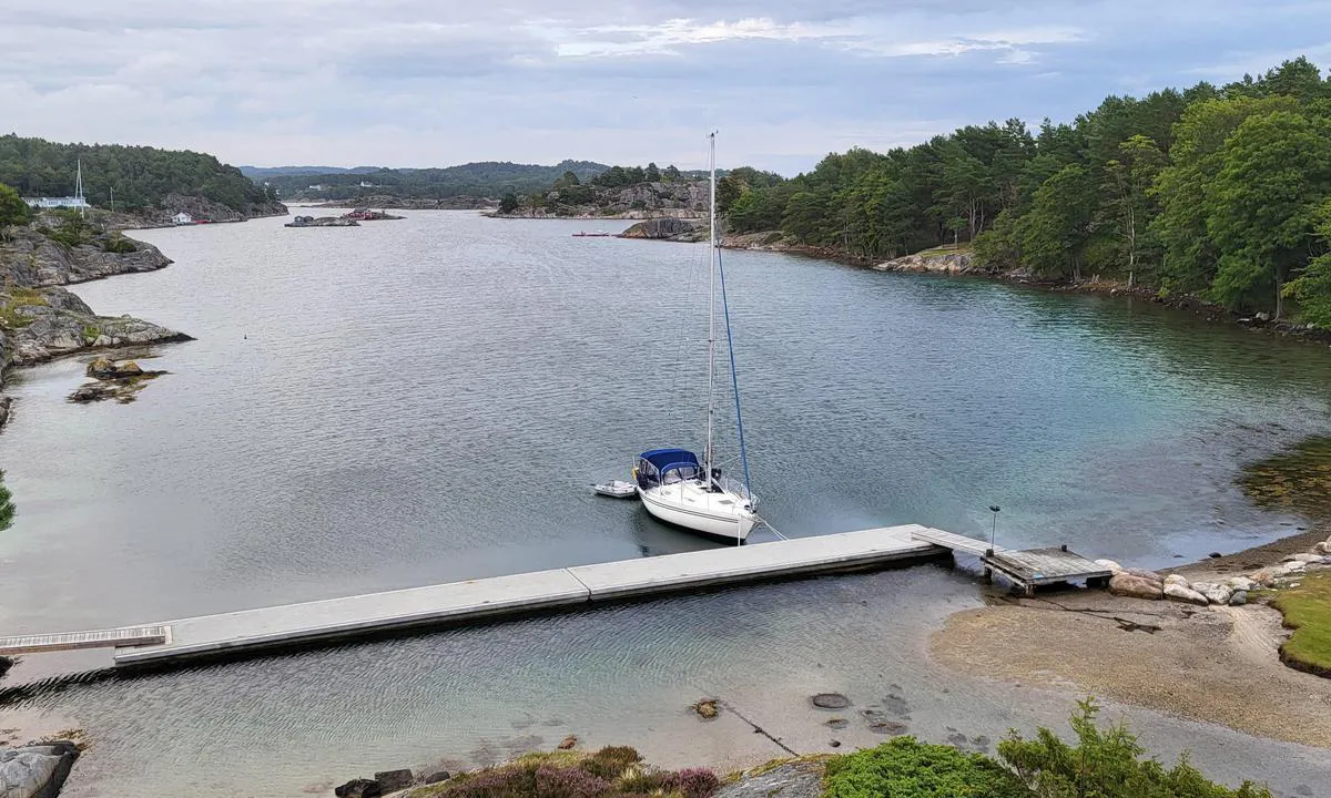
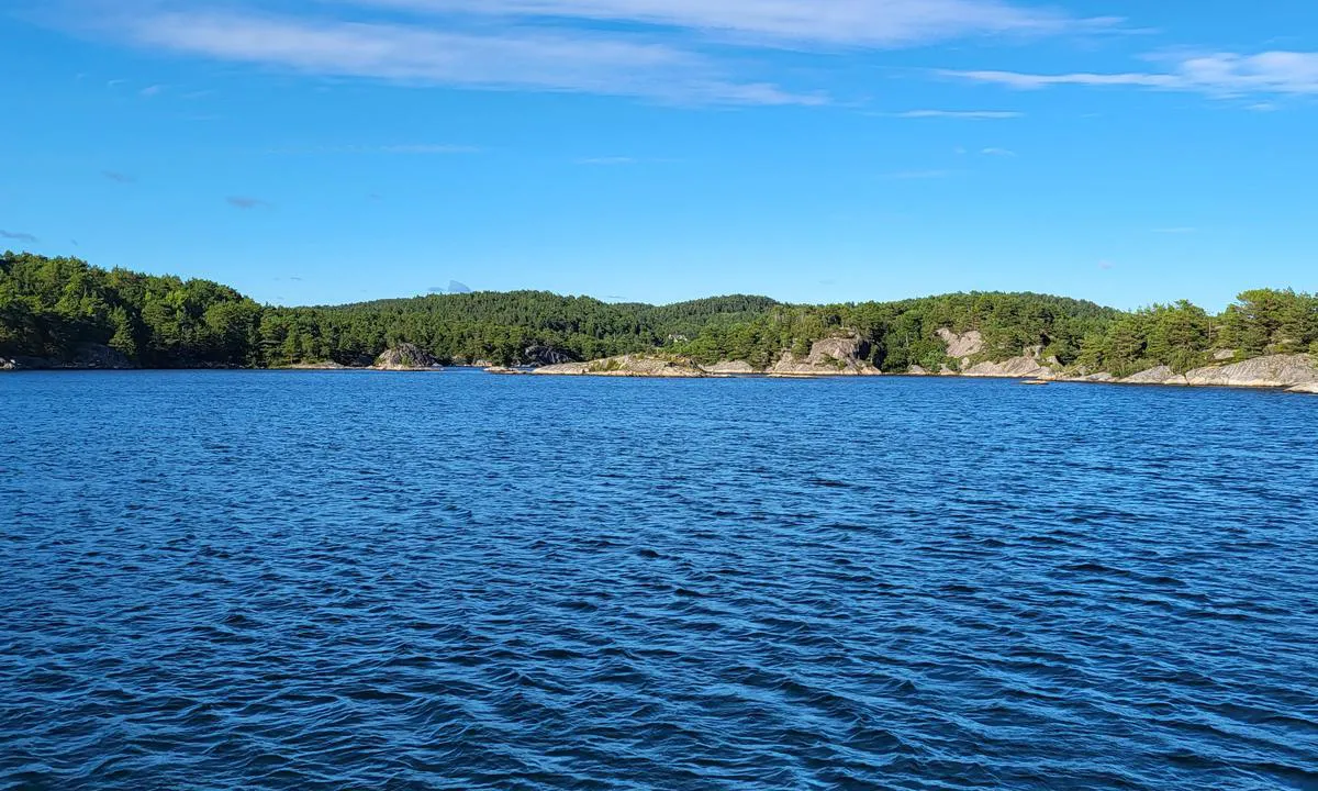
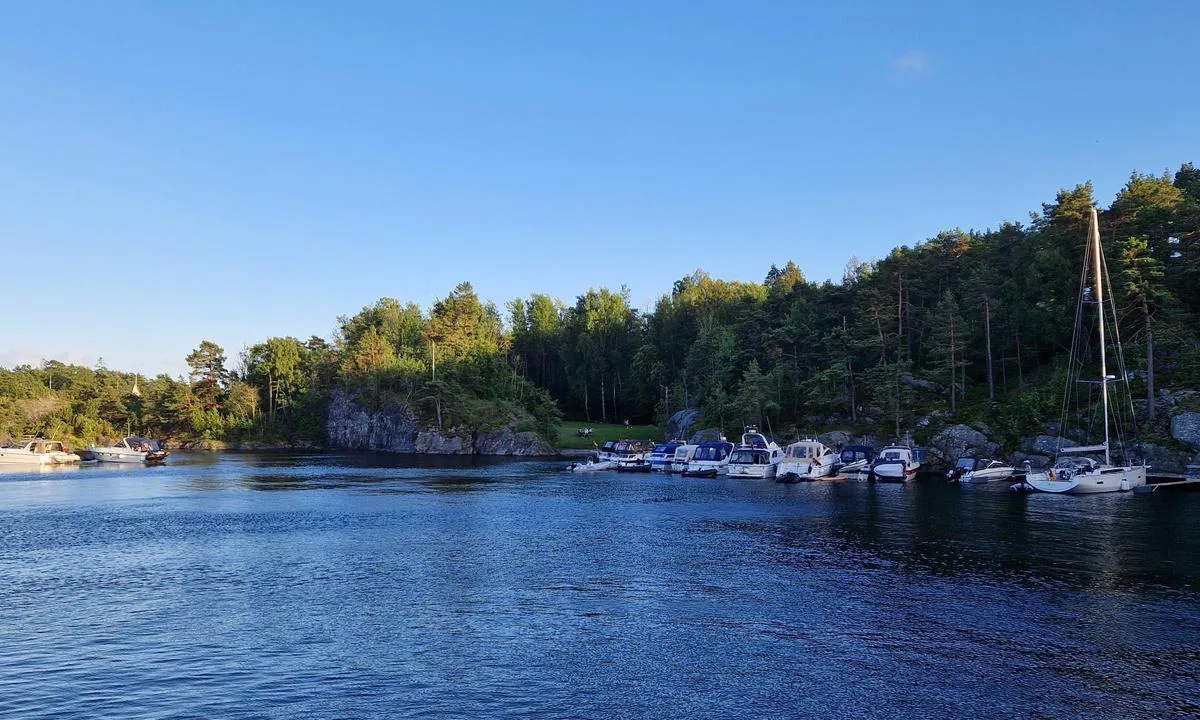
Midtre Sandvika
natural_harbour
2 liker bildet
Image uploaded on 31. Jul 2024
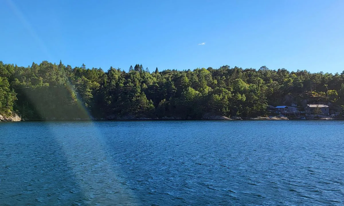
Midtre Sandvika
natural_harbour
2 liker bildet
Image uploaded on 31. Jul 2024
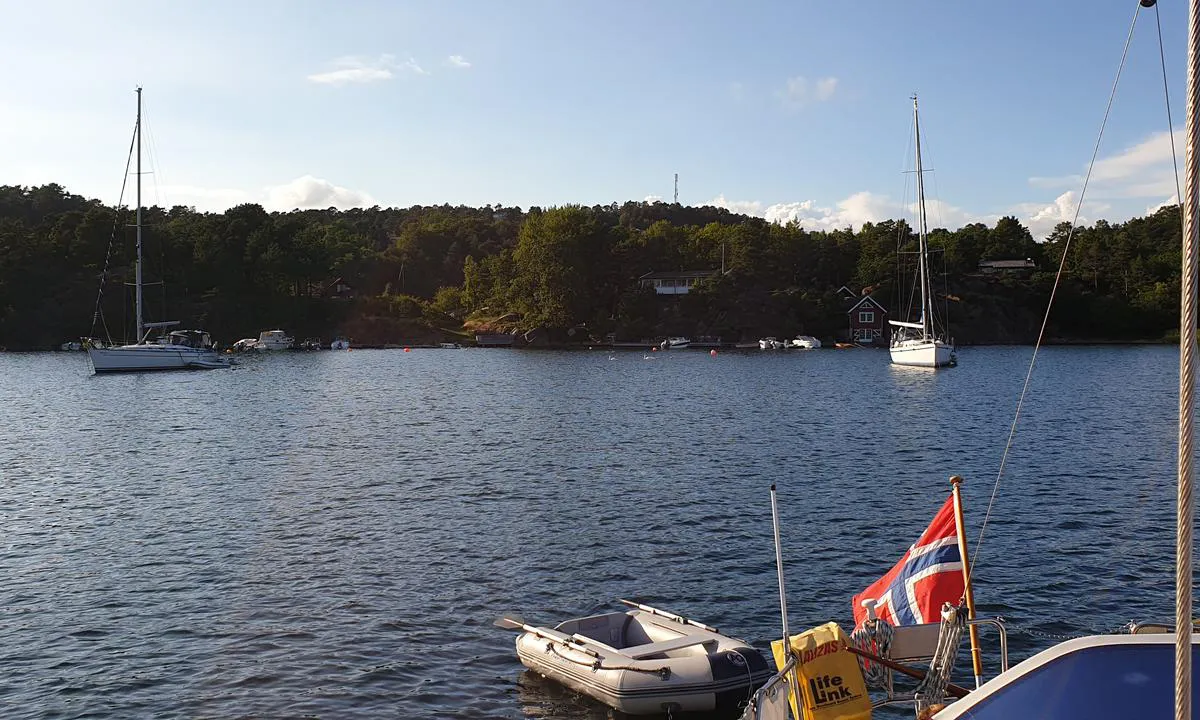
Selvågen - Mandal
natural_harbour
2 liker bildet
Image uploaded on 10. Aug 2023
Selvågen - Mandal
natural_harbour
2 liker bildet
Image uploaded on 10. Aug 2023
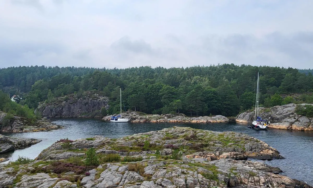
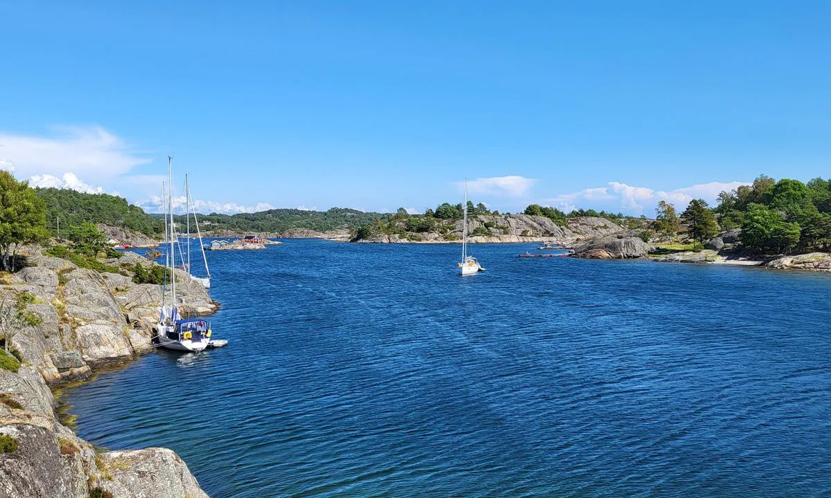
Maløyene
natural_harbour
2 liker bildet
Image uploaded on 13. Aug 2023
Åmlandskile
natural_harbour
1 liker bildet
Image uploaded on 30. Jul 2024
Midtre Sandvika
natural_harbour
1 liker bildet
Image uploaded on 15. Aug 2023
Jerkholmen
natural_harbour
1 liker bildet
Image uploaded on 3. Aug 2023
Burøy
natural_harbour
1 liker bildet
Image uploaded on 21. Jul 2021
Midtre Sandvika
natural_harbour
1 liker bildet
Image uploaded on 31. Jul 2024
Midtre Sandvika
natural_harbour
1 liker bildet
Image uploaded on 10. Aug 2021
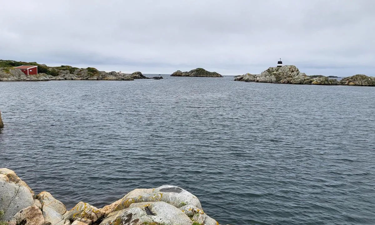
Saltsprøytene (Skratta)
natural_harbour
1 liker bildet
Image uploaded on 17. Aug 2023
Selvågen - Mandal
natural_harbour
1 liker bildet
Image uploaded on 10. Aug 2023
Selvågen - Mandal
natural_harbour
1 liker bildet
Image uploaded on 10. Aug 2023
Selvågen - Mandal
natural_harbour
1 liker bildet
Image uploaded on 10. Aug 2023
Ålesøya
natural_harbour
1 liker bildet
Image uploaded on 1. Aug 2024
Svensvika
natural_harbour
1 liker bildet
Image uploaded on 29. Jun 2024
Furøya Øst
natural_harbour
1 liker bildet
Image uploaded on 3. Aug 2021
Furøya Øst
natural_harbour
1 liker bildet
Image uploaded on 3. Aug 2021
Furøya Øst
natural_harbour
1 liker bildet
Image uploaded on 3. Aug 2021
Ulvøysund
natural_harbour
1 liker bildet
Image uploaded on 13. Aug 2023
Ulvøysund
natural_harbour
1 liker bildet
Image uploaded on 13. Aug 2023
Maløyene
natural_harbour
1 liker bildet
Image uploaded on 13. Aug 2023
Maløyene
natural_harbour
1 liker bildet
Image uploaded on 13. Aug 2023
Saltbuholmen
natural_harbour
0 liker bildet
Image uploaded on 30. Jul 2024
Åmlandskile
natural_harbour
0 liker bildet
Image uploaded on 30. Jul 2024
Jerkholmen
natural_harbour
0 liker bildet
Image uploaded on 3. Aug 2023
Jerkholmen
natural_harbour
0 liker bildet
Image uploaded on 3. Aug 2023
Midtre Sandvika
natural_harbour
0 liker bildet
Image uploaded on 31. Jul 2024
Saltsprøytene (Skratta)
natural_harbour
0 liker bildet
Image uploaded on 17. Aug 2023
Selvågen - Mandal
natural_harbour
0 liker bildet
Image uploaded on 10. Aug 2023
Selvågen - Mandal
natural_harbour
0 liker bildet
Image uploaded on 10. Aug 2023
Selvågen - Mandal
natural_harbour
0 liker bildet
Image uploaded on 10. Aug 2023
Svensvika
natural_harbour
0 liker bildet
Image uploaded on 29. Jun 2024
Ulvøysund
natural_harbour
0 liker bildet
Image uploaded on 13. Aug 2023
Barselkilen
natural_harbour
0 liker bildet
Image uploaded on 8. Aug 2021
Barselkilen
natural_harbour
0 liker bildet
Image uploaded on 8. Aug 2021
Barselkilen
natural_harbour
0 liker bildet
Image uploaded on 8. Aug 2021
Barselkilen
natural_harbour
0 liker bildet
Image uploaded on 8. Aug 2021
Åkvåg Killen
natural_harbour
0 liker bildet
Image uploaded on 8. Aug 2021
Åkvåg Killen
natural_harbour
0 liker bildet
Image uploaded on 8. Aug 2021
Midtre Sandvika
natural_harbour
0 liker bildet
Image uploaded on 10. Aug 2021
Midtre Sandvika
natural_harbour
0 liker bildet
Image uploaded on 10. Aug 2021
Furøya Øst
natural_harbour
0 liker bildet
Image uploaded on 3. Aug 2021
Furøya Øst
natural_harbour
0 liker bildet
Image uploaded on 3. Aug 2021
Reviews
See a helpful review? Please click the 👍 below the review to let Snorre Smith know that you found it helpful.
Snorre Smith says:
area


maritime qualities
description
Plenty of swinging room between Skibbeholmen and Krogsundlandet. Good depth for sailboats near the mountain west of Skibbeholmen, but bring your own wedges as there are few bolts there.
1 x helpful | written on 12. Aug 2023 | updated_on 12. Aug 2023
Snorre Smith says:
area
maritime qualities
description
Best approach from the southwest. Several reefs, so follow the nautical chart closely. Be especially aware of the wash reef / 0.5 meters on the port side when following the deepest channel. Also, be cautious of the 1.3-meter depth between the small islet in the middle and all the bolts towards the south/west (Saltsprøytene). This 1.3-meter area extends several meters outwards with slightly more depth, though still shallow for sailboats. It is also possible to sail in from the northwest. Narrow between reefs, but good depth. Follow the chart. Very exposed to wind from all directions. Waves coming in from the southwest. Plenty of “nose in” spots with bolts for motorboats. “Nose in” and a longside possible for sailboats towards Saltsprøytene. “Nose in” also possible for sailboats at the northernmost part of this bay towards one of the Skrattaholmen.
1 x helpful | written on 17. Aug 2023
Snorre Smith says:
area
maritime qualities
description
A beautiful islet safely out of the weather in open sea and the city's hustle. With a medium-sized sailboat, we could not get anchor hold on the north side due to steep depth, and the anchor slid up the rock/stone from 25m depth. Some currents out of the fjord also made nose-in on the north side difficult. Longside with a sailboat was not possible for us. The south side has a calm bay. To the west in the bay, bolts and we got an anchor hold, with a sandy bottom shallowing so we did not reach land before we stood on with 1.8m. East in the bay also has bolts, but rocky ground where the anchor did not hold. The mountain slopes out underwater by the three bolts, so not well suited for longside. The pier was occupied when we were there, but it looks ok for nose-in even if you have 2m draft. Shallowest on the right side towards the beach. Uncertainty in anchor hold if you find a hold in rock/stone some boat lengths out, or shorter anchor hold in sandy ground closer to the pier. Finally, a bit further into the bay, on the east side, there is a crevice with flat rock and 4m depth, about 12m long. The left of the three east bolts aft and the boat with the bow in the crevice, a fourth bolt east further in and a few wedges in addition and you lie in a very calm place.
1 x helpful | written on 30. Jul 2024 | updated_on 30. Jul 2024
Snorre Smith says:
area
maritime qualities
description
Protected calm bay. Good depths, bottom conditions, and space for swinging, and you can position yourself as desired with respect to wind and morning/evening sun.
1 x helpful | written on 30. Jul 2024
Snorre Smith says:
area
maritime qualities
description
Sandbank north of Brattholmen, so keep a safe distance. We got a good anchor hold and nose in, and saw others on the swing who held well. Also saw others who tried to swing and didn't get a hold. To the best of our judgment, sandy bottom and somewhat loose, so good length/chain and a good/large anchor are needed here.
We have sailed all of the southwest and northwest of the bay and updated the marking of bolts on the chart. Approximately half of these are also suitable for sailboats.
1 x helpful | written on 1. Aug 2024 | updated_on 2. Aug 2024
Snorre Smith says:
area
maritime qualities
description
Choose a route according to the chart to get behind the islet. Several of the passages are very shallow if you draw a couple of meters. We chose to anchor a bit south of the middle of Jerkholmen. Found good holding in 7-8 meters depth, even when the wind shifted. The islet is low and offers little wind protection. Large and open in all directions. Didn’t notice any swell from the sea. If you have a good anchor and anchor properly, you'll be fine even if it's a bit windy. Be aware that there is some boat traffic passing through (those that don't draw much, but go fast). So remember to definitely use the anchor light AND low lighting on the boat/in the cockpit.
1 x helpful | written on 3. Aug 2023
Snorre Smith says:
description
Approach and maritime conditions: There are alongside berths on the south, southeast side of Fruertholmen. Also on the north side of the channel when you sail into Burøykilen. Nautical charts do not have all the details, but the approach past Kaninholmen is also fine even if you draw a couple of meters. There are two shoals on the left on the way in. One just before the reefs on the left side, and a spit protruding from the middle reef. Keep slightly to the right of center on the way in to avoid them. Beware when entering, as Kaninholmen has an underwater point extending into the bay on your right when you come in. It is generally shallow west of Kaninholmen. Once inside, the depth is 3-5 meters. It is possible to dock alongside in one or two places depending on depth and boat formation. Alternatively, anchor and tie up ashore. Watch out for the shoal extending southward by the Skjærgårdspark sign, but if you aim for the best and deepest alongside spots you will avoid this. It is possible to lie at anchor. Watch out for water pipes marked on the chart.
1 x helpful | written on 21. Jul 2021
Snorre Smith says:
description
Entry and maritime conditions: If you dare to sail in, you will find a small paradise. The nautical chart does not give all the details, but if you stay in the middle of the channel, there is 3-4 meters depth all the way in. At the innermost part of the inlet, there is a lot of seaweed and it is difficult to gauge, but after a bit of probing with a boat hook from a dinghy, the entire middle section of the inlet is 2.5 meters or deeper. No guarantee that there aren't rocks somewhere, but you will only see and find seaweed or hard sandy bottom. Closer to the cliffs, it shallows with both sand and rock.
Anchoring: To the south, southeast, and southwest, you can carefully point the bow towards land and possibly get a line ashore. With a sailboat of 1.5 to 2 meters draft, you can't expect to remain close for easy disembarkation as you need to keep some distance due to the keel. To the north, there is 2-3 meters depth close to the cliff and easier to moor bow-in or possibly alongside if you find a suitable area. There are only two bolts in the entire inlet and little vegetation, so have rock spikes ready. Difficult with an anchor in all the grass and hard sand, but at the same time very protected, so little drift of the boat regardless of wind direction.
1 x helpful | written on 11. Aug 2021
Snorre Smith says:
area
maritime qualities
description
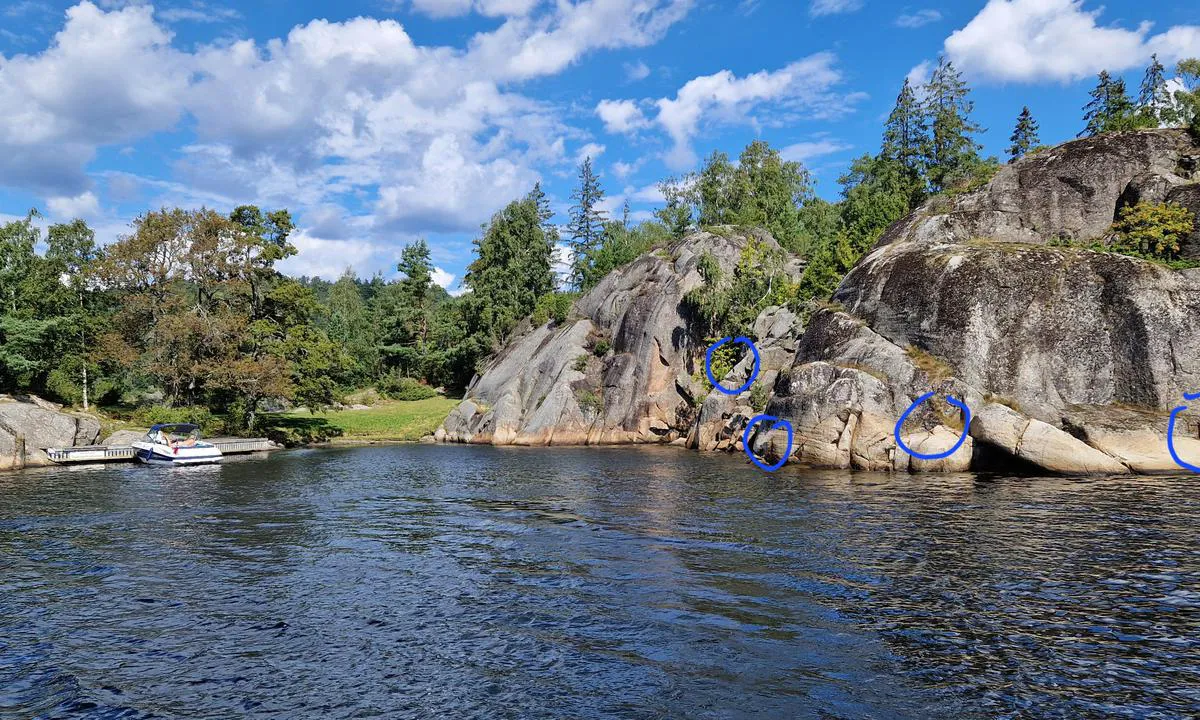
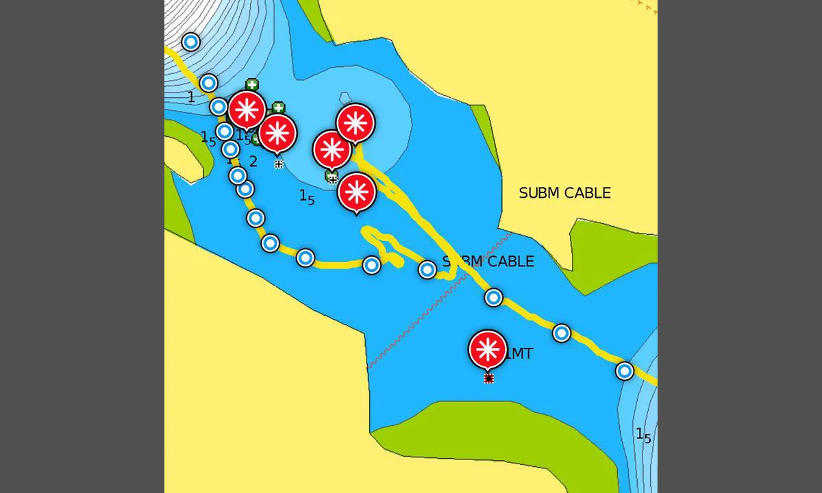
Challenging entrance for boats drawing one and a half meters or more. And when (if...) you manage to find the route in, a fantastic cove/bay reveals itself, well worth the effort. Inside the bay, there is ample swinging room with a depth of about 4-8 meters. There are a couple of piers and several rocks with bolts. Be aware of several shallows if you move towards the rocks in the southeast and northwest. A small handful of cabins, but at a decent distance from the piers and swinging area. Naturally, there is no swell or waves entering here. However, the terrain all around is low, so at the swinging area, you will notice winds from all directions, albeit dampened from offshore. If you moor towards the land, you will get protection from the direction you are mooring towards. The entrance has three challenging sections. If you succeed with the first one, you can easily handle the last two narrow spots by closely following a good nautical chart. For the first and difficult one, see the description in the accompanying image.
1 x helpful | written on 10. Aug 2023 | updated_on 10. Aug 2023
